A new hurricane monitoring technique may be better at detecting sudden bursts in a storm’s activity, such as the one that surprised Florida residents when Hurricane Charley hit in 2004, say the researchers who developed it.
Using a radar network, the technique will provide a detailed 3-D view of any hurricane approaching the Atlantic and Gulf coasts every six minutes, whereas current techniques can only update information about a storm every few hours.
“With this technique, meteorologists for the first time will be able to monitor the strength of a hurricane every few minutes as it approaches landfall and quickly alert coastal communities if it suddenly intensifies or weakens,” said one of the meteorologists who developed the system, Wen-Chau Lee of the National Center for Atmospheric Research (NCAR).
Latest Videos From
Currently, aircraft drop instruments into the swirling winds of a storm to provide forecasters with the critical information to make predictions about a hurricane’s path and strength.
These readings do well while the hurricane is out at sea, but can miss the sudden intensification or de-intensification of a storm during the critical 10 to 15 hours before landfall.
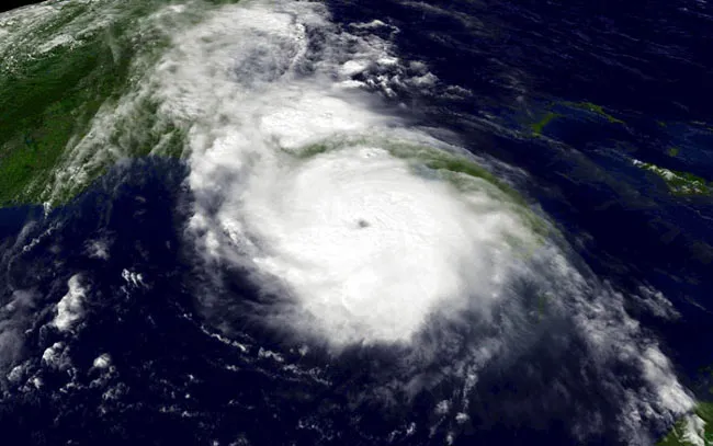
For example, residents of the southwest coast of Florida were caught by surprise when Hurricane Charley suddenly intensified from a Category 2 to a Category 4 storm with winds of more than 145 miles per hour just six hours before it made landfall in 2004. Charley devastated Captiva Island and nearby Fort Myers, causing about $15 billion of damage and making it the fourth costliest hurricane in U. S. history.
To test their new technique, which ties together information from a Doppler radar with general knowledge of hurricane structure, the researchers retroactively applied it to Hurricane Charley.
They were able to accurately predict Charley’s sudden burst of activity—a prediction that would have been useful to Floridians in 2004, to say the least. The study’s results were published in a recent issue of the journal Geophysical Research Letters.
“Our research shows that this technique can capture sudden intensity changes in potentially dangerous hurricanes,” said study team member Michael Bell, also of NCAR.
The team plans to test their technique during the 2007 hurricane season, which begins Friday, June 1.

 Live Science Plus