


Who's ready to break out the 6-mile-long measuring tape?
Scientists in India are prepping for an expedition to measure the height of Mount Everest, to determine whether a massive 2015 earthquake in Nepal really shrank the world's tallest peak.
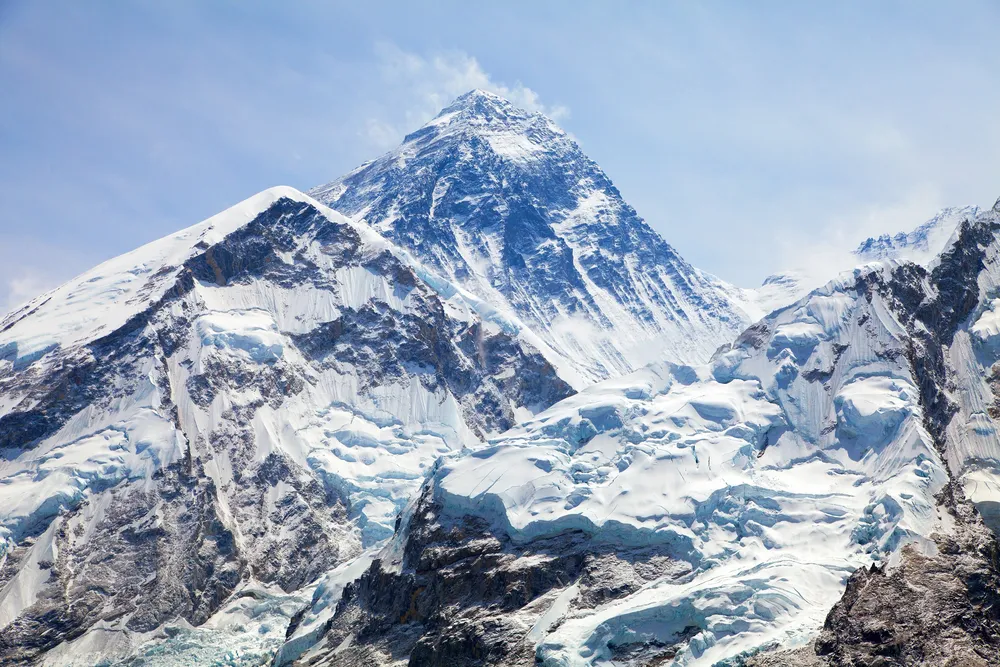
India's surveyor general, Swarna Subba Rao, plans to embark on a new effort to measure the peak, which is officially 29,029 feet (8,848 meters) tall, the Press Trust of India (PTI) reported. The trip, which will begin in two months, is scheduled to take a month to complete, with an additional two weeks for data analysis, according to the PTI. [Photos: The World's Tallest Mountains]

Shaky ground
After a magnitude-7.8 quake struck Nepal in April 2015, the capital city of Kathmandu rose vertically by about 3 feet (1 m), while satellite imagery suggested Mount Everest became about 1 inch (2.54 centimeters) shorter.
That finding was controversial because conventional wisdom held that such quakes — which shove earth to the surface when two tectonic plates collide — should be building mountains, said John Elliott, a geophysicist at the University of Leeds in England.
To see if other mountains in the region also lost some height, Elliott and his colleagues used satellite imagery to measure displacements in the mountains closer to Kathmandu, which is about 100 miles (160 km) from Mount Everest. There, the earthquake's impact was clear.
"What we've shown and others have corroborated is, it shrunk the highest mountains," Elliott told Live Science. "But the lower mountains it built up a bit."
Get the world’s most fascinating discoveries delivered straight to your inbox.
If Everest had been closer to the quake's epicenter, the shrinking effect would have been more pronounced, Elliott said..
However, "because Everest is far away, we can't conclusively say it went down; it's within the error of our measurement," Elliott said.
Questions answered?
Now, the surveyors plan to use two techniques to measure Mount Everest: First, the team plans to put a GPS device at the summit and record a distance between the summit and sea level. Second, the team will use triangulation — essentially drawing baselines between two points on the Earth's surface at the base of the mountain, and then using the angles between those lines and the peak to determine the height. "If you have two angles, you know the third, because the sum of the angles is 180 [degrees]," Peter Molnar, a geologist at the University of Colorado, Boulder, told Live Science last year.
"We are doing at the same time by both methods for better confirmation," Rao told the Press Trust of India.
However, answering the question on Mount Everest is going to be tricky, Elliott said.
"The amount it's likely to have moved from the earthquake is really quite small," Elliott said.
Meanwhile, myriad other forces are also at work, shaping the mountains. The Himalayas are growing thanks to the slow-motion collision between the Indian and Eurasian plates. Scientists now believe that during the quiet times between earthquakes, buildup of stress on the faults between those plates fuels that growth.
If it's been many years since Indian scientists last surveyed Everest, then their current measurement will be a result not only of the height change wrought by the earthquake, but also changes due to that constant uplift, Elliott said. If the area around Kathmandu is any indication, the mountains may grow about 0.25 inches (0.63 cm) a year. China conducted a survey in 2005, while India's measurement (which remains the basis for the peak's official height) was conducted in 1955 and confirmed by the Chinese in 1975, The Guardian reported. Nepal is planning its own survey, the BBC reported.
So it's possible the new survey may find the mountain has grown since the last measurement, and any shrinkage due to the quake would be drowned out, he added. [Infographic: Plate Tectonics & Continental Drift]
What's more, though uplift is assumed to occur at a constant rate between quakes, scientists don't know exactly how much the fault ruptures undo that uplift in the immediate aftermath of a temblor.
"We don't know how much of that 'up' eventually must come back down in these earthquakes," Elliott said.
Given the limits of the measurement accuracy and all the possible unknowns, a new survey may not answer the question of whether Mount Everest shrank, Elliott said.
"It's going to be a challenge, but maybe not impossible," Elliott said.
Originally published on Live Science.

Tia is the editor-in-chief (premium) and was formerly managing editor and senior writer for Live Science. Her work has appeared in Scientific American, Wired.com, Science News and other outlets. She holds a master's degree in bioengineering from the University of Washington, a graduate certificate in science writing from UC Santa Cruz and a bachelor's degree in mechanical engineering from the University of Texas at Austin. Tia was part of a team at the Milwaukee Journal Sentinel that published the Empty Cradles series on preterm births, which won multiple awards, including the 2012 Casey Medal for Meritorious Journalism.