
 Live Science Plus


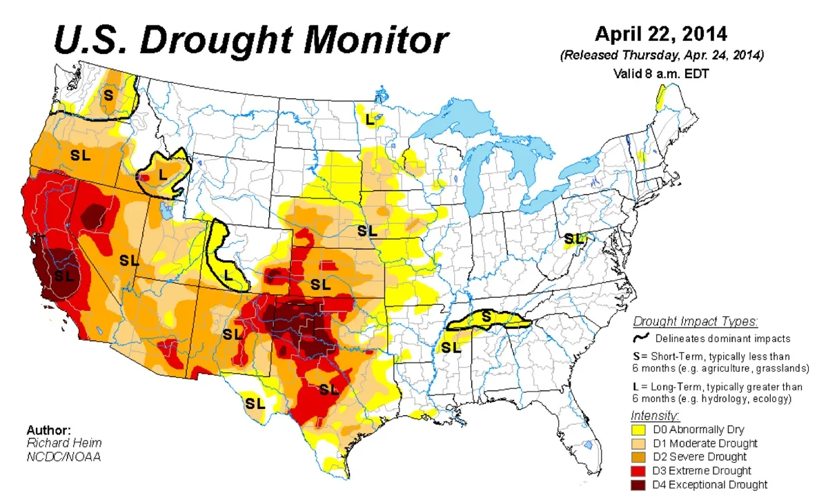
California is parched, with 100 percent of the Golden State entrenched in drought conditions for the first time in 15 years, according to the U.S. Drought Monitor (USDM).
"With the expansion of D1 [moderate drought] across southeast California and southwest Arizona, this week marks the first time in the 15-year history of the USDM that 100 percent of California was in moderate to exceptional drought," according to a statement by the Monitor, which is a joint effort by the National Drought Mitigation Center, NOAA, the U.S. Department of Agriculture and U.S. drought observers.
Since March 25, the state has been under "abnormally dry" conditions, and just this week the Drought Monitor listed the entire state as experiencing a moderate drought. [Photos: The 10 Driest Places on Earth]

Various parts of the state are feeling the California drought more than others. For instance, the city of Montague may run out of drinking water by the end of the summer, according to the Monitor; the city has asked residents to curtail outside watering at this time.
"This is the first time in over 80 years of water deliveries from the Montague Water Conservation District that this situation has occurred," a statement from the Monitor reads.
Many growers in Shasta Valley and Big Springs — both part of Siskiyou County, in the northernmost part of California in the Shasta region — are struggling to water their fields.
The Monitor quotes an observer in Siskiyou County to illustrate the frustration felt by farmers: "Our snow pack is pathetic, rainfall is way below normal, (low) stream flows are running at 2-3 months ahead of normal depending on the area, well levels have dropped severely and many wells are dry in spring or have levels typical of late fall, surface water irrigation supplies are non-existent to extremely limited in many areas, and the situation is only getting worse daily (especially after 3 consecutive years of drought)."
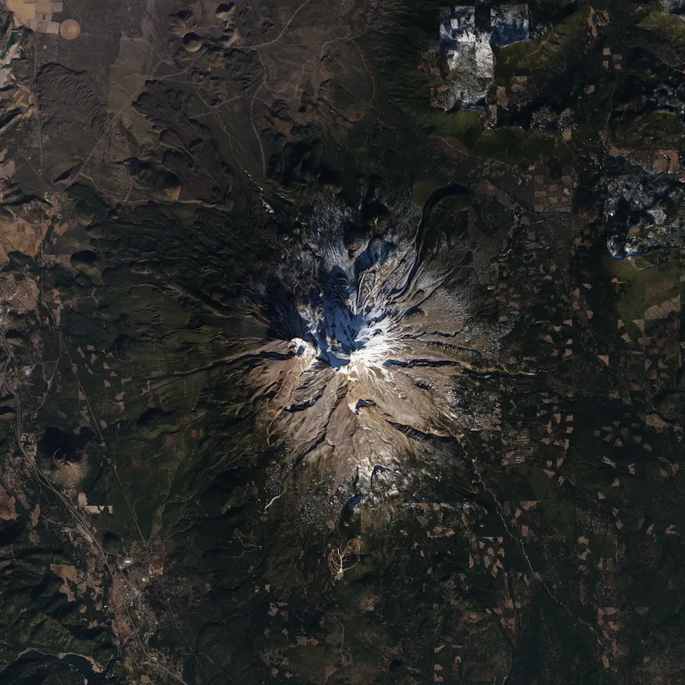
In fact, California's snowpack, or the snow that accumulates on mountaintops during the winter, is at less than one-third of its historical average, according to measurements from NASA's Airborne Snow Observatory reported this month.
Winter is usually California's wettest time of the year, but a high-pressure ridge offshore created a jet-stream pattern that sent Pacific storms heading for California north into the Pacific Northwest and Canada instead. The high-pressure system first appeared in December 2012 and lasted so long that meteorologists gave it a nickname: the Ridiculously Resilient Ridge.
Last year (2013) was California's driest on record, according to the National Weather Service.
Follow Jeanna Bryner on Twitter and Google+. Follow us @livescience, Facebook & Google+. Original article on Live Science.