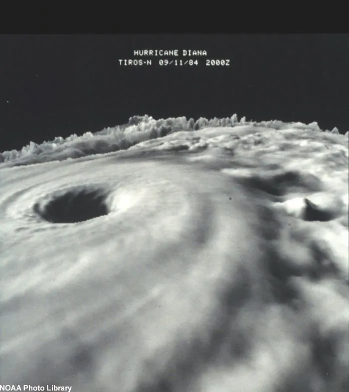
The subtle movement of air in the calm, sunny eye of a hurricane may actually help fuel the raging storm, NASA research finds.
Hurricanes are powered by the flow of warm, moist air above the ocean around the storm’s spiraling center. The incoming air is sent upward near the storm center and out from the top of the storm and transfers energy as the moisture in the air condenses.
Small pockets of swirling warm, humid air form between the placid conditions of the eye and the maelstrom of thunderstorms in the eyewall. These “vortices” were previously thought to be trivial in the complete picture of the hurricanes' flow, but they may be a key ingredient of the most intense storms, according to a new study detailed in the June issue of the Journal of Atmospheric Sciences.
Latest Videos From
The swirling air may help the formation of “hot towers,” deep, thick clouds that reach the top of the troposphere, the lowest layer of the atmosphere, which usually extends about 10 miles up in the tropics.
In new modeling of 1998’s Hurricane Bonnie, researchers found that these towers, which are much taller than the rest of the hurricane’s clouds, form as the winds spiraling into the eye collide with the small vortices and are shot upwards. These updrafts act like express elevators, accelerating the transfer of energy from the moist air, fueling the hurricane even faster.
“Our results improve understanding of the mechanisms that play significant roles in hurricane intensity,” said Scott Braun, a meteorologist at NASA’s Goddard Space Flight Center in Greenbelt, Md. “The spinning flow of air parcels—or vortices—in the eye can carry very warm, moist eye air into the eyewall that acts as a turbocharger for the hurricane heat engine.”
The extra power provided by the vortices and hot towers could explain why some hurricanes don’t lose intensity as quickly as expected when they encounter cooler ocean water. the vortices and hot towers provide an extra oomph to sustain the storm.
“This discovery may help explain why strong storms can remain intense for several hours or longer after encountering conditions that usually bring weakening,” said meteorologist Michael Montgomery of the U.S. Naval Postgraduate School in California.
While this research may help better explain hurricane intensity, many questions remain before more accurate predictions of intensity changes can be made.