El Niño conditions continue to sputter in the tropical Pacific Ocean, pushing back the odds of even a weak El Niño emerging this winter, forecasters said today (Nov. 6).
The National Climate Prediction Center now puts the chances of an El Niño at 58 percent, a sharp drop from the 80 percent chance forecasted in June.
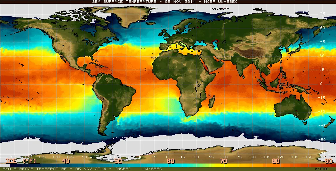
An El Niño forms when the warmest surface water in the equatorial Pacific drifts eastward, toward South America. The strong early forecast from the Climate Prediction Center (CPC) and other climate modelers came about thanks to an enormous blob of hotter-than-average water spotted in the central and eastern Pacific this spring. [Fishy Rain to Fire Whirlwinds: The World's Weirdest Weather]
Latest Videos From
However, it takes more than warm ocean temperatures to declare an El Niño. Weather experts also want to see the ocean and atmosphere lock in to the new regime, with more westerly low-level winds and an eastward shift in cloudiness and rainfall.
There have been a few bursts of westerly winds since June, but overall, the expected atmospheric pattern failed to take hold, like a car engine that revs but won't start. As a result, the likelihood of an El Niño has dropped month by month.
"Right now, only the ocean is passing the test," said Anthony Barnston, chief forecaster at Columbia University's International Research Institute for Climate and Society in New York. "The average sea surface temperatures are high enough to pass as a weak El Niño, but the atmospheric indicators are like neutral years."
Because El Niño events usually peak in December, there's not much time left for the atmosphere to fire up its winds and storms. "It's now or never," Barnston told Live Science. "The season is just about over."
If an El Niño does materialize in the next few weeks, it could last until March or April. Otherwise, if the phenomenon fails to appear, the pool of warm, tropical water will persist, making ocean conditions favorable for another try next summer. "The storehouse of heat sets the stage for a good possibility of an El Niño for the following year," Barnston said.
El Niño events typically occur every three to five years but can cycle over as much as two to seven years. Researchers aren't sure what triggers El Niño, a natural climate cycle that fiddles with storms, rainfall and drought worldwide.
Follow Becky Oskin @beckyoskin. Follow LiveScience @livescience, Facebook & Google+. Originally published on Live Science.