


Alien landing strips, missing islands and blood-red rivers: The world is full of strange and unusual sights — particularly if you're looking from 300-plus miles away.
Now an engineering company is trying to harness the power of the masses to get information on those mysterious images. The company, Draper, is hosting the Chronos Data Science contest for teams that find the best way to decode aerial imagery. The winning team will earn $40,000, while second- and third-place teams will earn $25,000 and $10,000, respectively. [14 Strangest Sights on Google Earth]
"This work will ultimately help analysts uncover trends related to climate change, natural disasters and public health crises," said Kim Slater, the leader of Draper's small satellite initiative. "Combining more frequent imagery with big data analytics will yield more actionable intelligence that enables better decision-making."
Flood of data
The project aims to address the flood of new data that will be coming from fleets of teensy satellites poised to take over the atmosphere. As these satellites capture more data, the task of analyzing it becomes ever more daunting. Having algorithms that can automatically detect changes and trends in different types of satellite imagery could be key in deciphering those mystery lines in the sea or identifying massive ant colonies from afar.
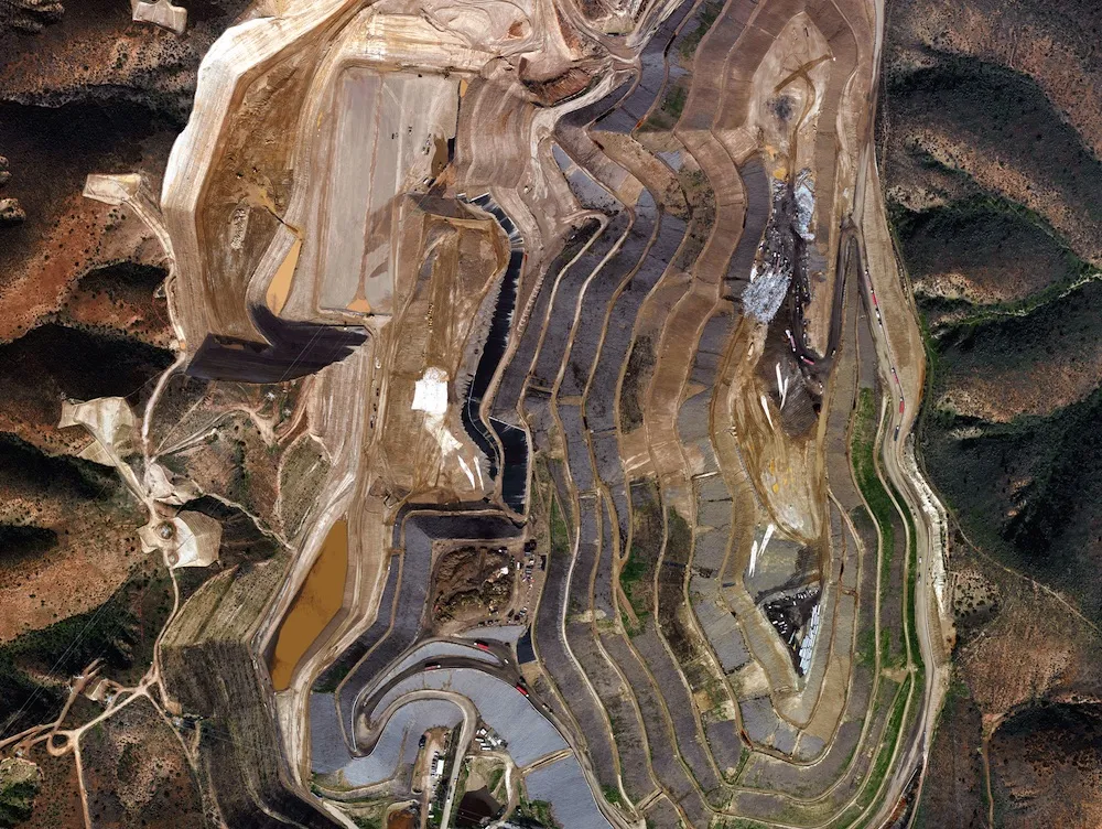
Toward that end, Draper is funding a contest that will help address one aspect of this problem: time. The challenge is to look at a dataset of five different pictures of the same locations over five days (these images are actually aerial images taken of regions in California). The competitors must then organize the pictures in the correct chronological order.
This type of temporal ordering could prove useful in a variety of applications, including tracking climate trends, identifying sources of potable water, preventing wildlife poaching, or even directing traffic more efficiently, according to the contest website.
The contest began on April 29 and is running until June 27.
Get the world’s most fascinating discoveries delivered straight to your inbox.
Follow Tia Ghose on Twitterand Google+. Follow Live Science @livescience, Facebook & Google+. Original article on Live Science.

Tia is the editor-in-chief (premium) and was formerly managing editor and senior writer for Live Science. Her work has appeared in Scientific American, Wired.com, Science News and other outlets. She holds a master's degree in bioengineering from the University of Washington, a graduate certificate in science writing from UC Santa Cruz and a bachelor's degree in mechanical engineering from the University of Texas at Austin. Tia was part of a team at the Milwaukee Journal Sentinel that published the Empty Cradles series on preterm births, which won multiple awards, including the 2012 Casey Medal for Meritorious Journalism.