On June 1, 2009, Air France Flight 447 set off from Rio de Janeiro en route to Paris. Partway over the Atlantic, the Airbus A330 encountered an area of intense thunderstorms and crashed into the ocean.
While the final report from France's air accident investigators, released earlier this year, cited human error and technical malfunctions of a set of the plane's sensors, the Air France incident underscored the difficulty pilots on transoceanic flights have of knowing where storms will be given the limitations of current systems for monitoring storms far out over the ocean. The crash was one of the factors that spurred researchers at the National Center for Atmospheric Research (NCAR) in Boulder, Colo., to develop a better system to forecast such storms and help planes avoid them.
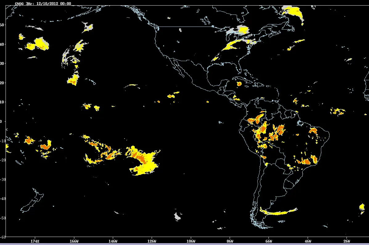
Thunderstorms are well-monitored over land areas, where radar can keep an eye on their sometimes- quick development. But there is no similar radar system over the ocean. Instead, pilots on transoceanic flights are briefed on the weather before they take off, but storms can arise quickly; if storms do arise, the pilots may get in-flight updates every four hours, but those briefings are based on satellite data, and those satellites cannot peer into clouds. They also have onboard radar, but it is limited in scope and cannot see through dense clouds.
Latest Videos From
The new prototype system, which NCAR developed with NASA, MIT, the Naval Research Laboratory and the University of Wisconsin, can provide up to eight-hour forecasts that are updated hourly. It uses satellite data and weather models and is based on a system NCAR developed to keep pilots and air traffic controllers informed about storm dangers, such as turbulence and lightning, over the continental United States, according to an NCAR statement.
"These new forecasts can help fill an important gap in our aviation system," said NCAR’s Cathy Kessinger, the lead researcher on the project, in the statement. "Pilots have had limited information about atmospheric conditions as they fly over the ocean, where conditions can be severe. By providing them with a picture of where significant storms will be during an eight-hour period, the system can contribute to both the safety and comfort of passengers on flights over the ocean."
Right now, pilots have to use the limited information at their disposal to decide whether to detour potential hundreds of miles around a storm system or fly into a potentially storm region, which could have hazardous conditions and turbulence. Turbulence is one of the leading causes of airline injuries, and the developers of the system are hoping that the forecasts can help pilots avoid it and make more informed flight decisions.
The system identifies areas in the atmosphere that have high cloud tops and water vapor at high elevations — signs of a strong updraft, which can create turbulence and is associated with strong storms. Researchers can use particular techniques to analyze that data along with simulations of wind fields to project storm locations at hourly intervals for up to eight hours in the future.
Tests forecasts were verified with observations from NASA's Tropical Rainfall Measuring Mission (TRMM) satellite.
This story was provided by OurAmazingPlanet, a sister site to LiveScience. Reach Andrea Thompson at athompson@techmedianetwork.com and follow her on Twitter @AndreaTOAP. Follow OurAmazingPlanet on Twitter @OAPlanet. We're also on Facebook and Google+.