


Subglacial Eruption Begins at Iceland's Bardarbunga Volcano (Updated)
One week after an earthquake swarm first warned of magma on the rise, a volcanic eruption has started near Iceland's Barðarbunga volcano, the Icelandic Met Office announced today (Aug. 23).
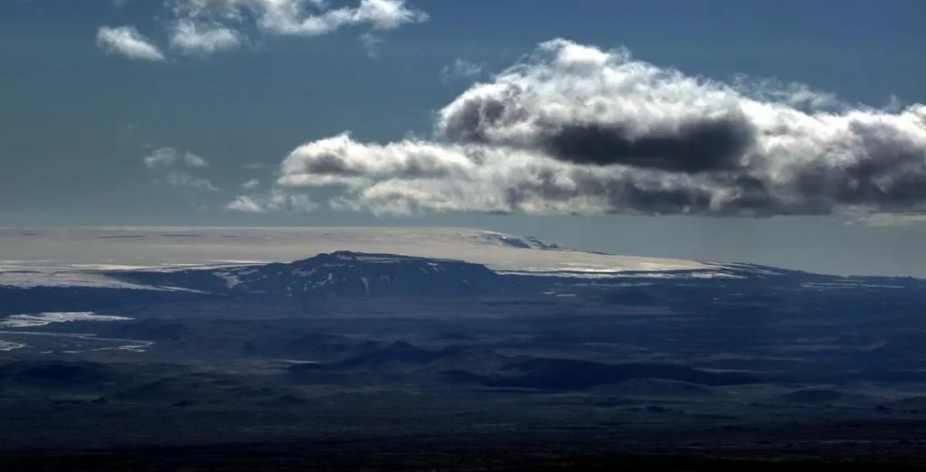
The small-scale eruption is taking place northeast of Barðarbunga, underneath the Dyngjujökull glacier. Scientists estimate 492 to 1,312 feet of ice (150 to 400 meters) covers the emerging lava, the Met Office said in a statement. Even though no one can see the eruption, seismic signals indicate that ice is flashing into steam. This suggests lava has broken through to the surface, beneath the glacier.
Update at 9:30 p.m. ET: Volcano experts in Iceland are not convinced that an eruption is underway. Earthquakes continue, including a magnitude-5.3 this evening, but the tremors that signaled steam blasts from lava have decreased, the Met Office said. Nor is meltwater draining from the glacier. "Presently there are no signs of ongoing volcanic activity," the Met Office said in an update. "The aviation color code for the Barðarbunga volcano remains red as an imminent eruption can not be excluded."
The surface of Dyngjujökull glacier looked undisturbed during a survey flight by the Iceland Coast Guard soon after the eruption started at 2:10 p.m. local time (10:10 a.m. ET). There was no ash or melting ice at the surface. Radar and web cams also show no changes at Dyngjujökull. [Gallery: Iceland's Booming Barðarbunga Volcano]
All of Iceland's airports remain open, though the airspace over the eruption site is closed. The red alert is the highest on the country's five-grade aviation alert scale.
The eruption is being closely monitored for ash. At present time, officials do not expect a repeat of 2010, when the Eyjafjallajökull volcano grounded all flights in Europe. Aviation rules were changed after the shutdown. For example, in 2011, Iceland's Grímsvötn volcano blasted through ice in southeast Iceland (not far from Barðarbunga) and blew ash 12 miles (20 km) high, yet only 1 percent of Europe's flights were cancelled.
A more immediate threat is the glacial meltwater. Earlier this week, officials closed roads and evacuated tourists north of Barðarbunga. While the remote area is sparsely settled, the melting glacier could flood popular tourist sites and Iceland's main road.
Get the world’s most fascinating discoveries delivered straight to your inbox.
Icelandic officials are monitoring the volcano with a dense network of earthquake sensors, radar and GPS stations. They're also watching water levels in the Jökulsá á Fjöllum river, the outlet for glacial meltwater. There are also three webcams. You can watch them here and here.
The equipment was set out after an intense earthquake swarm began Aug. 16, signaling magma rising underground. Since the swarm started, thousands of earthquakes rattled the volcano each day, with the center of earthquake activity slowly moving northeast through the week. The pattern suggests the magma was forming a long, thin sheet called a dyke.
This article will be updated if significant additional information becomes available.
Email Becky Oskin or follow her @beckyoskin. Follow us @livescience, Facebook & Google+. Original article on Live Science.
