Another Tropical Storm Could Hit Parts of Mexico and Texas This Week
A second, smaller tropical storm may make landfall in North America this week.

Get the world’s most fascinating discoveries delivered straight to your inbox.
You are now subscribed
Your newsletter sign-up was successful
Want to add more newsletters?
Join the club
Get full access to premium articles, exclusive features and a growing list of member rewards.
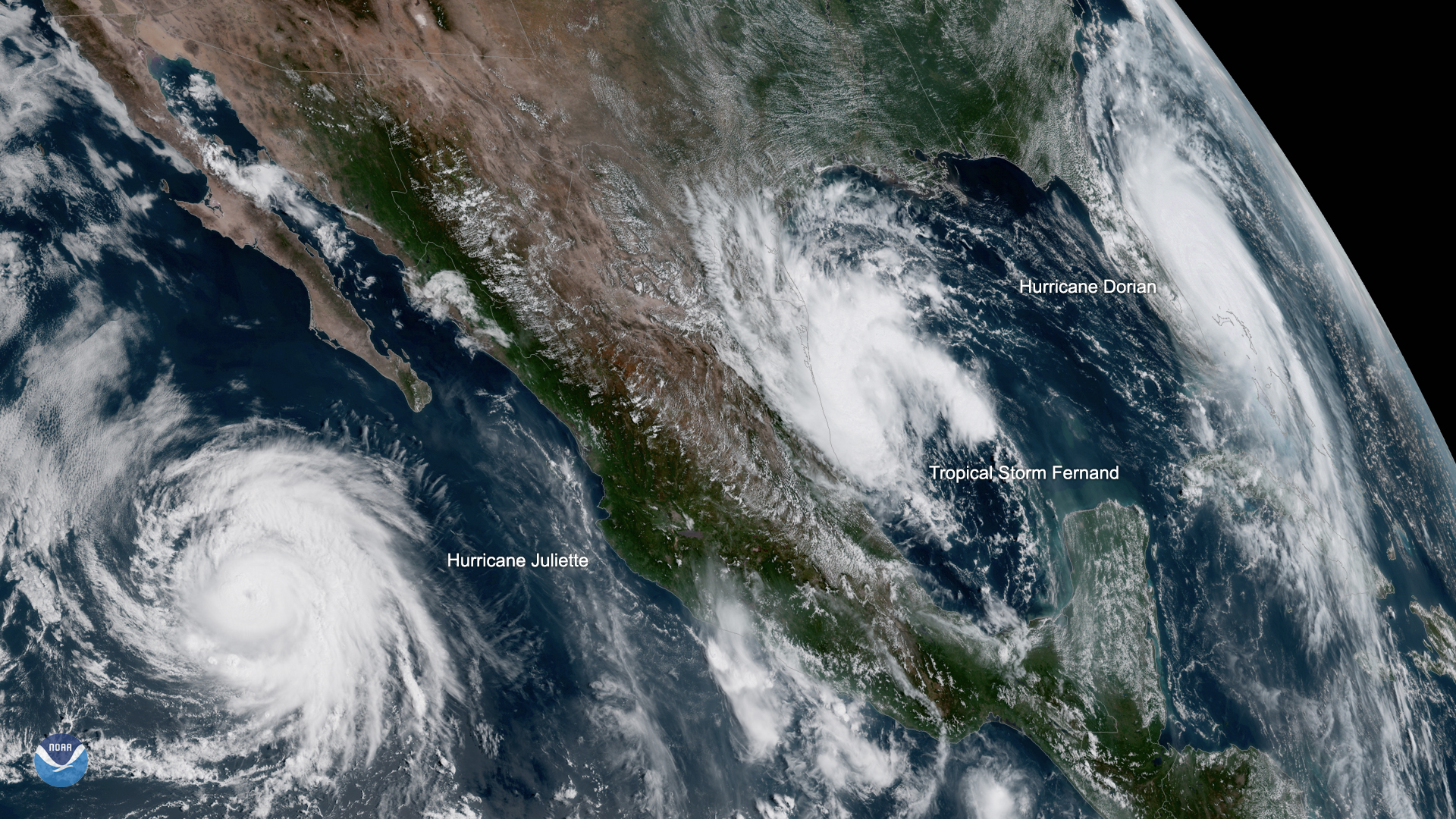
A second, smaller tropical storm may make landfall in North America this week, following Hurricane Dorian's devastation of the northwest Bahamas.
Tropical Storm Fernand formed in the Gulf of Mexico and has triggered tropical storm warnings across the northeast Mexican coastline, from Barra del Tordo to the mouth of the Rio Grande River at the far-southeastern point of Texas near Brownsville. According to an advisory today (Sept. 3) from the National Hurricane Center (NHC), Fernand should bring tropical storm conditions to the region late Wednesday (Sept. 4) or early Thursday (Sept. 5), with rainfall being the most serious threat. Parts of South Texas can also expect significant rain, the center reported. As of 1 pm EDT, Fernand was packing maximum sustained winds of 40 mph (65 km/h).
"Conditions appear conducive for gradual strengthening before the cyclone moves into Mexico. However, the broad and large nature of the circulation is likely to prevent rapid intensification before landfall," the NHC wrote in the advisory.
Article continues belowRelated: Hurricane Season 2019: How Long It Lasts and What to Expect
That doesn't mean Fernand isn't dangerous, according to the center.
"The primary threat from this system will be heavy rainfall that could produce flooding and mudslides, especially in the mountainous areas of Mexico," the update said.
If you're in the affected region, here's Live Science's explainer on how to prepare for the storm before it arrives.
Get the world’s most fascinating discoveries delivered straight to your inbox.
- Hurricanes from Above: Images of Nature's Biggest Storms
- Photos: Hurricane Michael Toppled Over Trees and Uprooted 19th Century Artifacts
- Inside Irma's Eye: Hurricane Hunters Capture Jaw-Dropping Photos
Originally published on Live Science.

 Live Science Plus


