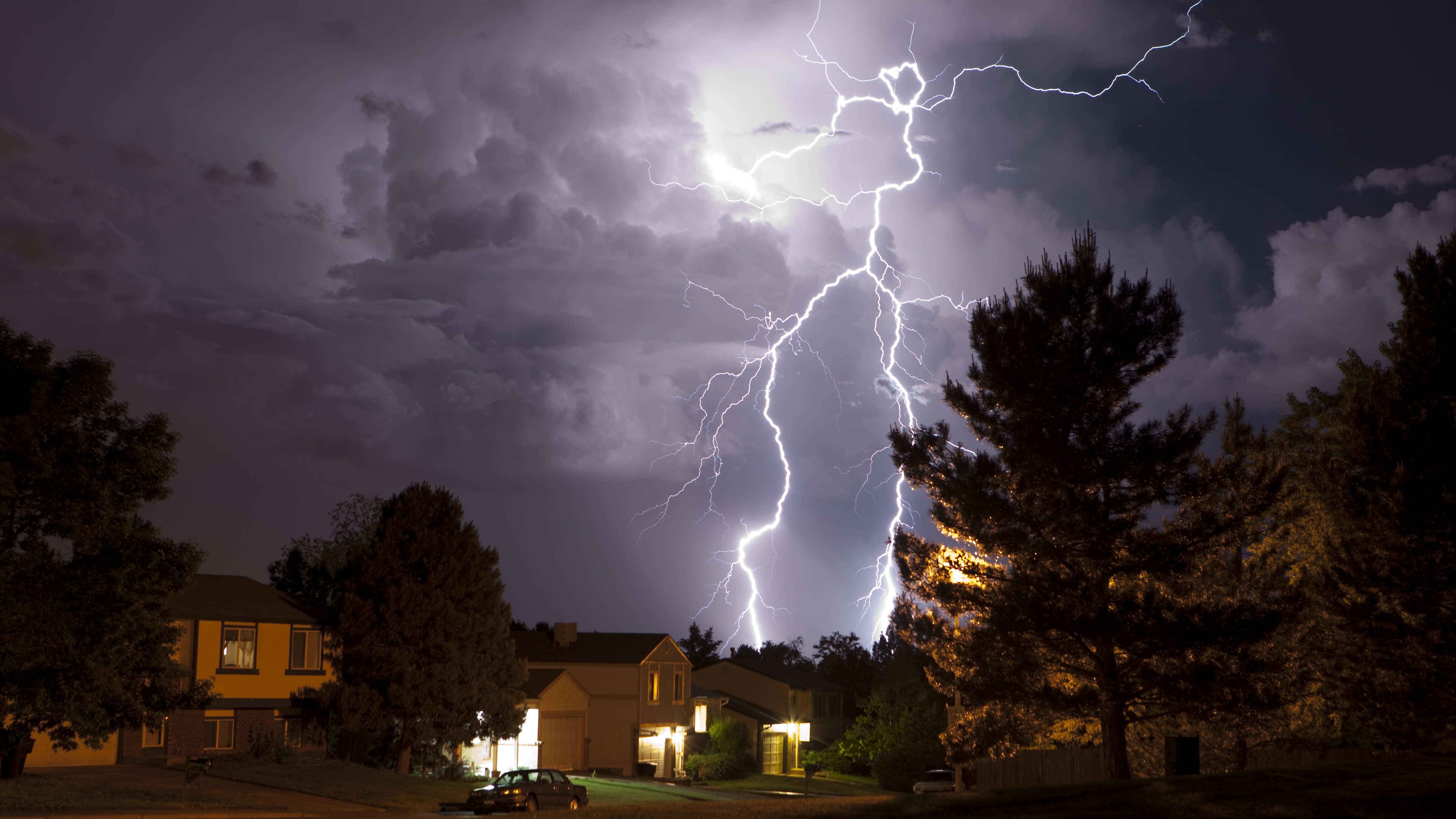
Thunderstorm 'Ring of fire' erupts around 'heat dome' and Tropical Storm Andrea named in the Atlantic
The "heat dome" hovering over the eastern half of the U.S. now has a thunderstorm "ring of fire" erupting along its edge. Meanwhile, in the Atlantic, the first tropical storm of the season has been named.

Get the world’s most fascinating discoveries delivered straight to your inbox.
You are now subscribed
Your newsletter sign-up was successful
Want to add more newsletters?
Join the club
Get full access to premium articles, exclusive features and a growing list of member rewards.
A thunderstorm "ring of fire" has erupted along the edge of the massive "heat dome" currently smothering much of the eastern half of the United States. And if that wasn't enough wild weather, the first named tropical storm of the season has also emerged — and already fizzled out — in the Atlantic.
The heat dome is being caused by an area of high pressure in the atmosphere that has trapped warm air beneath it, like a giant lid on a pot. The dome has been contributing to sweltering temperatures in the Central and Eastern U.S. since the end of last week, even raising temperatures in New York City to 100 degrees Fahrenheit (38 Celsius), a height not seen since 2013, The Associated Press reported.
Clouds have difficulty forming inside a heat dome, where most of the air is warm, but it's a different story on the dome's edges, where the air is cooler, according to AccuWeather. A chain of thunderstorms, or ring of fire, often rides the edge of a massive heat dome, and that's proven to be the case this time.
Article continues below"AccuWeather expert meteorologists are monitoring an arc of severe thunderstorms stretching 2,200 miles [3,500 kilometers] from northern Mexico to New England and southeastern Canada this week along the western and northern edges of the heat dome," representatives for AccuWeather wrote in a statement released Tuesday (June 24).
A "ring of fire" is what meteorologists call thunderstorms and heavy rain riding the rim of a high-pressure ridge, but given that this weather is marked by extensive rain that can produce flooding, the name is a little confusing. There's also a chain of volcanoes around the Pacific Ocean with the same name.
The heat dome is forecast to weaken in the second half of this week. However, the National Weather Service (NWS) has warned that "extremely dangerous" heat will nonetheless continue throughout that time, affecting areas from the Midwest to the East Coast. The heat won't completely subside by the weekend, either, but it will ease a bit in large parts of the eastern U.S., according to the NWS.
Get the world’s most fascinating discoveries delivered straight to your inbox.
Heat waves have become more common and intense with climate change. The frequency of atmospheric patterns linked to extreme summer weather, including heat domes and flooding, has nearly tripled since the 1950s, according to a study published June 16 in the journal PNAS.
Storm Andrea
While many U.S. states have been experiencing sweltering heat, the first named tropical storm of the season emerged in the Atlantic. Tropical Storm Andrea, also called Tropical Cyclone Andrea, formed in the middle of the Atlantic Ocean on Tuesday (June 24), but posed "no threat to land," according to the National Hurricane Center.
The storm sustained winds of more than 39 miles per hour (63 kilometers per hour), meeting the threshold to be a named tropical storm. However, the storm quickly weakened, The Associated Press reported.
Before dissipating, Andrea never grew strong enough to become a hurricane, which have maximum sustained wind speeds of at least 74 mph (119 km/h)
Researchers have found that the 2025 Atlantic hurricane season could be more severe than normal. The season, which runs from June 1 to Nov. 30, has a 60% chance of "above-normal" activity, according to the National Oceanic and Atmospheric Administration (NOAA). Climate models predict that hurricanes will become more intense as the planet warms up.

Patrick Pester is the trending news writer at Live Science. His work has appeared on other science websites, such as BBC Science Focus and Scientific American. Patrick retrained as a journalist after spending his early career working in zoos and wildlife conservation. He was awarded the Master's Excellence Scholarship to study at Cardiff University where he completed a master's degree in international journalism. He also has a second master's degree in biodiversity, evolution and conservation in action from Middlesex University London. When he isn't writing news, Patrick investigates the sale of human remains.
You must confirm your public display name before commenting
Please logout and then login again, you will then be prompted to enter your display name.
 Live Science Plus


