Tehran Is Sinking Dramatically, And It May Be Too Late to Recover

Get the world’s most fascinating discoveries delivered straight to your inbox.
You are now subscribed
Your newsletter sign-up was successful
Want to add more newsletters?

Delivered Daily
Daily Newsletter
Sign up for the latest discoveries, groundbreaking research and fascinating breakthroughs that impact you and the wider world direct to your inbox.

Once a week
Life's Little Mysteries
Feed your curiosity with an exclusive mystery every week, solved with science and delivered direct to your inbox before it's seen anywhere else.

Once a week
How It Works
Sign up to our free science & technology newsletter for your weekly fix of fascinating articles, quick quizzes, amazing images, and more

Delivered daily
Space.com Newsletter
Breaking space news, the latest updates on rocket launches, skywatching events and more!

Once a month
Watch This Space
Sign up to our monthly entertainment newsletter to keep up with all our coverage of the latest sci-fi and space movies, tv shows, games and books.

Once a week
Night Sky This Week
Discover this week's must-see night sky events, moon phases, and stunning astrophotos. Sign up for our skywatching newsletter and explore the universe with us!
Join the club
Get full access to premium articles, exclusive features and a growing list of member rewards.
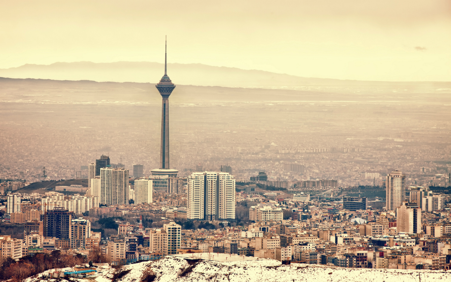
The ground is shifting under Iran's capital, Tehran, home to approximately 15 million people and the biggest city by population in western Asia. High-resolution satellite images recently revealed that in some places, the metropolis of the Middle East is sinking about 10 inches (25 centimeters) per year.
Scientists investigated satellite data of the capital city gathered from 2003 to 2017 and found significant sinking — also known as subsidence — in about 10 percent of the city center and in many villages in Tehran's northwestern region, according to an article published Nov. 30 in the journal Nature.
A side effect of the subsidence is the sudden appearance of giant cracks and sinkholes in some areas. In one case, a farmer was trapped for hours in a 20-foot-deep (6 meters) sinkhole after a crack opened where he was standing, Ali Beitollahi, head of engineering seismology at the Building and Housing Research Center in Tehran, told Nature. [Insane Photos of Sinkholes]
Fissures that formed near fields are also affecting crops, as they drain water meant to irrigate the thirsty land.
In this new study of satellite data, researchers found Tehran's current subsidence rate to be among the highest in the world, with groundwater loss driven by drought, dam construction and a booming population. Another troubling discovery was that rainfall wasn't replenishing depleted groundwater reserves, suggesting it may already be too late for the land to recover. The scientists' findings have been accepted for publication in the journal Remote Sensing of Environment, Nature reported.
Tehran isn't the only sinking city. Satellite observations have also shown that Venice, Italy; parts of western Texas and coastal Louisiana; California's San Joaquin Valley and San Francisco International Airport are victims of subsidence.
Prior research pointed to groundwater drainage as the cause of Tehran's sinking, which was already underway by the early 2000s. The first signs of sinking emerged under agricultural areas; since 2003 the problem has expanded to urban zones in the east, where the effects of Tehran's sinking ground is visible in skewed buildings and roads, according to Nature.
Get the world’s most fascinating discoveries delivered straight to your inbox.
Illegal well drilling is placing even more of a strain on dwindling groundwater, raising the risk of accelerating the sinking, the scientists found. Government officials are trying to crack down on illegal wells, but while 100,000 have been shut down, an estimated 30,000 remain.
Should the sinking continue, Tehran's railways, bridges, gas and oil pipelines, and electrical infrastructure could be at risk, the journal Nature reported.
25 Strangest Sights on Google Earth
10 Times Earth Revealed Its Weirdness in 2017
The Strangest Places on Earth (Photos)
Original article on Live Science.

Mindy Weisberger is a science journalist and author of "Rise of the Zombie Bugs: The Surprising Science of Parasitic Mind-Control" (Hopkins Press). She formerly edited for Scholastic and was a channel editor and senior writer for Live Science. She has reported on general science, covering climate change, paleontology, biology and space. Mindy studied film at Columbia University; prior to LS, she produced, wrote and directed media for the American Museum of Natural History in NYC. Her videos about dinosaurs, astrophysics, biodiversity and evolution appear in museums and science centers worldwide, earning awards such as the CINE Golden Eagle and the Communicator Award of Excellence. Her writing has also appeared in Scientific American, The Washington Post, How It Works Magazine and CNN.
 Live Science Plus


