

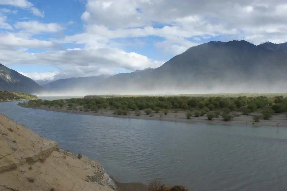
The Tsangpo Gorge in Tibet, one of the deepest canyons in the world, formed when tectonic forces pushed up the earth and steepened the path of a river that then caused massive erosion, a new study finds.
The discovery rewrites the geological history of the region, which some researchers thought was caused by massive river erosion that triggered tectonic uplift in the Eastern Himalaya.
"Our observation in the end is relatively simple," said Dirk Scherler, a geologist at the GFZ German Research Centre for Geosciences in Potsdam. He and his colleagues said they think an unknown event caused an increase in tectonic uplift rates about 3 million years ago. As the uplift became more pronounced, about 2.5 million years ago, it dammed the Yarlung Tsangpo River that runs through the region, preventing it from flowing down the mountains. [Infographic: How Tectonics Shaped Yarlung Tsangpo Gorge]
"So the river either turns into a lake and gives up, or if it's carrying enough sediment, it can fill in that [area] and keep spilling over the edge," said Kelin Whipple, a professor of geomorphology at Arizona State University, who was not involved in the study.
Once the river dropped enough sediment and made it over the natural dam, it quickly flowed down the mountain. At that point, the mountain was steeper because of the increased tectonic uplift, causing the river to run faster and leading to vast erosion in the gorge, the researchers said.

Yet, the research team needed evidence of the ancient sediment to support their idea. The year before, civil engineers from the China Earthquake Administration had gathered core samples after drilling at five locations along the Yarlung Tsangpo River. One researcher visited the California Institute of Technology in Pasadena, and shared the core samples with Scherler, who was completing his postdoctoral research in geology.
Scherler and his colleagues examined the drill-core samples — some retrieved from up to 0.6 miles (1 kilometer) deep — to see whether the area in question had a sediment deposit. "And sure enough, there was," said Whipple, who wrote an opinion piece, published today (Nov. 20), about the study for the journal Science. "And they show it very nicely in their study."
The core samples contained sand, rounded gravel and larger rocks cemented together, a mix indicative of sediment from a flowing river, the researchers said. About 2,600 feet (800 meters) below the surface, the samples contained bedrock, showing that the sediment had filled an ancient canyon.
The researchers studied the sediments at the bottom of the core samples — the earliest sediment layers — and measured two isotopes: beryllium-10 and aluminum-26. These isotopes are made when sediment is exposed to cosmic rays, high-energy radiation from space. The isotopes decay at different rates once the sediment is buried, and the river began dropping sediment about 2.5 million years ago, the researchers said.
Different ideas
Until now, many researchers viewed part of the Tsangpo Gorge, called the Namche Barwa massif, as a poster child of how rivers may influence tectonics.
Perhaps the Yarlung Tsangpo River collided with the Brahmaputra River, which are now connected, the model suggested. The collision may have diverted the Yarlung Tsangpo River, and caused it to cut down the mountain, quickly eroding it.
As the rock eroded, it would have become lighter, making it easier for the tectonic forces below to push the rock up in a so-called "tectonic aneurysm," which would have made the mountains steeper, Whipple said.
"In response to that very rapid erosion, you're thinning and weakening the crust as it's getting hotter in response to the erosion, bringing hot rocks closer to the surface," Whipple said. "And that induces a response where the rocks actually start flowing toward that spot, and cause a bunch of uplift."
Another idea suggests that glaciers interacting with the Yarlung Tsangpo River cut out the gorge during the various ice ages, Scherler said.
It's still possible that a tectonic aneurysm took place in the gorge before the unexplained uplift, but not 2.5 million years ago, the researchers said.
"Here, erosion has not triggered tectonics, but the river has responded to the tectonics," Scherler said.
The new study was published today (Nov. 20) in the journal Science.
Follow Laura Geggel on Twitter @LauraGeggel. Follow Live Science @livescience, Facebook & Google+. Original article on Live Science.

