The western United States has suffered a crippling drought for the past three years, but researchers now have a fuller picture of the extent of damage, thanks to a new way to measure how much water has been lost.
Using existing GPS measurements of ground uplift in the western U.S. from 2003 to 2014, researchers found that the land surface has risen approximately 0.15 inches (4 millimeters), and as much as 0.6 inches (15 mm) in California's mountains.
The total water loss across the region is about 240 gigatons, which is equivalent to the amount of mass the Greenland Ice Sheet loses every year, according to the study detailed today (Aug. 21) in the journal Science. [Photos: The 10 Driest Places on Earth]
Latest Videos From
"Water measures are missing an overall picture of how much water is in the system," said study co-author Adrian Borsa, a geophysicist at the Scripps Institution of Oceanography at the University of California, San Diego, in La Jolla.
Hydrologists can measure precipitation and the amount of surface water in streams and reservoirs, but measures of ground water are few and far between, Borsa told Live Science. "What's going on in aquifers is completely unknown."
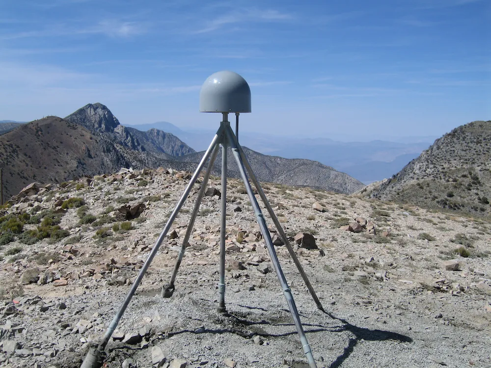
To remedy the situation, Borsa and his colleagues set out to repurpose existing data from the Plate Boundary Observatory, a network of GPS stations throughout the western U.S. that were built to measure the movement of tectonic plates. The team realized that the same measurements could be used to determine how much water is in the ground, as a gauge of drought.
Water trapped in the ground pushes down on soil, but when water near the surface evaporates, the ground springs upward. "It's the same as if you had a block of rubber and you pushed down on it with your finger," Borsa said. "If you take your finger off, it comes back up." However, the movements of the ground are very subtle, so they are only visible with GPS.
The monitoring stations can measure both vertical and horizontal motion, but the vertical motion is what corresponds to the amount of water locked in the ground. Earthquakes primarily cause horizontal movements, unless they are very large, but the western United States did not experience a major quake during the decade studied, Borsa said. Volcanic activity, such as the Yellowstone hotspot (a volcanic region above a superheated patch of Earth's crust that feeds volcanoes in Oregon, Nevada, Idaho and Wyoming) can also cause vertical motion, so the researchers removed those regions from their data.
The GPS measurements show that the crust in California was actually subsiding in 2011, but started to rise in 2013, coinciding with the recent California drought. Over the 10 years studied, "what we're seeing now is unprecedented," Borsa said.
The data also show that Texas has experienced the same magnitude of drought as California, but over a much smaller area. Upstate New York has suffered a drought as well, while North Dakota and South Dakota have experienced a very wet spell.
The researchers made adjustments for seasonal changes in the uplift due to snow cover in winter and increased soil evaporation in summer. The team also threw out data from parts of California's Central Valley, where farmers are pumping out a large amount of ground water for agriculture. "What's left is a clear signal of what's going on," Borsa said.
In the future, these measurements could be a critical tool for assessing drought, researchers said. "We're hoping one of the local California water agencies picks up on this and sees it as relevant tool, and we would provide these data to them," Borsa said.
GPS measures of drought could be used not only in the U.S., but also around the world, especially in places where other water-monitoring infrastructure doesn't exist, Borsa said.
Follow Tanya Lewis on Twitter and Google+. Follow us @livescience, Facebook & Google+. Original article on Live Science.

 Live Science Plus