
 Live Science Plus


Satellites Spy Thousands of Ancient Human Settlements

Ancient humans have changed the landscape around their settlements in such ways that even today archaeologists can distinguish between "lived in" spots and those never occupied by humans.
Now, two scientists have figured out a more efficient way of locating these sites, via their footprints, from space.
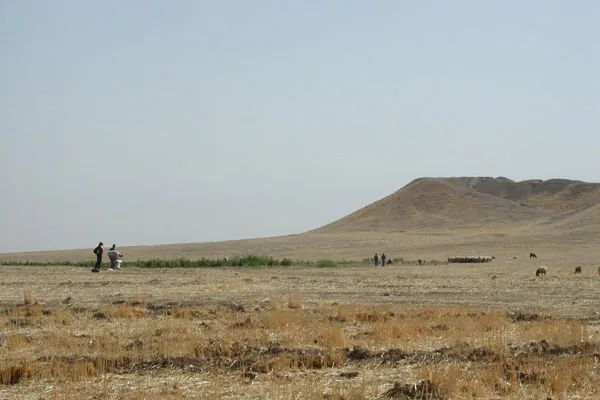
The scientists relied on two distinct features of ancient settlements in the Near East: soils altered by human activity and little hills that formed over time as residents successively built on top of older structures. By examining satellite images for these two features, they have found evidence of about 9,500 possible human settlements across an area of 8,880 square miles (23,000 square kilometers) in northern Mesopotamia, located in the northeast of modern Syria.

Data recorded by satellites as they orbit the Earth has been used in archaeological surveys before.
However, this new survey, produced by looking at soil and mounds, is "to the best of our knowledge, the largest systematic satellite-imagery-based survey in archaeology," they write in a study published March 19 in the journal Proceedings of the National Academy of Sciences.
Clustered settlements built on artificial mounds appeared along this northern edge of the Fertile Crescent around 7000 B.C. Buildings were made of mud brick, with new buildings constructed on top of the remains of older ones. As a result, the settlements grew upward from the alluvial plains for hundreds or thousands of years, so long as they were occupied, according to the researchers. Large mounds are called Tells.
So far, mounds left by ancient settlements in the Near East have received little attention, according to Bjoern Menze, a research affiliate in MIT's Computer Science and Artificial Intelligence Laboratory and Jason Ur, an associate professor of anthropology at Harvard University. But the mounds are key to the technique they devised. [Aerial Photos Reveal Mysterious Stone Structures]
Soil provides the other defining feature of ancient settlements. Soils at these sites are lighter, finer and composed of more organic material than the surrounding soils, according to Menze and Ur. They first used a computer algorithm to look for these changes. As a result, they found more than 14,000 potential sites.
When they looked at the volume of the settlement site — reflected by the size of the mound — about 9,500 sites had a significant elevation above the ground. The researchers interpreted the size of a mound as evidence of how attractive it was as a settlement site, with larger mounds being able to attract and sustain residents for a longer time.
Using this approach to look at large areas all at once, it may be possible to explore how environmental factors — like water availability — influenced ancient human settlements in the Near East, they write.
You can follow LiveScience senior writer Wynne Parry on Twitter @Wynne_Parry. Follow LiveScience for the latest in science news and discoveries on Twitter @livescience and on Facebook.
