


Sandy: Beauty of the Beast

As with many hurricanes, the ugly truth on the ground is belies the beauty they take on when seen from space or hurricane hunter airplanes. This picture of Hurricane Sandy from the NOAA's GOES-13 satellite captured the massive storm Oct. 28, 2012 at 1302 UTC (9:02 a.m. EDT). The line of clouds from the Gulf of Mexico north are associated with the cold front that Sandy was merging with at the time. Sandy's western cloud edge is already over the Mid-Atlantic and northeastern U.S.
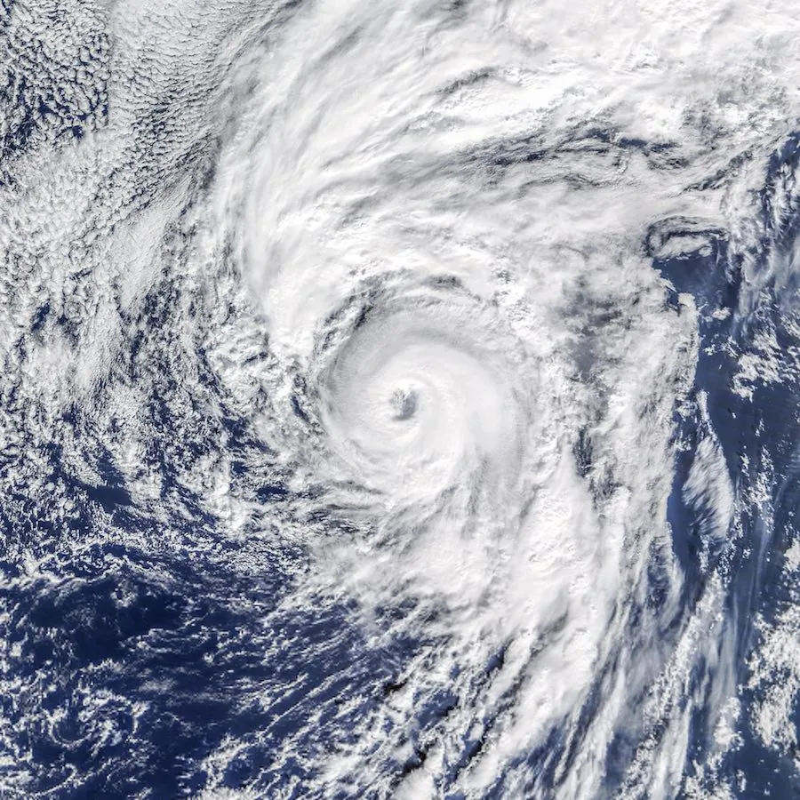
Freak of Nature
In 2016, for the first time since 1938, a hurricane formed in the Atlantic in January. Hurricane Alex, with its eye clouded over in this image, whirls near the Azores islands at at 11 a.m. local time (13:00 Universal Time) on Jan. 14, 2016.
Back in the Day

We haven’t always had amazing images of hurricanes from space like we do nowadays. This reconstructed image of Hurricane Diana was one of the earliest three dimensional images of a hurricane made from data obtained from a satellite. The data was collected Sept. 11, 1984, by the TIROS-N satellite, as Diana was strengthening from a Category 3 storm to Category 4 status.

Into the Eye

A look into the eye of the storm from space was provided by astronaut Edward M. (Mike) Fincke as Hurricane Ivan approached landfall on the central Gulf coast (22:02:35 GMT, Sept. 15, 2004).
Fly into the Eye!?

Yeah, so people actually do this! The National Weather Service sends hurricane hunters out to fly through the storms to get more detailed data than can be collected otherwise. Here, a NOAA P-3 flies inside the eye of Hurricane Caroline.
In the Eye!

This picture from a hurricane hunter plane shows the eyewall of a hurricane from inside the eye. While the eye of a hurricane is typically very calm and nearly windless, the eyewall is the fiercest part of the story, where winds are strongest.
An Astronaut's View

Astronaut Ed Lu snapped this photo of the eye of Hurricane Isabel from the International Space Station on September 13, 2003 at 11:18 UTC. At the time, Isabel was located about 450 miles northeast of Puerto Rico. It had dropped to a Category 4 hurricane on the Saffir-Simpson Hurricane Scale, packing winds of 150 miles per hour with gusts up to 184 miles per hour. This photo shows the structure of Isabel's eyewall. What makes this photo unique is because no other sensor images the eyewalls of hurricane with such detail.
Get the world’s most fascinating discoveries delivered straight to your inbox.
The Whole Shebang

Hurricane Elena, with wind speeds in excess of 110 miles per hour (177 kilometers per hour), was photographed in the Gulf of Mexico on Sept. 1, 1985. Almost the entire storm can be seen in this high-oblique photograph. Check out the thunderstorms with their overshooting tops, embedded in the spiral bands that lead back to the eye of the hurricane. Some portions of the eye wall, where the most destructive winds of the storm occur, are also visible. This storm eventually made landfall near Gulfport, Mississippi.
So Calm From Up Here

Astronauts onboard the International Space Station photographed Hurricane Fabian on September 4, 2003 as it churned its way towards Bermuda. At the time the photo was taken, Fabian had maximum sustained winds of 120 mph and was moving to the north-northwest at 12 mph.
Just Barely a Storm, But Wow!

The crew of the International Space Station had a great seat from which to observe tropical storm Claudette, as it became a Category I hurricane. The storm came ashore with high winds up to 80 miles per hour and heavy rains that also drenched their Houston home base and the Coastal Bend of Texas. This digital image was recorded at 13:26:36 GMT, July 15, 2003. The view looks north from the coast near Brownsville at the Texas-Mexico border.
Hey, What's That Down There?

This image features the eye of Hurricane Ivan at center, partially framed by solar array panels on the International Space Station. One of the strongest hurricanes on record, Ivan was photographed on September 11, 2004 from an altitude of about 230 miles by Astronaut Edward M. (Mike) Fincke, NASA ISS science officer and flight engineer, aboard the orbital outpost. At the time, Ivan was in the western Caribbean Sea and reported to have winds of 160 mph.
