


In Images: Hurricane Season 2012
Tropical Storm Alberto
This image of Tropical Storm Alberto was taken by the Moderate Resolution Imaging Spectroradiometer (MODIS) on NASA's Terra satellite on May 19.
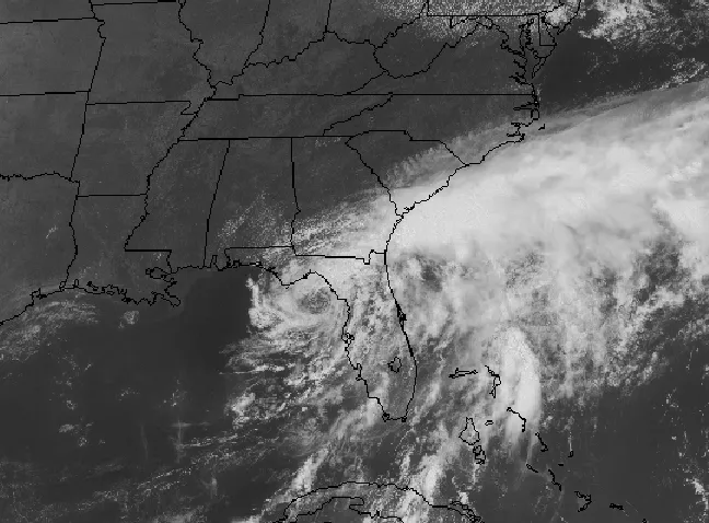
Tropical Depression Beryl

Tropial Depression Beryl was imaged by NASA's Terra satellite after it made landfall over Florida on Monday, May 28, 2012.
Hurricane Chris

This image of Hurricane Chris, the first hurricane of the 2012 season, was captured by NOAA's GOES-13 satellite on June 21when Chris was over the North Atlantic Ocean.

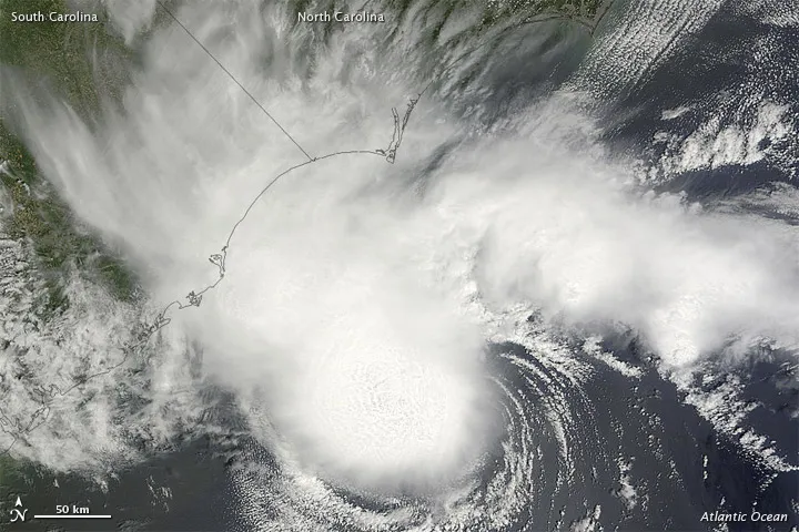
Tropical Storm Debby
A satellite image from June 26 shows Tropical Storm Debby parked over Florida. The storm is deluging the state with rain.
Hurricane Ernesto Landfall

NASA's Terra satellite captured this image of Hurricane Ernesto just before it made landfall over the Yucatan Peninsula on the night of Aug. 7, 2012.
Tropical Storm Florence

This visible image of the remnants of post-tropical storm Florence was captured from NOAA's GOES-13 satellite on August 7, 2012 at 1445 UTC (10:45 a.m. EDT).
Tropical Storm Gordon

Tropical Storm Gordon captured by the Moderate Resolution Imaging Spectroradiometer instrument onboard NASA's Terra satellite on Aug. 20 at 8:20 a.m. EDT, before it transitioned into a post-tropical storm.
Get the world’s most fascinating discoveries delivered straight to your inbox.
Hurricane Isaac
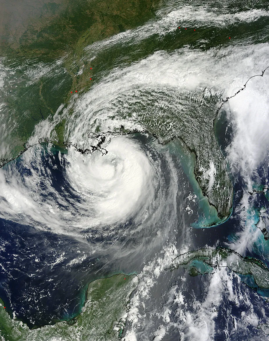
The MODIS instrument on NASA's Terra satellite captured this visible image of Hurricane Isaac as it approached Louisiana on Aug. 28 at 12:30 p.m. EDT.
Tropical Storm Joyce

An infrared/visible satellite image of Tropical Storm Joyce, captured around 9 a.m. ET, Aug. 23.
Tropical Storm Kirk (Atlantic Ocean)

On Aug. 29, 2012 the AIRS instrument on Aqua captured infrared data on Tropical Storm Kirk's clouds. Cloud top temperatures were colder (purple) than
Hurricane Leslie

Hurricane Leslie swirls over the Atlantic Ocean in this GOES-13 satellite image taken at 2:45 p.m. EDT on Sept. 5, 2012, just after it became a hurricane.
