Bad Omen: How Full Moon Could Worsen Winter Storm Jonas

Get the world’s most fascinating discoveries delivered straight to your inbox.
You are now subscribed
Your newsletter sign-up was successful
Want to add more newsletters?

Delivered Daily
Daily Newsletter
Sign up for the latest discoveries, groundbreaking research and fascinating breakthroughs that impact you and the wider world direct to your inbox.

Once a week
Life's Little Mysteries
Feed your curiosity with an exclusive mystery every week, solved with science and delivered direct to your inbox before it's seen anywhere else.

Once a week
How It Works
Sign up to our free science & technology newsletter for your weekly fix of fascinating articles, quick quizzes, amazing images, and more

Delivered daily
Space.com Newsletter
Breaking space news, the latest updates on rocket launches, skywatching events and more!

Once a month
Watch This Space
Sign up to our monthly entertainment newsletter to keep up with all our coverage of the latest sci-fi and space movies, tv shows, games and books.

Once a week
Night Sky This Week
Discover this week's must-see night sky events, moon phases, and stunning astrophotos. Sign up for our skywatching newsletter and explore the universe with us!
Join the club
Get full access to premium articles, exclusive features and a growing list of member rewards.
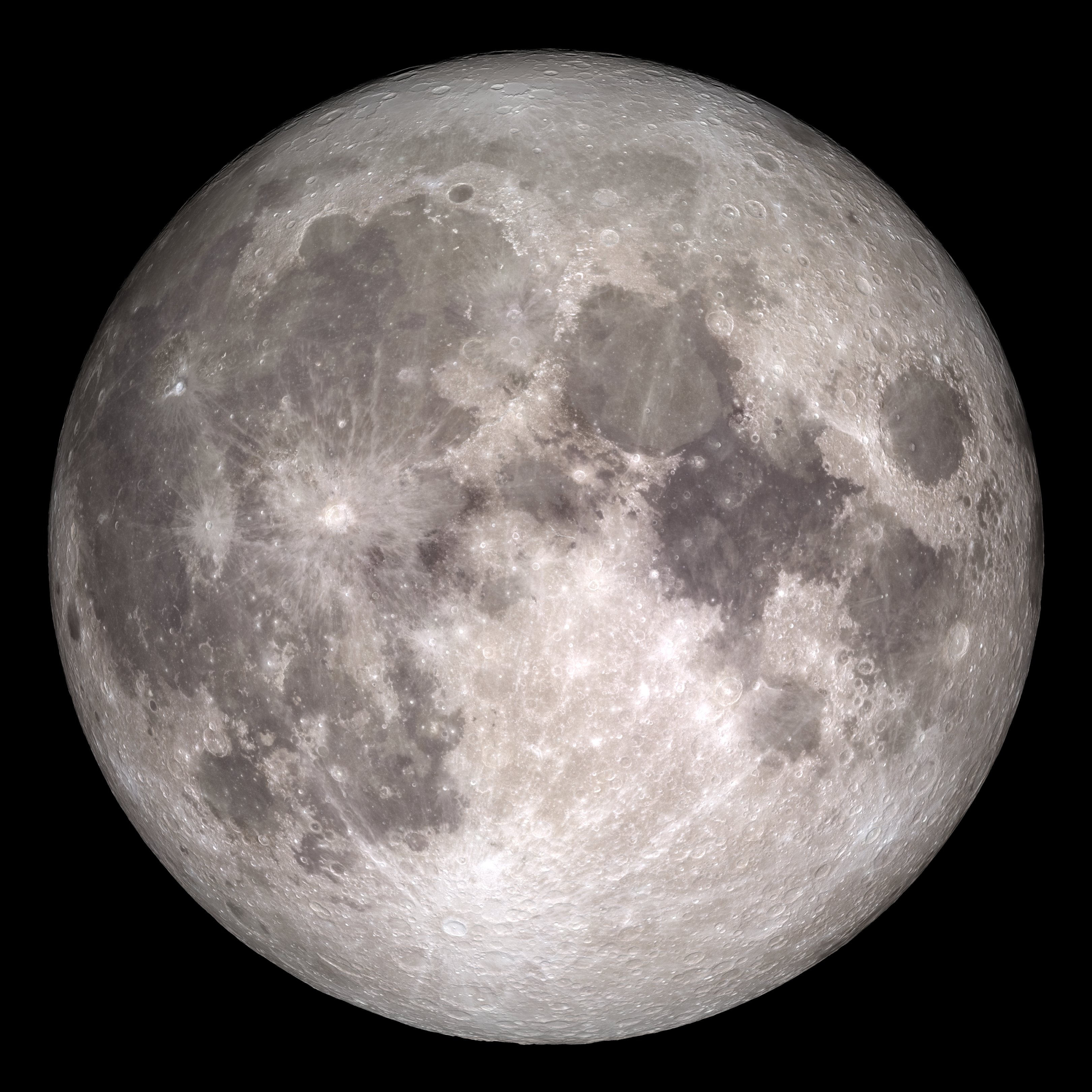
The first full moon of January will rise this weekend, coinciding with a massive winter storm that is expected to wallop parts of the U.S. East Coast with snow and ice. Full moons can incite a whole host of fears and superstitions, but tomorrow's full moon will have one real effect: It will bring with it high tides that could exacerbate the impending blizzard.
The moon is expected to be full tomorrow (Jan. 23) at 8:46 p.m. ET, according to NASA, resulting in higher-than-normal coastal tides. These conditions, combined with winds gusting at 40 to 50 miles per hour (64 to 80 km/h) from this weekend's winter storm (dubbed Jonas), could cause some coastal flooding.
A full moon occurs when the Earth, sun and moon form one straight line, with the Earth in between, so that the moon is fully illuminated by the sun. When this happens, the moon's gravitational pull on the Earth's tides increase, because the gravity of the sun reinforces the moon's gravity. As a result, during the full moon, the high tides are higher and low tides are lower than at other times in the month. These high tides are known as astronomically high tides and can be about 5.5 feet (1.7 meters) tall, according to Patrick Maloit, a meteorologist at the National Weather Service (NWS) office in New York.
This weekend's winter storm, however, adds an unexpected element to the tidal outlook. [Winter Storm Photos: Watch Jonas Wallop the Eastern US]
"The winds from the nor'easter are going to add a surge of roughly 2 to 3 feet [0.6 to 0.9 m] to the normal tidal departures," Maloit told Live Science.
Although high tides (including higher-than-normal tides during a full moon) don't normally cause any harm, the combination of the astronomical tides with blustering winds along the Delaware and New Jersey coasts could increase the potential for flooding and destruction in these areas. In fact, forecasts also indicate that this weekend's storm could produce significant precipitation, according to the National Weather Service, which could in turn increase the amount of flooding.
Blizzard warnings are in effect for much of the East Coast, from Washington, D.C., to Long Island, New York. Winter storm warnings are also in effect for states from the lower Mississippi Valley to the mid-Atlantic, according to an update issued at 10 a.m. ET this morning from the National Weather Service's Weather Prediction Center.
Get the world’s most fascinating discoveries delivered straight to your inbox.
More than 2 feet (0.6 m) of snow could fall across the central Appalachian region and the mid-Atlantic, including in Washington, D.C. and Baltimore, according to the NWS. From eastern Kentucky to New Jersey, between 1 to 2 feet (0.3 to 0.6 m) of snow is possible, according to the latest update.
Fortunately, though, the winter storm and high tides will not perfectly overlap. Winter storm Jonas is expected to be at its worst tomorrow during the time between the two high tides. But, there will still be some minor to moderate coastal flooding, especially in the New York harbor area, Maloit said.
"The most important thing is to be aware," Maloit said. "And if you encounter a flooded road, don't drive into it because you don't know how deep the water is."
Detailed regional weather advisories and forecaster discussions can be found at http://www.weather.gov/.
Follow Knvul Sheikh on Twitter @KnvulS. Follow Live Science @livescience, Facebook & Google+. Original article on Live Science.
 Live Science Plus


