
 Live Science Plus


Winter Storm Photos: Watch Jonas Wallop the Eastern US
A monster winter storm that could pound some mid-Atlantic states with upwards of 2 feet of snow or more and blizzard conditions. Eyes on the ground and above are capturing the immense size and intensity of the storm. Here's a look at those images.
Moving in

On Jan. 20 at 2:30 p.m. EST, the NASA-NOAA Suomi NPP satellite captured this view of the massive winter storm. The satellite image shows the immensity of the storm, which stretches from northern Texas into the Great Lakes states. The low-pressure system behind the storm originated in the Eastern Pacific and is expected to deliver "crippling" conditions, according to the National Weather Service. (Photo Credit: NASA/NOAA GOES Project)
Developing storm

NOAA's GOES-West satellite captured this photo of the winter storm on Jan. 21, 2016, at 10 a.m. EST, near the Gulf Coast. Another storm can be seen swirling over the Pacific Ocean as well. (Photo Credit: NASA/NOAA GOES Project)
Fast fall

This satellite image, captured on Jan. 22, at 8:29 EST, reveals the rate of falling precipitation. The GPM core satellite showed the snow and other precipitation was falling at a rate of about 2.5 inches (64 millimeters) per hour over northern Alabama. (Credits: SSAI/NASA/JAXA, Hal Pierce)
Get the world’s most fascinating discoveries delivered straight to your inbox.
High cloud tops

Another look at the precipitation falling over Alabama and nearby areas on Jan. 22, at 8:29 a.m. EST. Radar from GPM's Dual-frequency Precipitation Radar (DPR) instruments revealed the vertical structure of the storm tops, some of which were almost 4.3 miles (7 kilometers) high along the Appalachians in eastern Tennessee and Kentucky, according to NASA. The higher the cloud tops the stronger the storm in general, according to NASA. (Credits: SSAI/NASA/JAXA, Hal Pierce)
Storm is a go

NOAA's GOES-East satellite captured this visible image of the winter storm at 1:30 p.m. EST on Jan. 22, revealing the storm has begun to wreak havoc on the U.S. East Coast. The GOES, or Geostationary Operational Environmental Satellites, are in geosynchronous orbit 22,300 miles (35,800 km) above the equator and so they "see" our planet from the same place all the time. That allows the satellite team to monitor how one spot on Earth's surface changes over time. (Photo Credit: NASA/NOAA GOES Project)
Sparkly view

The Suomi NPP satellite, run by NASA and NOAA, captured this sparkling image of the coming blizzard on Jan. 22. The Suomi National Polar-orbiting Partnership satellite, named for meteorologist Verner E. Suomi who is considered "the father of meteorology," was launched on Oct. 28, 2011 with the goal of observing Earth. It orbits the planet some 14 times a day, sending back spectacular views of nearly the entire surface of the planet. The Visible Infrared Imaging Radiometer Suite (VIIRS) instrument's Day-Night band was used to capture this storm image. (Credit: NOAA/NASA)
snOMG!
Beautiful flakes

Tracy Lewis captured beautiful images of snowflakes from the winter storm on Jan. 22, in Morgantown, West Virginia. "We have about 5 inches or so on the ground right now, but it's really coming down," Lewis told Live Science Friday evening. "I think our storm total will be anywhere from 13 inches to 20 inches. All our roads are covered even though the snowplows keep coming through, it's coming down too fast to really make a difference." (Photo Credit: Tracy Lewis)
Unique?

More delicate snowflakes from the monster winter storm hitting the U.S. East Coast on Jan. 22. Are snowflakes like these seen in Morgantown, West Virginia, really unique? Here's why no two are alike. (Photo Credit: Tracy Lewis)
Cold but gorgeous

The snow is really falling Friday evening (Jan. 22) in Morgantown, West Virginia. "Walking around at night during Winter Storm Jonas. It was too cold and the wind was too strong to stay out very long, but it's beautiful out there," Lewis wrote on her Flickr page. (Photo Credit: Tracy Lewis)
Snow globe

The Pittsburgh Cathedral of Learning in all its glory as snow falls on Jan. 22. (Photo Credit: Jeff Ahearn, JPA Photographs)
Pretty in red

A.J. Wells captured this shot of a male Northern Cardinal perched on a branch during the winter storm dubbed Jonas on Jan. 22 in northern Lexington, Kentucky. (Photo Credit: A.J. Wells, Wells-Photo)
What a cutie

An American Goldfinch perched on a branch during the winter storm that hit the East Coast, captured by A.J. Wells on Jan. 22 in northern Lexington, Kentucky.
How difficult was it to snap such gorgeous shots of snowy birds? "The hardest part was capturing the birds in focus due to the blowing snow," Wells told Live Science. "The wind was continually moving the birds while they were perched and the snow played tricks on the camera's autofocus system." (Photo Credit: A.J. Wells, Wells-Photo)
Strike a pose

A European Starling looks striking perched on a branch as the winter storm blows through northern Lexington, Kentucky, on Jan. 22. (Photo Credit: A.J. Wells, Wells-Photo)
Storm from space
Snowmageddon
Massive low-pressure system

NASA-NOAA's Suomi NPP satellite snapped a pic of the enormous storm pummeling the U.S. East Coast on Jan. 23, as it passed over the low-pressure system at 1:55 p.m. EST. The low-pressure area stretched from New England south to Florida. (Photo Credit: NASA/NOAA/Goddard Rapid Response Team)
Squeee!
More fun in the snow
Clean-up time
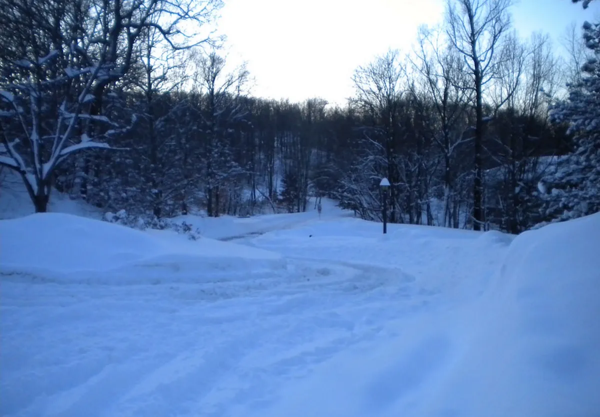
Jonas dumped quite a bit of snow on Reading, Pennsylvania, seen in this image taken on Sunday, Jan. 24. "It kept up pretty much until dark on Saturday. Luckily as of Sunday morning, it's all over. Just a whole lot of clean-up," Karla Renninger told Live Science. (Photo Credit: Karla Renninger)
Jeanna Bryner is managing editor of Scientific American. Previously she was editor in chief of Live Science and, prior to that, an editor at Scholastic's Science World magazine. Bryner has an English degree from Salisbury University, a master's degree in biogeochemistry and environmental sciences from the University of Maryland and a graduate science journalism degree from New York University. She has worked as a biologist in Florida, where she monitored wetlands and did field surveys for endangered species, including the gorgeous Florida Scrub Jay. She also received an ocean sciences journalism fellowship from the Woods Hole Oceanographic Institution. She is a firm believer that science is for everyone and that just about everything can be viewed through the lens of science.