Hawaii got a lot of rain today. It will get more this weekend.
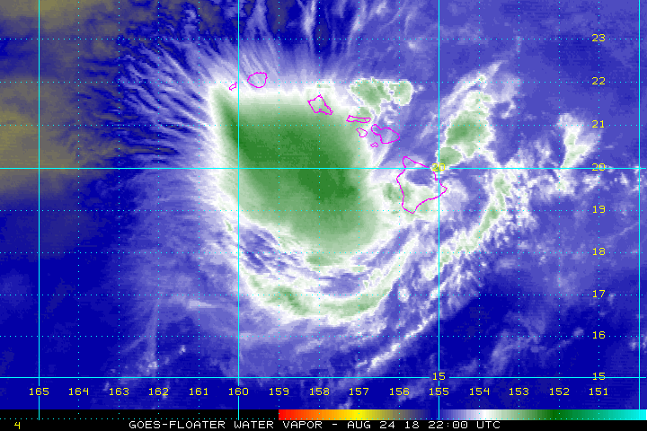
Hurricane Lane, the once-Category-4 storm that rapidly declined to a Category-2 as it moved over Hawaii's Big Island today, had as of this morning dumped 31 inches (78 centimeters) of rain on Hakalau Forest Biological Field Station in the southeastern portion of the state, and is expected to continue to drop water on the island state for days to come. The National Weather Service (NWS) Honolulu office warned of flooding and high surf into the weekend, with potentially devastating consequences for a state unused to this kind of weather.
That rainfall tally puts Lane on the far end of landfalling hurricanes, though not yet in the territory of the record-setting Harvey, which dropped more than 50 inches (127 cm) on Houston last year.
Latest Videos From
With a lot more rain still to come, Dale Eck, director of the Global Forecast Center for The Weather Channel (NWS), said that 60-inch (152 cm) totals from Lane aren't out of the question. [See Photos of Lane from Space]
Why?
"You have a situation of very wet tropical air running into high mountains," he told Live Science.
Normally, Eck explained, wet air following trade winds runs from the southeast into the tall volcanic mountains on Hawaii and drops its water, leading to a steady drumbeat of small showers and occasional thunderstorms.
Lane's powerful winds follow that same path as it sits offshore, he said, only they carry the enormous water content of a tropical system. So when they run into the mountains and drop their water, a whole lot more falls. That will be bad news for regions on the windward side of Hawaii's mountains, Eck said, though areas on the leeward side — including Honolulu — may experience somewhat less rain for the same reason.
The other major factor behind Lane's intense rains, he said, is how slow the storm is moving. As of 8 a.m. Hawaiian time, it was crawling north at just 2 mph (3.2 km/h). That gives the storm lots of time to dump rain over any bit of land it crosses.
That slow speed can lead to other problems, said Lynn McMurdie, a professor in the Department of Atmospheric Sciences at the University of Washington. Hurricanes are low pressure systems, she told Live Science, and water levels rise inside them as pressures drop, causing coastal flooding called a "storm surge."
The longer a hurricane sits in one place, she said, the more it tugs on that water, leading it to rise higher, which can cause more flooding.
Lane's winds will continue to weaken over the weekend, Eck said — though not for quite the same reason that hurricanes weaken when they hit the mainland. Hawaii isn't a big enough speck of land to strip lane of its warm water energy, he explained, but it happens to be that as the storm strikes Hawaii it's also running into northerly winds of the kind that tend to make hurricanes lose power, he said.
Originally published on Live Science.

 Live Science Plus