


15 Secretive Places You Can Now See on Google Earth (And 3 You Can't)
Mystery Square in El Ejido

A persistent Google Earth mystery was the blurring of a single square surrounded by roads and plantations in El Ejido, Spain, at the coordinates 36.747447, -2.718279. The site was clear until an update in 2007, when a blurry mask was added over the square. Rumor had it that the blurs hid a helipad. As of 2013, the square is visible on Google Earth, showing an arid stretch of land, a handful of trees, and buildings and a few roads leading toward the center.
El Ejido is part of the autonomous region of Andalusia. The area is largely agricultural, as the sea of greenhouse roofs visible from Google Earth can attest. On Google Maps, the Street View ends on a dirt road leading to the square.
Malaga Airport, Spain

Another blurred-on-Bing but clear-on-Google spot is one runway of the Malaga Airport in Spain. It's unclear what could be so sensitive about a single runway, which is the older of the airport's pair — the runway on the other side of the airport is clear, even on Bing Maps. So are the airport buildings. Some 2012 views of the airport in Google Earth are obscured by an irregular black box, but today the entire airport is visible.

The airport is the fourth-busiest in Spain, serving more than 16 million passengers a year as of 2016, according to the Spanish air navigation agency Aena. Strangely, there are no reports that the country's busiest airport, the Madrid Airport, was ever blurred.
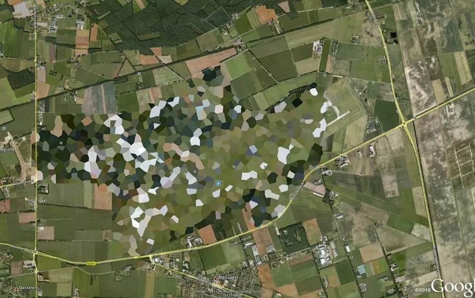
ExxonMobil Former Buffalo Terminal Site

ExxonMobil's Former Buffalo Terminal Site in Buffalo, New York, once featured blurred-out buildings, but today the site is no longer ExxonMobil's — and it's no longer blurry. ExxonMobile began downsizing this site and selling off portions of it in the 1990s. Today, the old oil refinery is gone, and the only business left is gasoline and oil storage operated by the company Buckeye Partners. The site is visible at the coordinates 42°51'50.92"N 78°49'45.62"W.
It's not really clear whether ExxonMobil requested this site be blurred for security reasons, or whether Google was simply using more-recent but less-clear imagery for a few years. In both 2006 and 2009 versions of Google Earth, the headquarters building of the site is obscured, but the effect might simply be due to shadows and a low sun angle.
Because of soil contamination from oil spills that threatens the nearby Buffalo River, New York has declared the Buffalo Terminal Site a Brownfield Cleanup site. The state is currently working through the public comment process and developing a plan to prevent contaminated soil from eroding into the waterway, including digging up some areas and disposing of the dirt elsewhere, according to the New York Department of Environmental Conservation.
Get the world’s most fascinating discoveries delivered straight to your inbox.
Fort Drum Military Base

Fort Drum is a 167-square-mile (433 square kilometers) military base in upstate New York. Its imagery on Google Earth is clear enough to see parked cars and even a few ant-like human figures walking around.
Multiple news sites report that Fort Drum used to be one of the places censored on Google imagery, but a scroll through Google Earth's historical satellite data doesn't show much obvious blurring — though the resolution of the imagery varies quite widely through the years.
Fort Drum is most famous as the home of the 10th Mountain Division, a light infantry division that was, at its founding in 1943, one of the few to receive training in mountain and alpine warfare. Today, the division is no longer focused on mountain training, but the trainees do work in difficult terrain, including in rugged provinces of Afghanistan such as the Paktika province, according to the Army.
Rosas Air Station, Girona, Spain

Secrecy still surrounds the Rosas Air Station on a hilltop near Girona, Spain, at least if you're using Bing. This station, site of a military radar that monitors Spain's airspace is blurry on Microsoft's mapping imagery. Google, though, has a clear view of roads snaking up the hill and a series of low-slung buildings. The site was censored until an update in 2015, according to Google Earth's history tab; until then, the air station was covered with a green blob. To see what's there now, enter the coordinates 42°16′45″N 3°14′17″E.
Marcoule Nuclear Site, France

While many nuclear power plants are clearly visible on Google Earth and Bing, the Marcoule Nuclear Site in France remains mostly pixelated. Interestingly, Marcoule hasn't always been censored: Google Earth's history tab shows the entire facility in previous versions, the latest dating to March 2016. The current imagery, though, blurs all but the very westernmost edge of the plant.
Marcoule is the site of two tritium-producing nuclear reactors. (Tritium is used as fuel in nuclear fusion reactions.) It's also the site of research into new reactor technology as well as the decommissioning of older nuclear facilities.
Oorsprongpark 8 (3581 ET Utrecht, the Netherlands)

Google Earth may be keeping fewer secrets these days, but there are still a few spots that remain hidden. One is Oorsprongpark 8 at 3581 ET Utrecht in the Netherlands. This address is deliberately obscured. In older images, it's covered with a white box. Today, it's pixelated in green and brown.
The reason for the blurring is unclear; the address, a neat brick building, can be seen clearly from Google Street View.
Camp Shorabak, Afghanistan

Satellite imagery from the remote areas of Afghanistan's Helmand province has never been the sharpest. Even in the 1990s, when there was nothing to hide in this barren desert, Google Earth's imagery was a bit of a blur. That hasn't changed, even as U.S. and British forces moved into the area after the invasion of Afghanistan in 2001 and eventually built up a base that up to 32,000 people could call home.
Beginning in 2005, the British military started constructing an outpost in this region, northwest of the city of Lashkar Gah, approximately at the coordinates 31°51'59.38"N 64°11'43.67"E. At the peak of the war, this outpost consisted of the British Camp Bastion, the U.S. Marine base Camp Leatherneck, and housing for Afghan Army personnel. Today, the much-reduced base is known as Camp Shorabak, but its contours are vague even as Google's satellite imagery has sharpened. The camp is visible in Landsat imagery from a broad view, but seems to be swallowed by desert as users zoom in using 2017 Digital Globe and CNES/Airbus imagery.
If the disappearance is due to image censorship (and not just the shrinking of the base as U.S. and British troops pulled out of the country), the camp's history could offer a clue as to why. In September 2012, a Taliban raid on Camp Bastion killed two U.S. Marines and damaged eight aircraft. Earlier this year, a Taliban raid of 10 fighters on an Afghan army base, Camp Sheehan, killed between 140 and 256 Afghan soldiers.

Stephanie Pappas is a contributing writer for Live Science, covering topics ranging from geoscience to archaeology to the human brain and behavior. She was previously a senior writer for Live Science but is now a freelancer based in Denver, Colorado, and regularly contributes to Scientific American and The Monitor, the monthly magazine of the American Psychological Association. Stephanie received a bachelor's degree in psychology from the University of South Carolina and a graduate certificate in science communication from the University of California, Santa Cruz.