


Typhoon Wipha Battering Tokyo, Eastern Japan
This article was provided by AccuWeather.com.
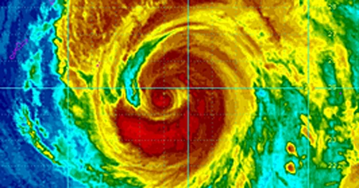
Millions of people in Japan are bracing for the approach of Typhoon Wipha and the expected destructive winds, life-threatening flooding and mudslides.
Although Wipha has weakened during the past 24 hours due to interaction with a front to the north, the cyclone remains a dangerous typhoon as it approaches the eastern coastline of Japan.


The cold front mentioned above will continue to direct Wipha northeastward on Tuesday night and Wednesday bringing the center of the storm very close to the coast near Tokyo.
The greatest area of concern extends across eastern Honshu, including the greater Tokyo area, home to more than 35 million people.

Heavy rainfall has already overspread eastern Japan in advance of the storm. Rainfall totals between 150-250 mm (6-10 inches) are expected through midday on Wednesday with isolated amounts over 300 mm (12 inches) before rainfall comes to an end from south to north. Oshima, south of Tokyo has already received more than 175 mm (7 inches) of rain.
The strongest wind gusts are expected to surpass 120 kph (75 mph) during the peak of the storm. Winds of this magnitude can lead to downed trees, widespread power outages and structural damage.
Get the world’s most fascinating discoveries delivered straight to your inbox.

Heavy rainfall will also target the higher terrain of inland Japan. The amount of rain falling on Tuesday night and Wednesday will be significant, enough to cause widespread flooding in addition to the threat for mudslides.
RELATED: Nari Drenches Indochina Detailed Forecast for Tokyo, Japan Interactive Japan Weather Radar
Wipha is now the eighth typhoon of 2013 and also the 26th named tropical cyclone of the year, according to the Japan Meteorological Agency.
Another cyclone with the potential to strengthen into a typhoon will develop later this week near the Mariana Islands, resurfacing the threat for damaging winds and flooding rainfall across Japan by the middle of next week.
AccuWeather.com Meteorologist Eric Leister contributed content to this story.
© AccuWeather.com. All rights reserved. More from AccuWeather.com.
The only sure thing about weather forecasts is that they’re wildly different all over the planet. Test your knowledge on the wild ranges in temperature, precipitation and more.
Extreme Weather Facts: Quiz Yourself
