
 Live Science Plus


New Earth Explorer Satellite to Map Global Forests

published
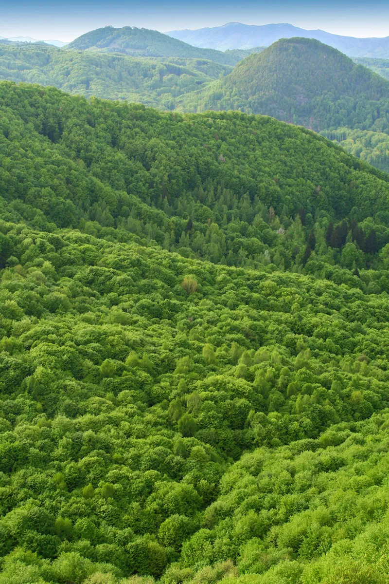
Forests store large amounts of carbon in their trunks and leaves, and play a major role in global climate. The BIOMASS satellite will map this effect on a global scale.
(Image credit: Mares Lucian | Shutterstock)
The European Space Agency hopes to launch a new Earth Explorer satellite in 2020 that will map the extent and composition of the world’s forests.
The satellite — called BIOMASS — will use long range radar to pierce through clouds and collect data from forested regions inaccessible from the ground, such as the boreal forests of Russia and the Amazon rain forest. The ESA hopes the resulting data and 3D forest maps will help researchers measure the total amount of carbon stored in forests, and better understand the role of deforestation in global climate change. The new data could also help inform reforestation projects aimed to slow the pace of climate change.

