


Candy Land: Images Reveal Forests' True Colors
Candy-colored Forest
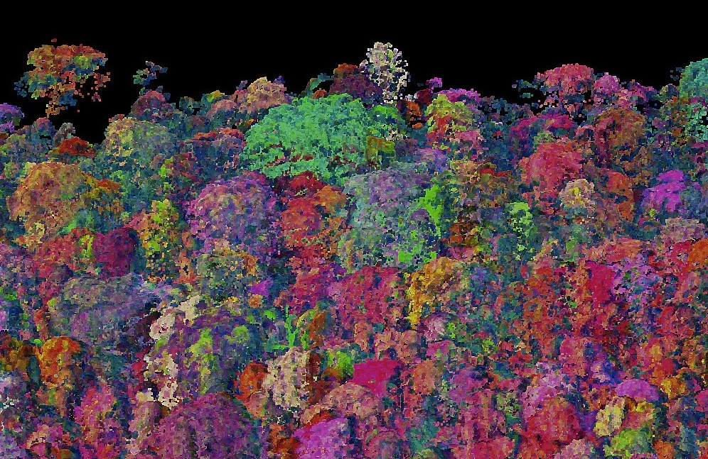
This three-dimensional chemical map of a forest in Panama uses colors to reveal the different chemical compositions of vegetation. Similar maps help researchers understand how diverse and healthy tropical forests are.
Santa Cruz Island

The terrain of Santa Cruz Island, part of Channel Islands National Park off the coast of California. Researchers with the Carnegie Airborne Observatory have worked to develop ways to monitor the island's biodiversity, fire risk and the threat from invasive species.
Peruvian Amazon

A map of the tropical forests of Peru created with Carnegie Airborne Observatory data. Different colors represent different chemical compositions of trees.

Kohala, Hawaii

This map shows a segment of the island of Hawai'i called Kohala.
Kruger National Park

The surface of Mars? No, this chemical composition map is of a portion of Kruger National Park in South Africa.
Cliff View

Hawaii Volcanoes National Park as mapped by the Carnegie Airborne Observatory. The mapping allows researchers to measure the encroachment of invasive species, a big problem on isolated islands like those that make up Hawaii.
Get the world’s most fascinating discoveries delivered straight to your inbox.

Stephanie Pappas is a contributing writer for Live Science, covering topics ranging from geoscience to archaeology to the human brain and behavior. She was previously a senior writer for Live Science but is now a freelancer based in Denver, Colorado, and regularly contributes to Scientific American and The Monitor, the monthly magazine of the American Psychological Association. Stephanie received a bachelor's degree in psychology from the University of South Carolina and a graduate certificate in science communication from the University of California, Santa Cruz.