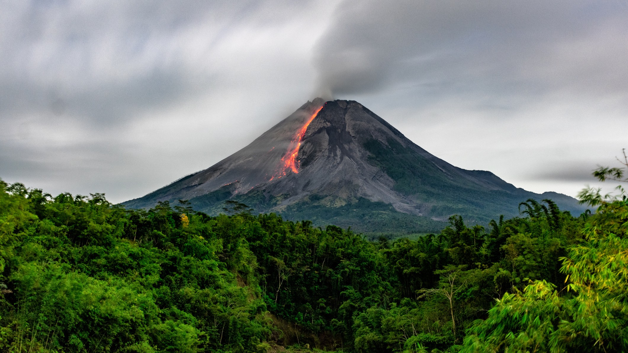
The closer a volcano is to erupting, the greener the trees around it look from space
Scientists have found a way to monitor volcanic carbon dioxide levels — one of the first signs a volcano might be about to blow — that doesn't involve trekking up a mountain.

Scientists can tell whether a volcano is about to erupt from the greenness of the trees around it, with more vibrant leaves indicating a potentially imminent blast.
Until now, these subtle color changes could be observed only from the ground — but researchers have recently found a way to monitor them from space.
A new collaboration between NASA and the Smithsonian Institution could "change the game" when it comes to detecting the first signs of a volcanic eruption, volcanologists said in a statement published by NASA earlier this month. These signs can help to protect communities against the worst effects of volcanic blasts, including lava flows, ejected rocks, ashfalls, mudslides and toxic gas clouds.
"Volcano early warning systems exist," Florian Schwandner, a volcanologist and chief of the Earth Science Division at NASA's Ames Research Center in California, said in the statement. "The aim here is to make them better and make them earlier."
Current indicators of an imminent volcanic eruption include seismic activity, changes in ground height and sulfur dioxide emissions, which are visible from space. Scientists also look out for carbon dioxide (CO2) emissions linked to magma near Earth's surface, but these are harder to pinpoint with satellites than sulfur dioxide due to the ubiquity of CO2 in the atmosphere.
"A volcano emitting the modest amounts of carbon dioxide that might presage an eruption isn't going to show up in satellite imagery," Robert Bogue, a doctoral student in volcanology at McGill University, Canada, said in the statement.
Get the world’s most fascinating discoveries delivered straight to your inbox.
But researchers are particularly interested in detecting these emissions because CO2 is one of the very first signs of a coming eruption — preceding even sulfur dioxide, according to the statement.
To that end, scientists have been developing methods to monitor carbon dioxide based on the color of trees around volcanoes. Clouds of CO2 wafting from volcanoes that are about to blow boost the health of surrounding trees and plants, making their leaves greener and more lush.
"The whole idea is to find something that we could measure instead of carbon dioxide directly," Bogue said in the statement.
Until recently, scientists had to trek to volcanoes if they wanted to measure their CO2 levels. By using the color of tree leaves as an indicator of volcanic gas concentrations, researchers can save themselves the trouble of accessing remote and potentially dangerous locations — instead relying on satellites to do the hard work.

A 2024 study published in the journal Remote Sensing of Environment revealed a strong correlation between the carbon dioxide and trees around Mount Etna in Italy. Using pictures taken by Landsat 8 and other Earth-observing satellites between 2011 and 2018, the study’s authors showed 16 clear spikes in both the amount of CO2 and vegetation’s greenness, which coincided with upward migrations of magma from the volcano.
"There are plenty of satellites we can use to do this kind of analysis," study lead author Nicole Guinn, a doctoral student in volcanology at the University of Houston in Texas, said in the statement.
Measuring the greenness of trees from space won't be useful in all volcanic settings, however. Many volcanoes don't host trees – or at least not enough trees to measure with satellites, according to the statement. Some trees and forests may respond unexpectedly to changing carbon dioxide levels — for example, if they have been affected by fires, diseases or abnormal weather conditions.
"Tracking the effects of volcanic carbon dioxide on trees will not be a silver bullet," Schwandner said. "But it is something that could change the game."
To expand on the potential of the new method, researchers from NASA, the Smithsonian Institution and other organizations recently launched the Airborne Validation Unified Experiment: Land to Ocean (AVUELO), which will compare satellite images of trees around volcanoes with ground observations. The aim is to ensure the data match, so that scientists can calibrate space-borne instruments and take the research forward.

Sascha is a U.K.-based staff writer at Live Science. She holds a bachelor’s degree in biology from the University of Southampton in England and a master’s degree in science communication from Imperial College London. Her work has appeared in The Guardian and the health website Zoe. Besides writing, she enjoys playing tennis, bread-making and browsing second-hand shops for hidden gems.
You must confirm your public display name before commenting
Please logout and then login again, you will then be prompted to enter your display name.
 Live Science Plus


