













Where Will Hurricane Irma Make Landfall?

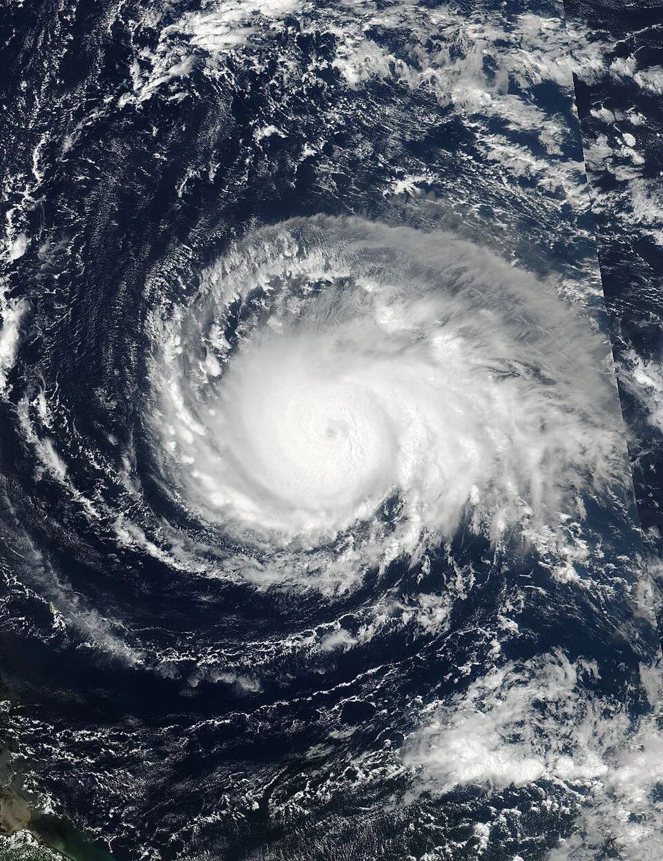
Editor's Note: Check out our Hurricane Irma News page for up-to-date information on the raging storm and where it may make landfall on the U.S. mainland.
Hurricane Irma, a "potentially catastrophic" storm that is gaining strength in the Atlantic Ocean, was upgraded to a Category 5 storm early today, according to the National Hurricane Center (NHC). Where is this monster storm headed, and which cities could feel the most devastating impacts?
As of 8 a.m. EDT this morning, the hurricane was 270 miles (435 kilometers) southeast of St. John, one of the U.S. Virgin Islands, with maximum sustained winds of 185 mph (298 km/h), according to the NHC. Yesterday (Sept. 4), both Florida Gov. Rick Scott and Puerto Rico Gov. Ricardo Rosselló declared states of emergency in response to the growing storm.
Irma is expected to trace a northwest path through the Atlantic, likely blasting parts of the northeastern Leeward Islands with severe winds, storm surge and intense rainfall later today before hitting the Virgin Islands and Puerto Rico, according to the NHC. Although the likelihood that Irma will impact the Florida Keys and parts of the Florida Peninsula is increasing, it is too soon to say where else the hurricane might directly impact the continental United States, NHC officials said. [Hurricane Irma Photos: Images of a Monster Storm]
To predict which part of the continental U.S. the storm will hit first, officials need to determine when the storm's path will curve toward the north, said Dave Gochis, a scientist at the National Center for Atmospheric Research in Boulder, Colorado.
"That's where the uncertainty lies, and the options are moving up the east coast of Florida or the main part of Florida or scooting through the Florida Key area — between Florida and Cuba — and going into the Gulf of Mexico, which seems a little less likely right now," Gochis told Live Science. He added that within the next three or four days, meteorologists will likely have a better idea of the path Irma will take.
It's unlikely Irma will increase significantly in intensity before it makes landfall on the continental U.S., because the storm is already near the maximum possible strength for an Atlantic hurricane, Jeff Weber, a meteorologist for the University Corporation of Atmospheric Research, told Live Science.
Get the world’s most fascinating discoveries delivered straight to your inbox.
Irma's course depends strongly on the jet stream, a fast-moving air current that arcs down across the U.S. and is currently flowing through New England. The stream will move farther south across the continental U.S. in the next few days. Once Irma interacts with the jet stream, the hurricane will downgrade significantly in strength, although it will still retain a lot of its moisture, according to Weber.
He said he anticipates this interaction taking place over the Florida Peninsula Saturday evening into Sunday morning.
The latest advisories for the Atlantic can be found on the National Hurricane Center website.
Original article on Live Science.
