Hurricane season is upon us once again starting today, and while forecasters are calling for an average season this year, the ferocious storms could still pose a major threat to Atlantic coastal communities.
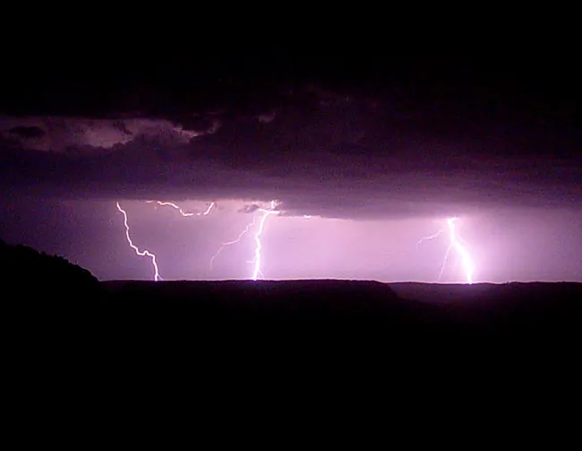
Strange day-before lightning could prove to be a warning tool in such cases, research now finds.
Forecasters have radar and other instruments to help them track the path and strength of storms, but hurricane intensity can ramp up suddenly and unpredictably, as Hurricane Charlie did before striking the southwest coast of Florida in 2004.
Latest Videos From
But an April study in Nature Geoscience found that the peak winds of a hurricane are preceded by an increase in lightning activity by about one day. Because lightning activity is easily monitored around the world, it could prove a useful tool in hurricane predictions.
In the study, Colin Price of Tel Aviv University in Israel and his colleagues tracked the wind speeds of all the severe hurricanes (categories 4 and 5 on the Saffir-Simpson scale of hurricane strength) around the globe from 2005 to 2007 (for a total of 56 storms), and compared them with global lightning data.
For 70 percent of the storms, lightning activity in the region of a hurricane peaked in advance of the highest wind speeds, and 55 percent showed a positive correlation between lightning activity and hurricane wind speeds about 30 hours in advance.
Price and his colleagues think the higher lightning activity is related to increased convection in the storm, which leads to the storm's intensification.
Some scientists suspect that the number of the most intense hurricanes per season has increased in recent years, but predictions this year are indicating an average season in the Atlantic Basin, with between just one and three major hurricanes (categories 3, 4 and 5), according to the National Hurricane Center.
NHC forecasts put the number of named storms (those that reach at least tropical storm status) between nine and 14, with four to seven of those becoming hurricanes. Tropical storms have wind speeds at or above 39 mph (63 kph). A tropical storm becomes a hurricane when its winds top 74 mph (119 kph). Major hurricanes are those with wind speeds above 111 mph (178 kph).
An average season has 11 named storms, including six hurricanes with two becoming major hurricanes.
By contrast, the 2008 season was above average, with a total of 16 named storms and five major hurricanes. One of these, Hurricane Ike, devastated Galveston, Texas, with surging seawaters.
The first named storm of the 2009 season will be dubbed "Ana."
The official beginning of the season is June 1 and the end is Nov. 30, though storms can, and have, formed outside of those human-imposed markers.
So far this year, only one tropical depression has appeared in the Atlantic.
- Video – The Life of a Hurricane
- Hurricane News, Images and Information
- How Strong Can a Hurricane Get?