


California's Thirst Triggers Earthquakes, Lifts Mountains
One of California's worst environmental disasters can move mountains and cause earthquakes.
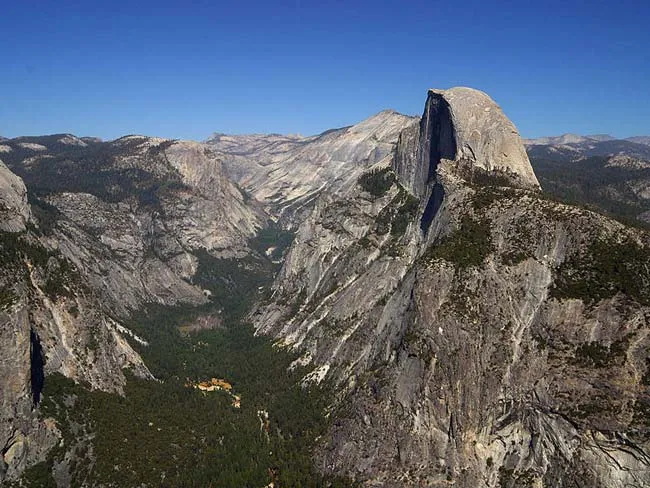
The Sierra Nevada and other mountain ranges ringing fertile farmlands in California's Central Valley are springing upward atop land freed of an immense weight — enough water to fill Lake Tahoe.
Thirsty Californians have sucked so much water from beneath the Central Valley that scientists estimate the Sierra Nevada mountains and Coast Ranges both rose nearly 6 inches (15 centimeters) since groundwater pumping started in 1860. The Central Valley grows 25 percent of the nation's food, but most of its water comes from wells, not rainfall.

California's boom-and-bust water cycle not only flexes the Earth, it also triggers earthquakes along the San Andreas Fault, according to the same study, published today (May 14) in the journal Nature. [5 Ways We Waste Water]
"Both the creeping and locked sections of the San Andreas Fault have a seasonal pattern of earthquakes," said lead study author Colin Amos, a geologist at Western Washington University in Bellingham. "The natural signal of the mountains going up and down can explain this pattern."
Heaving Earth
An army of GPS stations reveals mountains surrounding central California's San Joaquin Valley rise and fall each year by the thickness of a dime (1 to 3 millimeters). Here's why: The weight of rain and snow delivered by winter storms pushes down the Earth's crust. In the late summer and fall, the water evaporates and the crust rebounds. Groundwater pumping also peaks in the late summer and fall, boosting the rebound effect.
Get the world’s most fascinating discoveries delivered straight to your inbox.
As the Earth warps, the movement clamps and unclamps the nearby San Andreas Fault, triggering earthquakes, the researchers think.
But don’t blame the farmers for earthquakes … yet. In the short term, the natural flexing from rain and snow greatly outweighs the changes from groundwater pumping, Amos said.
A similar effect takes place in the Himalayas, which experience far more earthquakes in winter than summer. GPS studies there connected the drenching summer monsoon cycle to changes in the Earth's crust that lead to more winter earthquakes.
The stress on the San Andreas Fault from winter rains, summer evaporation and groundwater pumping is similar in size to the effect of nearby large earthquakes, about 1 kilopascal, the researchers calculated. [The 10 Biggest Earthquakes in History]

However, the study does leave open the possibility that groundwater pumping could give rise to more damaging earthquakes in central California, Amos said. The long-term upward leap from removing so much groundwater is much larger than the seasonal effect. Though it's only a few inches, the 150 years of rebound could bring the San Andreas Fault closer to unleashing another large earthquake, though the study does not say a quake is imminent. Groundwater pumping triggered a deadly magnitude-5.1 earthquake in Lorca, Spain, in 2011.
"This study shows that human-induced changes are significant and must be considered in earthquake hazard analyses," said Paul Lundgren, a geophysicist at NASA's Jet Propulsion Laboratory (JPL) in Pasadena, California, who was not involved in the study.
"The key aspect to keep in mind is that while they can estimate that the unclamping of the San Andreas Fault will promote future seismicity there, they do not know what is the current absolute state of stress on the fault nor how much additional stress accumulation is required to generate the next large earthquake," Lundgren said.
Moving mountains
The findings also neatly solve a long-standing puzzle in California tectonics — why the southern Sierra Nevadas are springing up so fast. Several explanations have been proposed, mainly focusing on tectonic forces such as faults, but the groundwater link is a better fit, the researchers said.

"We can explain the vertical uplift signal in the Sierra Nevada entirely with groundwater. It doesn't require any tectonic forces at all," Amos said.
JPL researcher Don Argus, an expert on tracking the Sierra Nevada's subtle shifts, also agrees that the groundwater pumping provides a good explanation for the mountain range's steady yearly rise of 1 to 2 millimeters per year. (That’s about a half inch every 10 years.)
"It was hard to resolve the uplift [with] tectonics in the first place," said Argus, who was not involved in the research. "This is an exciting study."
The Central Valley would be rising, too, if its aquifer weren't missing so much water. Overpumping collapses sediments near the surface, causing subsidence, and California doesn't regulate groundwater pumping. Some towns in the Central Valley are sinking at nearly a foot per year. The Central Valley uses twice as much water as is replenished by rain and snow, and the ongoing drought is prompting farmers to drill even deeper wells.
Email Becky Oskin or follow her @beckyoskin. Follow us @OAPlanet, Facebook and Google+. Original article at Live Science's Our Amazing Planet.
