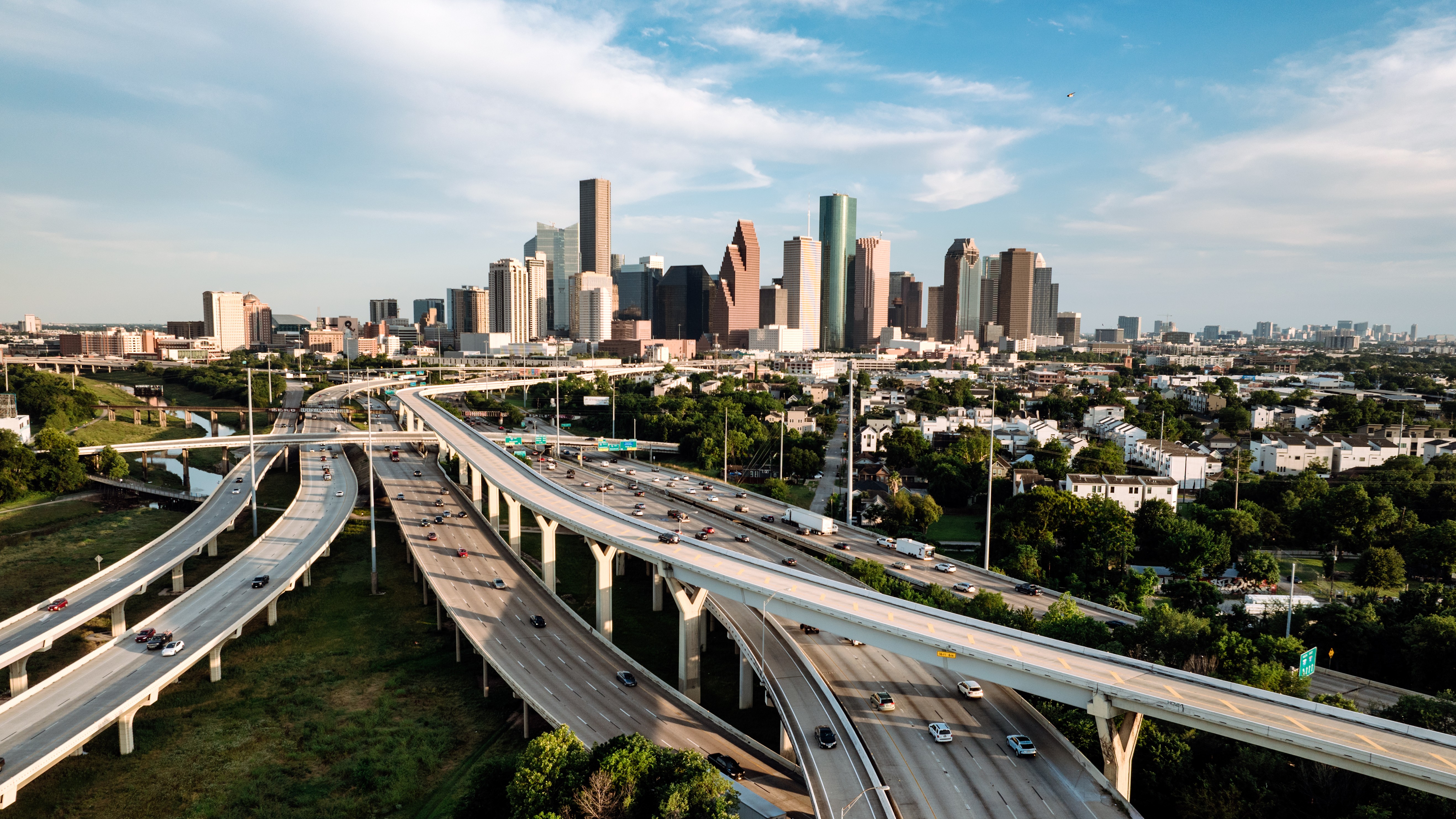
Satellite study reveals the fastest sinking city in the US
Satellite data revealed that Houston is the fastest-sinking city in the U.S., and that all of the other biggest cities are dropping in at least some areas. Researchers say groundwater extraction is largely to blame for the sink.

All of the biggest cities in the United States are sinking into the ground in places, new satellite data reveal — and 34 million people are affected. However, some cities are sinking faster and over a much larger area than others.
A study found that Houston is the fastest-sinking city, with some areas dropping at a rate of 0.4 inches (10 millimeters) per year, while most major cities have localized zones where the land is sinking faster than 0.2 inches (5 mm).
Cities are sinking for a variety of reasons, but the most common cause is groundwater extraction. The sinking is a problem because it increases the risk of flooding and threatens buildings and other infrastructure, according to the study, published Thursday (May 8) in the journal Nature Cities.
To address the sinking, the researchers suggested measures like flood mitigation, retrofitting vulnerable structures and limiting building in areas at greatest risk.
"As opposed to just saying it's a problem, we can respond, address, mitigate, adapt," study lead author Leonard Ohenhen, a researcher at Columbia University's Columbia Climate School, said in a statement. "We have to move to solutions."
Land subsidence is often associated with coastal areas, where a combination of sinking land and rising sea levels can potentially drown cities like New Orleans and San Francisco in water. However, land subsidence isn't just limited to coastlines and can cause problems across the U.S., according to the study.
Get the world’s most fascinating discoveries delivered straight to your inbox.
The new research explored land subsidence in the country's 28 most populous cities, which all had populations exceeding 600,000 people. The researchers used remote sensing data collected by the European Space Agency's Sentinel-1 satellites to create high-resolution maps of vertical land motion.
The maps revealed that in all 28 cities, there was sinking in at least some parts of each city — a minimum of 20% of the urban area. Twenty five of the 28 cities had at least 65% of their area sinking. In the case of Houston, Dallas, Fort Worth, Chicago, Columbus, Detroit, Denver, New York, Indianapolis, and Charlotte, the sinking covered 98% of the city.
Houston, Dallas and Fort Worth had the highest proportion of areas (more than 70%) sinking at a rate of 0.1 inches (3 mm) per year. Houston was the worst affected, with 43% of its land sinking more than 5 mm per year and 12% sinking at 10 mm per year, according to the study.
Why are the cities sinking?
Land subsides due to both natural and human-driven factors. The ground is never truly static, with geological processes keeping us constantly on the move. In cities like New York and Nashville, the ground is adjusting to the loss of massive ice sheets that weighed it down during the last ice age around 16,000 years ago. This process, called glacial isostatic adjustment, causes land to rise and fall as it returns to its original pre-ice age shape.
However, despite these natural processes, humans are still the biggest contributors to sinking urban land, according to the study. The researchers said that 80% of the urban land subsidence is associated with groundwater extraction. Pumping groundwater can have a variety of knock-on effects. For example, removing water from aquifers with fine-grained sediments creates spaces between those sediments, which can then collapse and compact the earth below, pulling the surface down. In Texas, this problem is exacerbated by the pumping of oil and gas, according to the statement.
The researchers noted that sinking problems could be further exacerbated by climate change. As the planet heats up, droughts will likely create greater demand for groundwater and drive more extraction. Furthermore, the threat of flooding is likely to grow as climate change increases the frequency and intensity of extreme weather, according to the study.
Another problem is that cities are still growing, which means more people will live on subsiding land, and therefore there will be more demand for groundwater and more strain on infrastructure. The study found that vertical land motion has already put 29,000 buildings in high damage risk areas.
"As cities continue to grow, we will see more cities expand into subsiding regions," Ohenhen said. "Over time, this subsidence can produce stresses on infrastructure that will go past their safety limit."

Patrick Pester is the trending news writer at Live Science. His work has appeared on other science websites, such as BBC Science Focus and Scientific American. Patrick retrained as a journalist after spending his early career working in zoos and wildlife conservation. He was awarded the Master's Excellence Scholarship to study at Cardiff University where he completed a master's degree in international journalism. He also has a second master's degree in biodiversity, evolution and conservation in action from Middlesex University London. When he isn't writing news, Patrick investigates the sale of human remains.
You must confirm your public display name before commenting
Please logout and then login again, you will then be prompted to enter your display name.
 Live Science Plus


