














Air Guns Provide Shot of Earthquake Faults

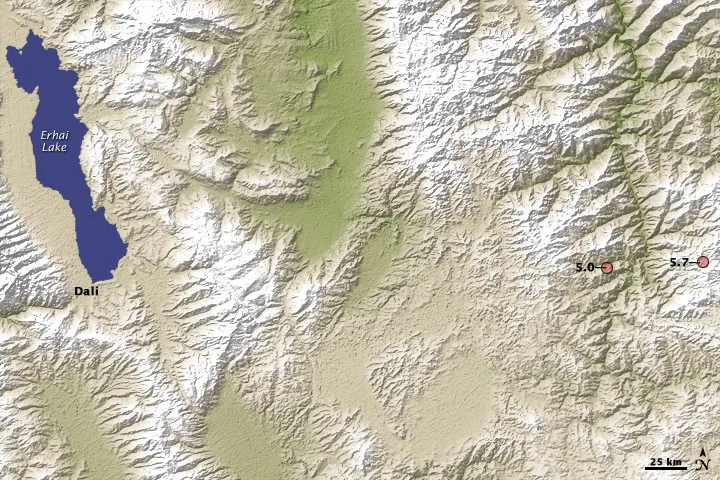
Teasing out just what is happening below the Earth's shifty surface during an earthquake is no simple feat, but scientists have found a new tool that may help get a clearer picture of the minute movements of seismic faults.
Air guns shot at a lake can help illuminate how faults and other subterranean structures near a lake can subtly deform over time, a group of researchers in China has found using a new seismic station they've developed.
Traditional seismic stations monitor ground motion passively. This new method is a more active one that employs air guns that shoot acoustic waves that can help seismic instruments get a clearer picture of the Earth's interior, acting somewhat like a strobe light in the dark.
The new station, called the Binchuan Transmitting Seismic Station, was deployed in April 2011 at the northern section of Red River Fault in Binchuan, located in China's Yunnan province, where it intersects another major fault, the Chenghai Fault. The region is home to more than 3 million people and faces great seismic hazards, prone as it is to earthquakes exceeding magnitude 7. [Most Dangerous Places on Earth]
The air gun was immersed in Lake Dayindian, a 494-acre (2 square kilometers) reservoir.
The ground- shaking induced by each one of the air gun shots is estimated to be equivalent to that of a magnitude 0.5 earthquake. Nevertheless, the air pulses appear environmentally friendly, and do not seem to have any visible effects on fish in the lake or nearby buildings, dams or power lines.
The station works in concert with an array of permanent and portable seismic stations that spans an area of 3,860 square miles (10,000 sq km).
Get the world’s most fascinating discoveries delivered straight to your inbox.
Preliminary results with 111 test shots fired over six nights suggest the station "provides an unprecedented opportunity to monitor the subsurface changes of the fault zone," said researcher Baoshan Wang at the China Earthquake Administration's Institute of Geophysics in Beijing. It should help monitor the evolution of the crust beneath an approximately 300-mile-long (500 km) section of the Red River Fault, as well as other faults nearby.
The researchers now propose firing the array once every week for at least the next three years to continuously monitor deformation of these faults. It could also help analyze other seismological problems, such as how seismic waves propagate in complex areas of the Earth's crust.
"The next step is we are trying to develop a similar system that is more portable, which will help us to monitor the subsurface at any place we want," Wang said.
The scientists detailed their findings in the Jan. 31 issue of the journal Eos.
This story was provided by OurAmazingPlanet, a sister site to LiveScience.