What causes the placebo effect?
Experts look to psychology and physiology to understand why people sometimes feel better after receiving a sham treatment.
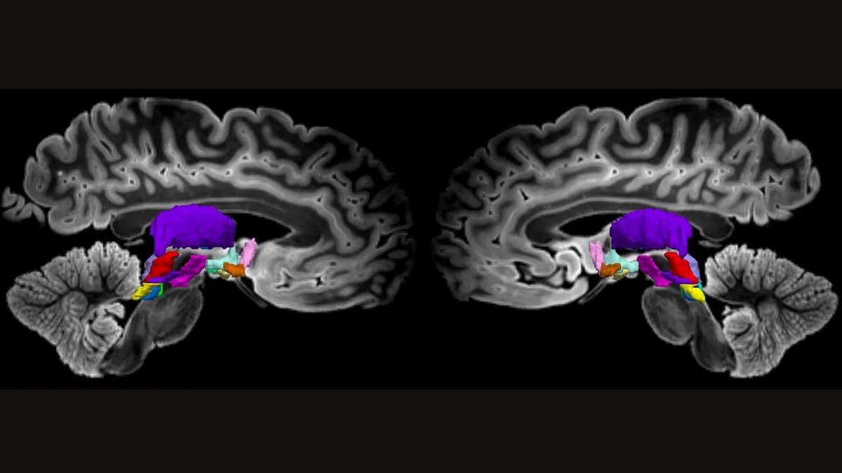
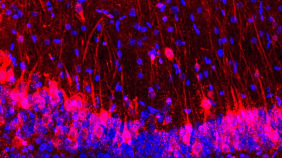
A new map of a brain network that sustains wakefulness in humans could help improve our understanding of consciousness.

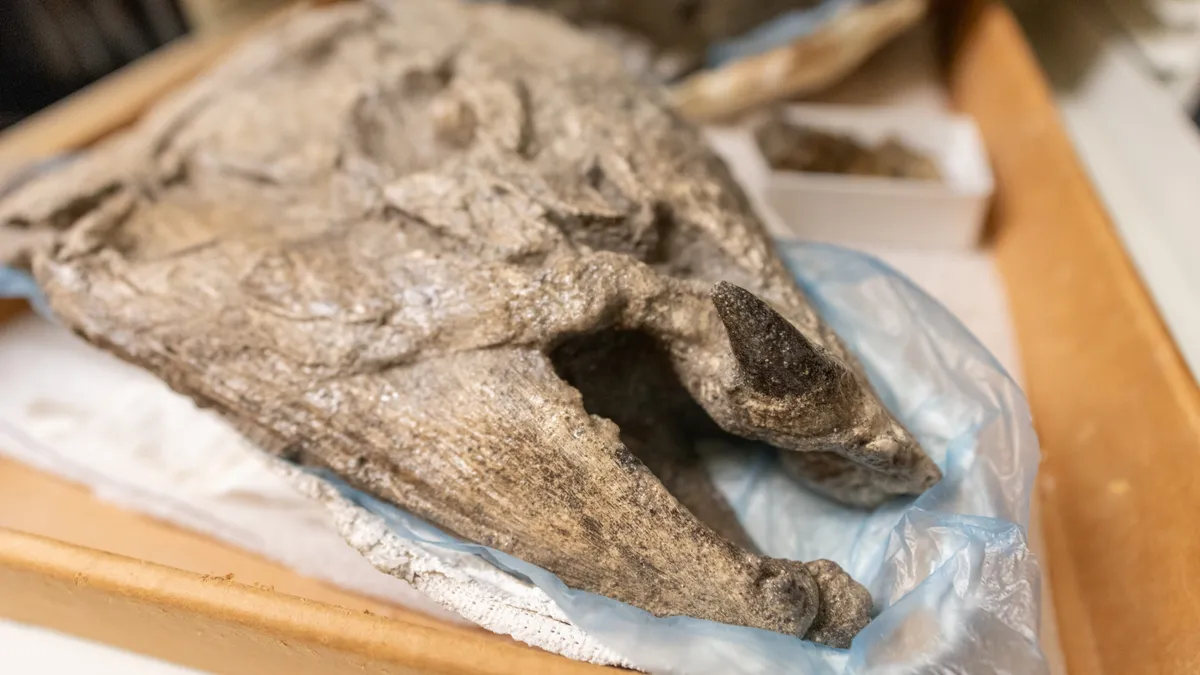
Until the end of the last ice age, American cheetahs, enormous armadillolike creatures and giant sloths called North America home. But it's long puzzled scientists why these animals went extinct about 10,000 years ago.

The causes range from innocuous media exposure to severe mental illness.

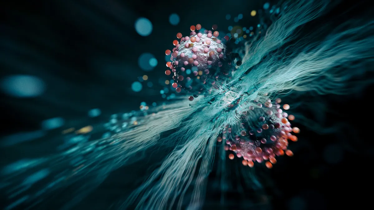
A new imaging technique, which captured frozen lithium atoms transforming into quantum waves, could be used to probe some of the most poorly understood aspects of the quantum world.
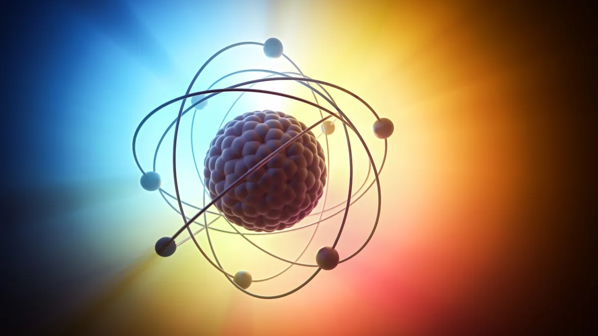
Reference Quantum mechanics, or quantum physics, is the body of scientific laws that describe the wacky behavior of photons, electrons and the other subatomic particles that make up the universe.
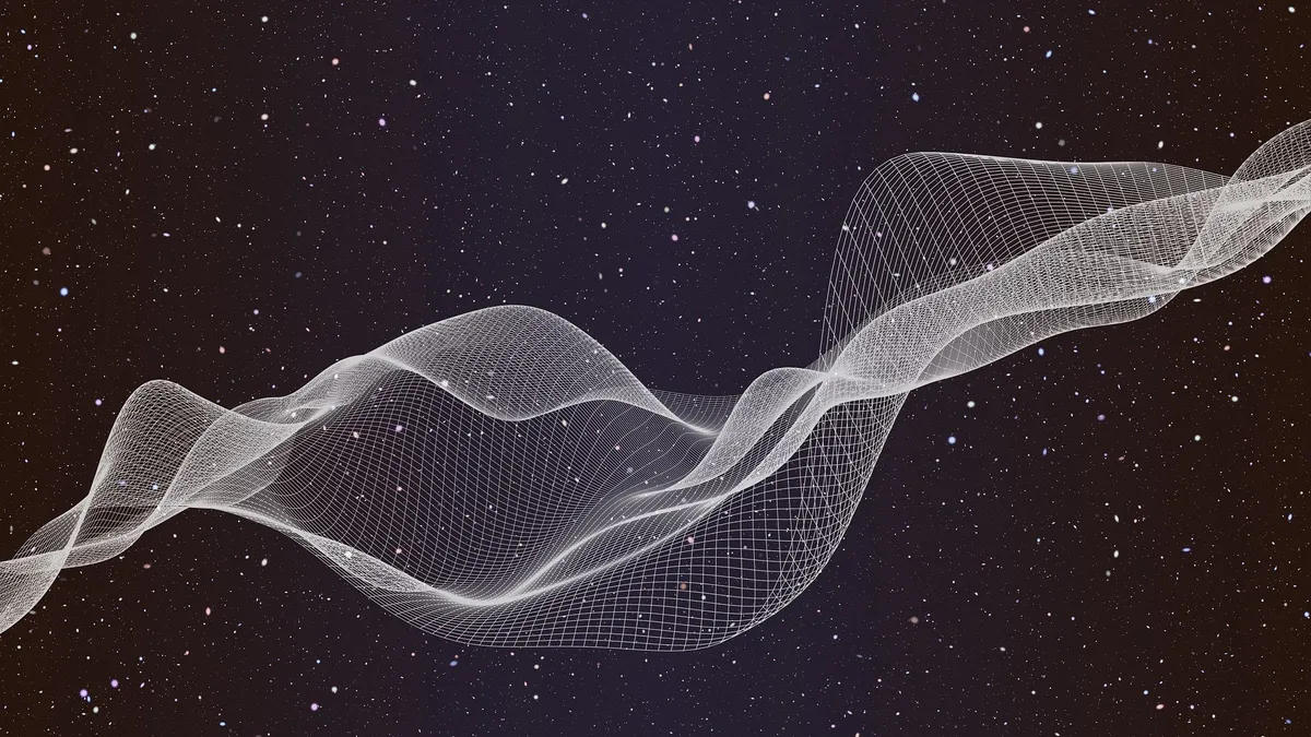
Physicists have proposed modifications to the infamous Schrödinger's cat paradox that could help explain why quantum particles can exist in more than one state simultaneously, while large objects (like the universe) seemingly cannot.

A new type of hybrid sodium-ion battery that offers both high capacity and rapid-charging capabilities could power mobile devices, electric vehicles and space tech.