It's quick and easy to access Live Science Plus, simply enter your email below. We'll send you a confirmation and sign you up for our daily newsletter, keeping you up to date with the latest science news.
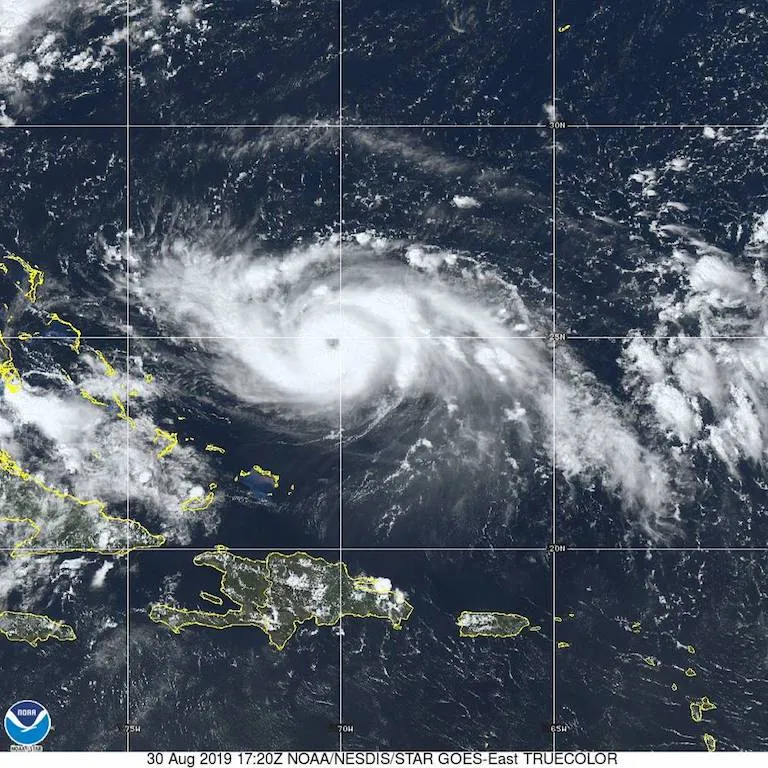
The monster storm gathered strength on Friday (Aug. 30), and as of 5 a.m. EST on Saturday (Aug. 31), was packing maximum sustained winds near 140 mph (220 km/h), according to the update. There's a chance Dorian may get even stronger today, the NHC wrote.
Currently, the storm is moving northwest at about 12 mph (19 km/h), and will likely reach the northwest Bahamas by Sunday (Sept. 1), according to the NHC.
Dorian's forecasted track, however, has shifted slightly north, which means there's a chance it could just miss South Florida. The current track predicts Dorian will be near the coast of Florida late Monday (Sept. 2). But the "cone of uncertainty," which shows the range of possible locations for the storm's center, is still wide enough that it encompasses almost the entire state (minus Miami), as well as a large area offshore.
(Image credit: NHC)
"Life-threatening storm surge and devastating hurricane-force winds are possible along the Florida east coast by early next week," according to an update from the NHC.
What's more, the monster storm is still a major hurricane with the potential to do tremendous damage in the state, even if the storm's center stays offshore, the NHC said.
Sign up for the Live Science daily newsletter now
Get the world’s most fascinating discoveries delivered straight to your inbox.
Heavy rains, and the life-threatening flash-floods they may bring, are possible not just in Florida but in the southeastern portions of the U.S. well into next week, according to the NHC.
If you are in the path of the storm, it's important to have a hurricane plan in place, the NHC said.
Tia is the editor-in-chief (premium) and was formerly managing editor and senior writer for Live Science. Her work has appeared in Scientific American, Wired.com, Science News and other outlets. She holds a master's degree in bioengineering from the University of Washington, a graduate certificate in science writing from UC Santa Cruz and a bachelor's degree in mechanical engineering from the University of Texas at Austin. Tia was part of a team at the Milwaukee Journal Sentinel that published the Empty Cradles series on preterm births, which won multiple awards, including the 2012 Casey Medal for Meritorious Journalism.