It's quick and easy to access Live Science Plus, simply enter your email below. We'll send you a confirmation and sign you up for our daily newsletter, keeping you up to date with the latest science news.
Glaciers and ice sheets in Antarctica have thinned and weakened dramatically over the past quarter-century, leaving 24% of the ice in the western part of the continent seriously weakened and in danger of collapse.
In some places on Antarctica, glaciers have thinned by approximately 400 feet (122 meters). This staggering loss has little to do with weather fluctuations; rather, it unfolded over decades as Earth's climate warmed, scientists reported in a new study.
And that ice loss is accelerating. The researchers found that West Antarctica's two biggest glaciers — Thwaites and Pine Island — are melting away five times faster now than they were at the beginning of the survey, in 1992. [Antarctica: The Ice-Covered Bottom of the World (Photos)]
To determine these ice changes, the scientists examined regional climate models and satellite data spanning 25 years, they reported May 16 in the journal Geophysical Research Letters.
They consulted 800 million measurements of ice sheet height in Antarctica, recorded between 1992 and 2017 by the European Remote Sensing (ERS) satellites ERS-1 and ERS–2, the Earth-observing satellite Envisat and the environmental research satellite CryoSat-2. All of the satellites were deployed by the European Space Agency.
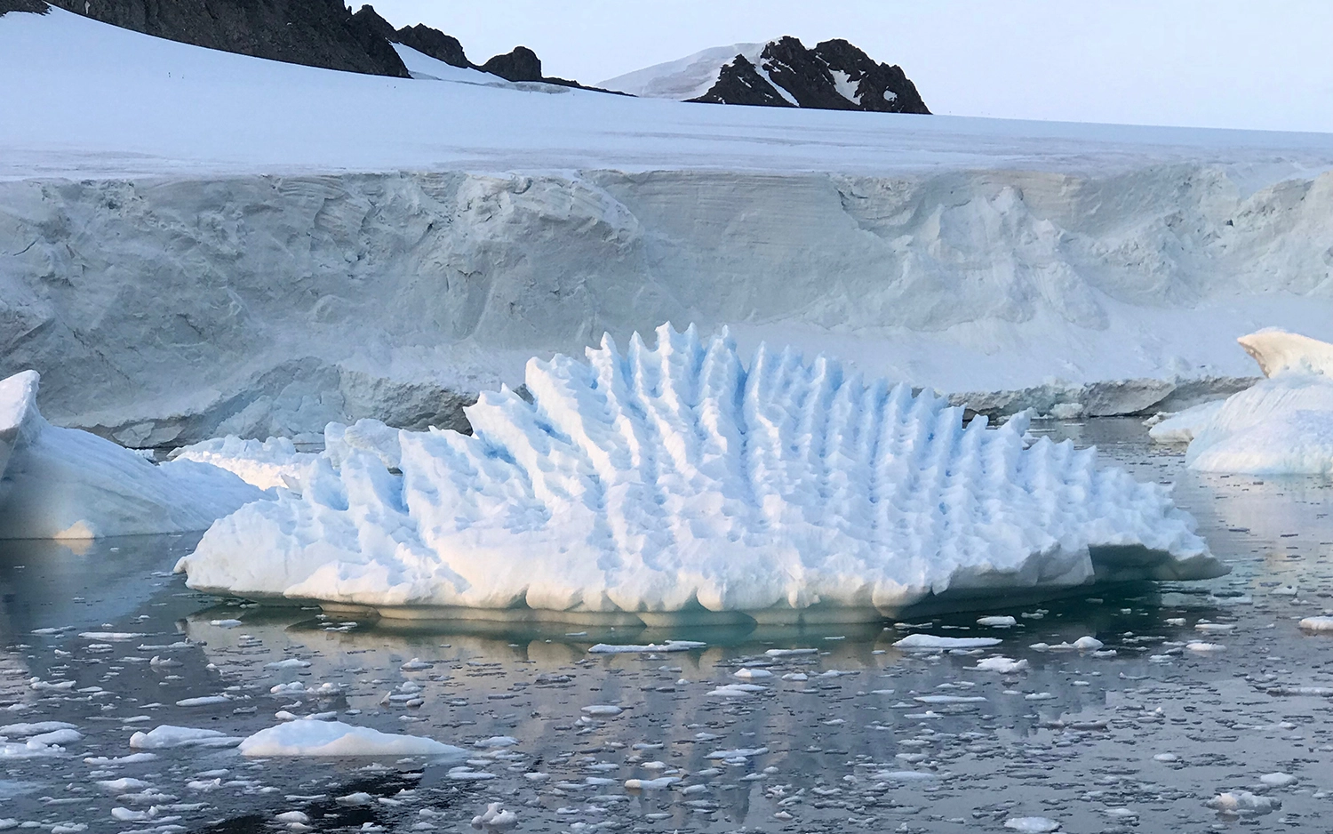
This map shows changes to the Antarctic ice sheet’s thickness from 1992 to 2017.
(Image credit: Shepherd et al 2019/Geophysical Research Letters/AGU)
Using these measurements, the researchers calculated the volume of Antarctica's ice mass separately from the fluctuating blankets of snowfall that accumulates and recedes in seasonal cycles, determining snowfall volume through computer simulations.
The scientists found that significant areas of the ice sheets across Antarctica showed signs of severe weakness, or "dynamical imbalance." This dynamical imbalance was most widespread in West Antarctica, destabilizing more than 160,000 square miles (415,000 square kilometers) of ice; and the lost mass wasn't being replenished by snowfall.
Sign up for the Live Science daily newsletter now
Get the world’s most fascinating discoveries delivered straight to your inbox.
In the Antarctic Peninsula — the spike of land that extends northward from West Antarctica — an estimated 6,900 square miles (17,900 square km) of ice is also dangerously unstable, as is about 22,000 square miles (57,000 square km) of ice in East Antarctica, according to the study.
"Knowing how much snow has fallen has really helped us to detect the underlying change in glacier ice within the satellite record," said lead study author Andy Shepherd, director of the Centre for Polar Observation and Modeling in the United Kingdom.
"We can see clearly now that a wave of thinning has spread rapidly across some of Antarctica's most vulnerable glaciers, and their losses are driving up sea levels around the planet," Shepherd said in a statement.
Since 1992, melting ice in Antarctica alone has led to sea-level rise of about 0.2 inches (5 millimeters). That may not sound like much, but with the pace of ice melt accelerating — and with Antarctica holding Earth's biggest reserve of frozen, landlocked water — the prospect of much greater sea-level rise is looming, the scientists wrote.
Mindy Weisberger is a science journalist and author of "Rise of the Zombie Bugs: The Surprising Science of Parasitic Mind-Control" (Hopkins Press). She formerly edited for Scholastic and was a channel editor and senior writer for Live Science. She has reported on general science, covering climate change, paleontology, biology and space. Mindy studied film at Columbia University; prior to LS, she produced, wrote and directed media for the American Museum of Natural History in NYC. Her videos about dinosaurs, astrophysics, biodiversity and evolution appear in museums and science centers worldwide, earning awards such as the CINE Golden Eagle and the Communicator Award of Excellence. Her writing has also appeared in Scientific American, The Washington Post, How It Works Magazine and CNN.

 Live Science Plus