It’s not often that an official hurricane forecast uses the word “surreal,” but that was the case late Monday as Tropical Storm Pali improbably became Hurricane Pali, the earliest hurricane ever recorded in the Central Pacific.
The out-of-season storm has benefited from unusually favorable conditions largely linked to the strong El Niño that also helped boost storm activity to record levels during the main storm season.
The official hurricane season in this basin is May 15 to Nov. 30, but when conditions are right, storms can, and have, formed outside of that typical timeframe. But winter storms are still rare, with only three having ever been recorded in the January to March period.
Latest Videos From
Pali became a tropical storm on Jan. 7, aided by El Niño-driven warm waters, as well as winds linked to El Niño and another feature called the Madden-Julian Oscillation. Those winds helped provide the storm with spin; most tropical cyclones spin because of the influence of the Coriolis force, but this force is very weak near the equator, which is where Pali formed.
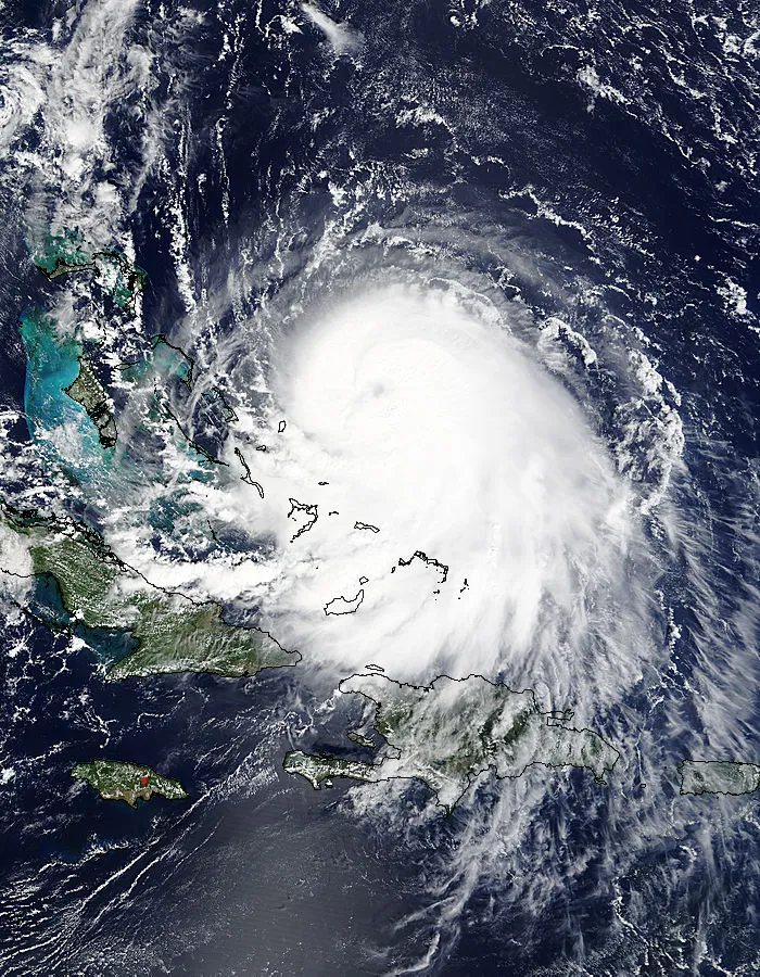
#Pali is the earliest hurricane on record in the North Central Pacific, breaking old record set by Ekeka (1/30). pic.twitter.com/VUiPC8EM5w
— Philip Klotzbach (@philklotzbach) January 12, 2016
After it formed, forecasters expected the storm to weaken, and it did, for a time.
“It got down to a minimal tropical storm strength,” Derek Wroe, a forecaster with the Central Pacific Hurricane Center in Hawaii, said.
But then, upper level winds that had been tearing at the storm relaxed “and then all of a sudden it redeveloped,” Wroe said.
On Monday, it strengthened sufficiently to reach hurricane status, leading the forecaster on duty to remark in the official forecast: “It is rather surreal to be saying this in January ... but the satellite presentation of Pali has continued to improve today.”
Pali is now the earliest hurricane to form in a calendar year, beating out Hurricane Ekeka, which became a hurricane on Jan. 30, 1992.
“Yet another record to stack on the ever-growing pile of recent records due in large part to the ongoing strong El Niño,” the forecaster said.
Pali is expected to hang on to its hurricane status through Thursday as it tracks southward toward the equator — a very unusual path for a storm to take in the region and yet another odd feature of the storm. Tropical cyclones normally head westward or northward in this region, Wroe said. “Due south like this is extraordinarily rare.”
The storm isn’t a threat to any land areas, so it can remain a scientific curiosity.
“It’s going to be interesting to watch what happens,” Wroe said.
Originally published on WXShift.com.

 Live Science Plus