What's an 'omega block,' and why is it messing with US weather right now?
A strange atmospheric pattern known as an "omega block" is preventing the usual eastward progression of weather across the U.S. — but what is this weird block, and when will it go away?

Get the world’s most fascinating discoveries delivered straight to your inbox.
You are now subscribed
Your newsletter sign-up was successful
Want to add more newsletters?
Join the club
Get full access to premium articles, exclusive features and a growing list of member rewards.
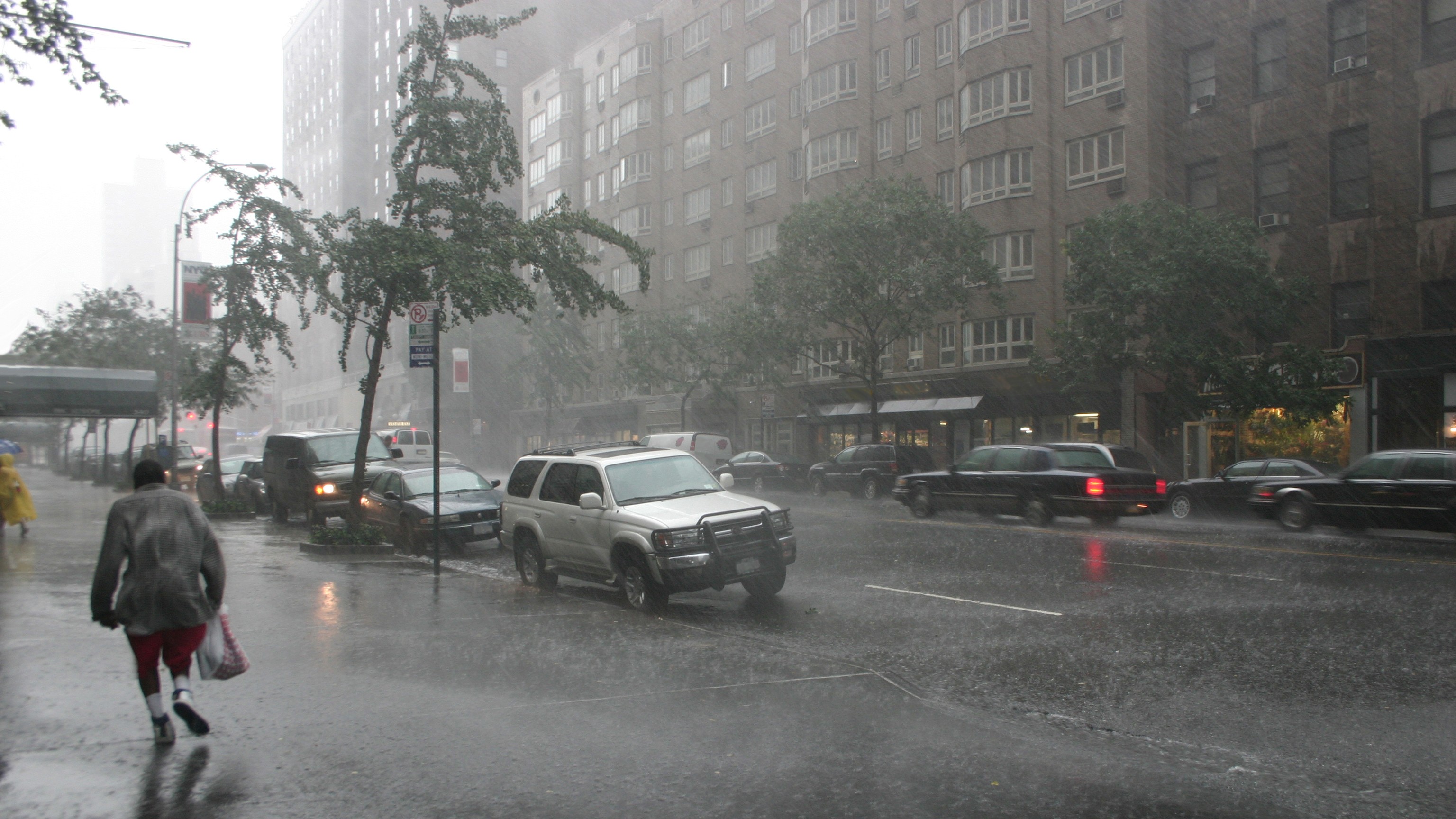
A congested atmospheric pattern known as an "omega block" has brought extreme downpours and thunderstorms to parts of the U.S. over the past week, with flood warnings issued Wednesday (May 7) for the southern coasts of Texas, Louisiana and Mississippi.
Abnormally wet and windy weather struck New England Saturday (May 3), The Washington Post reported, and storms rolled over the Rocky Mountains and southern Great Plains Monday (May 5) through Wednesday. While many Eastern, Southern and Western states have experienced adverse weather due to the omega block, conditions in the north-central U.S. have remained mild and clear due to the location of the block.
But what, exactly, is an omega block? And how might it affect weather conditions in the coming days?
An omega block is an atmospheric phenomenon in which a blob of high-pressure air remains trapped between two blobs of low-pressure air for a prolonged period. This sandwich configuration forces weather fronts that usually bring rain from west to east to move up and around the high-pressure area, forming an upside-down U shape that resembles the Greek letter omega. Because weather fronts bring moisture, the ground beneath the two low-pressure areas receives abundant rainfall, but the ground beneath the high-pressure area stays dry.
Related: La Niña is dead — what that means for this year's hurricanes and weather
"In meteorology, blocks are types of pressure patterns that upset the usual eastward progression of our weather," the U.K. Met Office explained in a YouTube video. "The blocks can remain in position for several days, which will lead areas under them to have similar weather for a prolonged period of time."
Currently, a blob of high-pressure air is hovering over the north-central U.S., leading to settled weather conditions and relatively warm temperatures there. By contrast, the East, the West and parts of the South are sitting beneath two blobs of low-pressure air, meaning they are experiencing downpours, thunderstorms and cooler temperatures this week. Omega blocks move very slowly, so these contrasting conditions could last until the weekend and perhaps beyond, meteorologists say.
Get the world’s most fascinating discoveries delivered straight to your inbox.
An "Omega Block" is expected to set up this weekend, which is a weather pattern made up of 2 low pressure systems & a high pressure system in the middle. For us, this means below average temperatures, cloudy and rainy conditions will linger through weekend#tnwx @foxnashville pic.twitter.com/MLqJjIHFkxMay 3, 2025
The role of the jet stream
Omega blocks occur when the jet stream — a fast-flowing air current that usually moves from west to east at an altitude of 5 to 7 miles (8 to 11 kilometers) above Earth's surface — starts to meander like a river. Strong winds within the jet stream may buckle and loop, slowing the current and making areas of low-pressure air closer to Earth's surface migrate unpredictably.
When these migrations happen, the jet stream can steer areas of low-pressure air around an area of high pressure, triggering an omega block. In general, low-pressure air leads to unsettled, cool weather conditions, while high-pressure air leads to more settled and milder conditions.
According to the U.K. Met Office video, a weak jet stream can also lead to another type of block — a "diffluent block" —where a blob of high-pressure air stagnates to the north of a blob of low-pressure air. As with omega blocks, the exact positioning of the high- and low-pressure blobs within a diffluent block determines the type of weather observed at Earth's surface.
Omega and diffluent blocks are most common in the spring but both can persist for several months around midsummer or midwinter, according to the Met Office.
An Omega Block is setting up, here's what that means for us! pic.twitter.com/at8pCkuB4iMay 3, 2025
Current forecasts
The current omega block is unlikely to budge before this weekend, and it could stay stuck even longer, an expert told USA Today.
Brian Hurley, a senior meteorologist with the National Weather Service's Weather Prediction Center, told the newspaper that although a temporary breakdown of the omega block could potentially occur, the atmospheric pattern would likely reinstate itself before the weekend and then persist through next week.
It's unclear when the omega block will break down for good, as it would require the jet stream to start flowing smoothly from west to east again, Hurley said. However, "we're not really seeing that now," he said.
There's also a remote chance that a second omega block could appear this week, according to The Washington Post, which would lock in yet more unruly weather.

Sascha is a U.K.-based staff writer at Live Science. She holds a bachelor’s degree in biology from the University of Southampton in England and a master’s degree in science communication from Imperial College London. Her work has appeared in The Guardian and the health website Zoe. Besides writing, she enjoys playing tennis, bread-making and browsing second-hand shops for hidden gems.
You must confirm your public display name before commenting
Please logout and then login again, you will then be prompted to enter your display name.
 Live Science Plus


