


Understanding Earth by Eavesdropping on Urban Noise
Researchers are tuning in to urban seismic noise, the man-made signals from human activity, to view geologic structures and track the rhythms of cities.
Until now, scientists often tossed away data containing the pesky vibrations created as humans scurry from one place to another. Urban seismic noise often plagues scientists who study earthquakes by overwhelming seismometers, the instruments that detect earthquakes. Because of this interference, these detectors are typically placed far from airports, train tracks and freeways in order to avoid the urban buzz.
"For seismologists, the focus was, 'If a train is passing, let's make sure we can remove those trains,'" said Nima Riahi, a researcher and seismologist at the Scripps Institution of Oceanography in La Jolla, California. [50 Interesting Facts About the Earth]
Now, scientists are returning to the city, tapping into the weak signals from trains, planes, cars and other human noise as a cheap alternative to more expensive surveying techniques, according to research presented last month (December 2014) at the American Geophysical Union's annual meeting in San Francisco. "This technology is still in its infancy, but the initial results are very promising," said Larry Brown, a seismologist at Cornell University in Ithaca, New York.
Brown and his students tested whether vibrations from cars and trains could be used to create an image of subsurface geology. They recorded seismic "body waves" (also known as P-waves) from traffic along a straight stretch of rural highway near Cornell.
Similar to how X-rays create medical CT images of the body, these seismic waves can be assembled into a 3D image of underground geologic structures. A second experiment was carried out in New Mexico's Rio Grande Rift, along the BNSF railway, which makes up one of the largest freight railroad networks in North America. Here, the scientists recorded surface waves to look at the shallow subsurface. "The trains are going all the time, so the cost of the source is free," Brown said.
The results were comparable to those from typical small-scale seismic surveys, which Brown and his students conducted at the same time for comparison. However, because the shaking from trains is of a higher frequency than explosion or earthquake sources, the resulting images of underground structures can be much more precise than standard techniques, Brown said.
Get the world’s most fascinating discoveries delivered straight to your inbox.
To peer underground, geologists often create their own shaking with vibrating trucks that pound the earth, or with small explosions or shotgun blasts. The cost of eavesdropping on urban noise is already significantly cheaper than these techniques, which can cost $20,000 per day, Brown said. It's also easier to get permission, he added. However, the cost of monitoring urban noise can also run high because scientists must space their seismometers close together — 80 feet (25 meters) apart, in some cases. For comparison, the USArray experiment, which created the best-ever subsurface map of the United States, used instruments spaced about 43 miles (70 kilometers) apart.
Listening in
Researchers have looked more closely at the seismic noise from natural events such as hurricanes, tornadoes and volcanoes than at human-caused vibrations. In part, this is because seismometers are located in quiet, rural areas. Yet the idea has been around for years, Brown said. "If we can reduce the cost, the technique will become extremely powerful and much more accessible," Brown said. Oil companies are already collecting the data for exploration activities, he added.
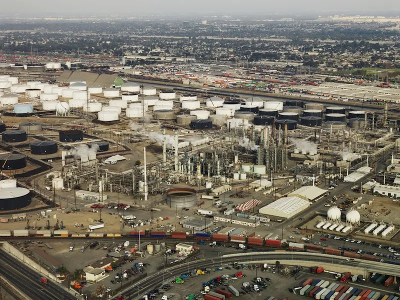
For example, a contractor surveyed the Long Beach Oil Field in California for Signal Hill Petroleum in 2011, setting out 5,300 closely spaced geophones (vibration sensors) for six months. The company has released the data to researchers from several universities for study.
Riahi discovered that the geophone network could track freeway traffic and planes at airports, as well as the Metro Blue Line train. "What was most surprising was how nicely it worked," Riahi said. "You can track the Metro [train] along its tracks, see how fast it goes from station to station and how long it's stopping."
While other techniques already exist for tracking traffic, trains and planes, Riahi sees vibrations as another potential tool. For instance, cameras fail when fog rolls in, and GPS can't distinguish vehicle types. "Our work doesn't show whether vibration sensors will be a cheaper or better alternative to existing methods, but it could be worthwhile to investigate," he told Live Science.
Follow Becky Oskin @beckyoskin. Follow Live Science @livescience, Facebook & Google+. Originally published on Live Science.
