Drastic changes to land and water wrought by climate change are forcing cartographers to redraw their maps of the world.
Evidence of the effects of human activities on the Earth's features--through climate change and construction efforts, such as irrigation projects—can clearly be seen in the new edition of The Times Comprehensive Atlas of the World, its editors say. (The atlas is one of the world's oldest and most authoritative atlases; the new edition was published on Sept. 3.)
"We can literally see environmental disasters unfolding before our eyes," said Mick Ashworth, editor-in-chief of the atlas. "We have a real fear that in the near future famous geographical features will disappear forever."
Latest Videos From
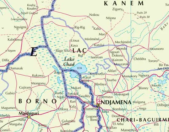
Shrinking lakes
Many of the changes the map-makers have had to make involve the shrinking of lakes and seas and changes to coastlines:
- The Aral Sea in Central Asia has shrunk by 75 percent since 1967 (before/after).
- Lake Chad in Africa has shrunk by 95 percent since 1963 (before/after).
- The Dead Sea is 82 feet (25 meters) lower than it was 50 years ago.
- Sections of the Rio Grande and Colorado rivers in North America, the Yellow River in Asia and the Tigris River in the Middle East now dry out in the summer and at some times of the year the rivers don't even reach the sea.
- The coastline of Bangladesh had to be redrawn because heavier monsoons and rising sea levels are causing more land to be lost to the ocean.
- Some Pacific Islands are also under threat from rising sea levels, including Kiribati, the Marshall Islands, Tokelau, Tuvalu and Vanuatu.
Melting ice, rising seas
Future editions of the atlas, which typically is researched by a team of more than 50 cartographers, will take into account changes in Arctic sea ice cover and other changes to lake, river, ocean and forest boundaries, as they are affected by the changing climate.
Experts with the atlas are keeping a close watch on the Inupiat village of Shishmaref, Alaska, where temperatures have steadily risen over the last three decades and the sea is encroaching at the rate of about 10 feet (3 meters) per year, which could make it the first U.S. community forced to move due to a warming climate, the atlas makers say.
Villages on the low-lying islands of southeast India and south Bangladesh, called the Sundarbans, are also at risk, and some of the islands have already disappeared under rising seas.
The new edition of the atlas also notes that 40 percent of the world's coral reefs have been destroyed or degraded in recent decades, and that more than 1 percent of tropical forest is cleared every year to make way for farmland.
On a more positive note, the atlas shows that 13 percent of the world's land surface is now within designated protected areas worldwide.

 Live Science Plus