


Dust Plumes Photographed Over Four Corners
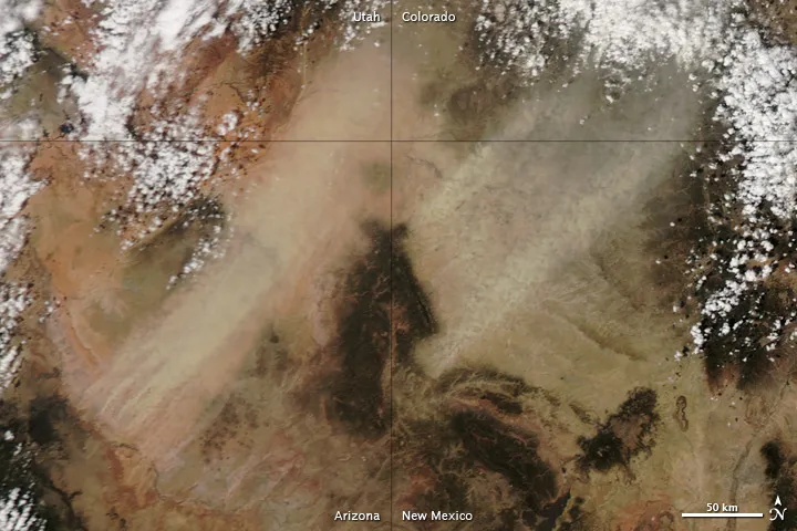
Dust plumes whipped up in the Four Corners region of the American West on April 16, 2013, as imaged by NASA's Aqua satellite.
(Image credit: NASA image courtesy Jeff Schmaltz, LANCE MODIS Rapid Response)
The Four Corners is a famous part of the American West, where the borders of Arizona, New Mexico, Colorado and Utah come together, and tourists enjoy it because they can place themselves in multiple states at the same time.
NASA's Aqua satellite caught dust plumes trying to do the same thing on April 16. The satellite's Moderate Resolution Imaging Spectroradiometer (MODIS) instrument took a snapshot of the plumes as they were whipped up over the desert region. One plume in northeastern Arizona and the other in northwestern New Mexico.

