Rare 'triple-dip' La Niña could bring another year of intense hurricanes and drought to the US
The cooler climate pattern is predicted to persist into a third winter.

Get the world’s most fascinating discoveries delivered straight to your inbox.
You are now subscribed
Your newsletter sign-up was successful
Want to add more newsletters?
Join the club
Get full access to premium articles, exclusive features and a growing list of member rewards.
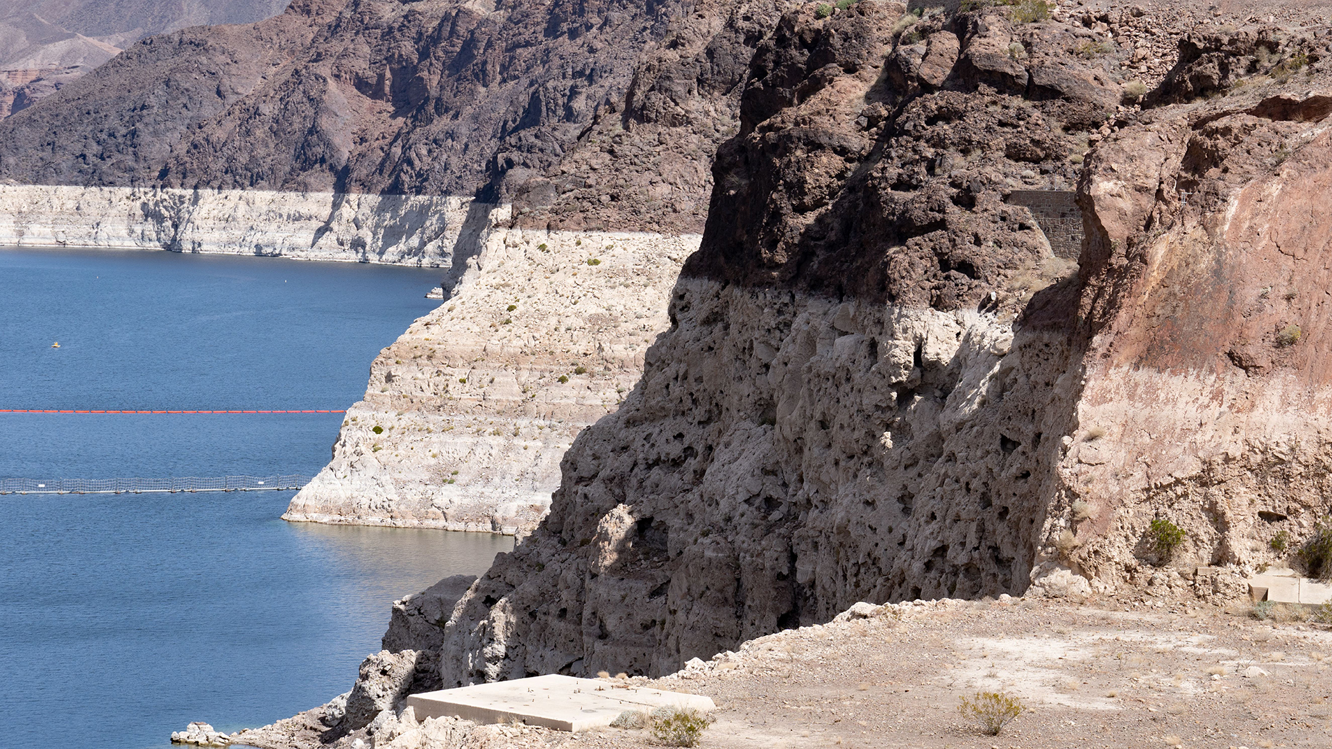
After two years of La Niña — El Niño's cooler counterpart — the South Pacific may be facing a potential third appearance of La Niña in a row, which could bring more rainfall to an already-saturated eastern Australia and continue the trend of intense hurricane seasons along the east coast of the United States, and drought conditions in the country's southwestern states.
This rare occurrence has "only happened twice since 1950," Zoe Gillett, a researcher at the Australia Research Council Centre of Excellence for Climate Extremes, told Live Science. But predicting La Niña is tricky, she warned; climatologists likely won't know which way the winds will blow until September.
If you live in the Northern Hemisphere, you're probably familiar with El Niño, the periodic Pacific Ocean warming event that takes place every few years and shapes global weather patterns. But you might be less familiar with its twin sister, La Niña. Both are part of a climate pattern known as the El Niño-Southern Oscillation (ENSO), which generates variations in weather conditions that last for months.
Article continues belowRelated: Hurricane season 2022: How long it lasts and what to expect
El Niño means "the Little Boy" in Spanish; it was so named in the 17th century by fishermen working off the coast of South America. The name was likely a reference to Jesus Christ, as the ocean temperature shift that accompanies El Niño is most noticeable in December, according to the National Oceanic and Atmospheric Administration (NOAA). Indigenous groups in South America almost certainly noticed the phenomenon as well, but their names for it did not survive colonization.
When El Niño conditions are active, sea surface temperatures are above average in the central and eastern tropical Pacific Ocean, according to the National Weather Service. As a result, trade winds across the Pacific weaken and worldwide rainfall patterns shift, bringing, for example, droughts to Indonesia and floods to Peru. This change lasts around nine to 12 months, after which the Pacific either settles back into an "ENSO-neutral" year — in which sea surface temperatures are neither higher nor lower than average — or flips into La Niña.
"La Niña events are essentially the opposite [of El Niño]," Gillett said. La Niña years are characterized by a sustained cooling effect around the equator and eastern tropical region of the Pacific caused by a shift in air pressure systems, according to NOAA’s Pacific Marine Environmental Laboratory. La Niña events bring a more active hurricane season to North America and can lead to heavy flooding in many Pacific Island nations, as well as droughts along South America's west coast.
Get the world’s most fascinating discoveries delivered straight to your inbox.
The ENSO climate pattern cycles through El Niño and La Niña events about every three to seven years. However, climatologists did not officially recognize La Niña ("the Little Girl") until the 1980s. While this ENSO pattern is persistent, it is notoriously difficult to predict, especially as it nears a fluctuation point, Science reported.
Unlike El Niño, La Niña can linger for multiple years. Both 2020 and 2021 were La Niña years, and as of right now, the phenomenon has a 52% chance of a three-peat, according to the National Climate Prediction Center. The last triple-dip for La Niña was more than two decades ago, from 1998 to 2001.
Experts say that escalating climate change will likely impact the intensity (though not necessarily the frequency) of future El Niño and La Niña events. "We should expect almost double the number of extreme La Niña events compared to last century," Gillett said. "However, we do have to interpret these climate models with care."
Originally published on Live Science.

Joanna Thompson is a science journalist and runner based in New York. She holds a B.S. in Zoology and a B.A. in Creative Writing from North Carolina State University, as well as a Master's in Science Journalism from NYU's Science, Health and Environmental Reporting Program. Find more of her work in Scientific American, The Daily Beast, Atlas Obscura or Audubon Magazine.
 Live Science Plus


