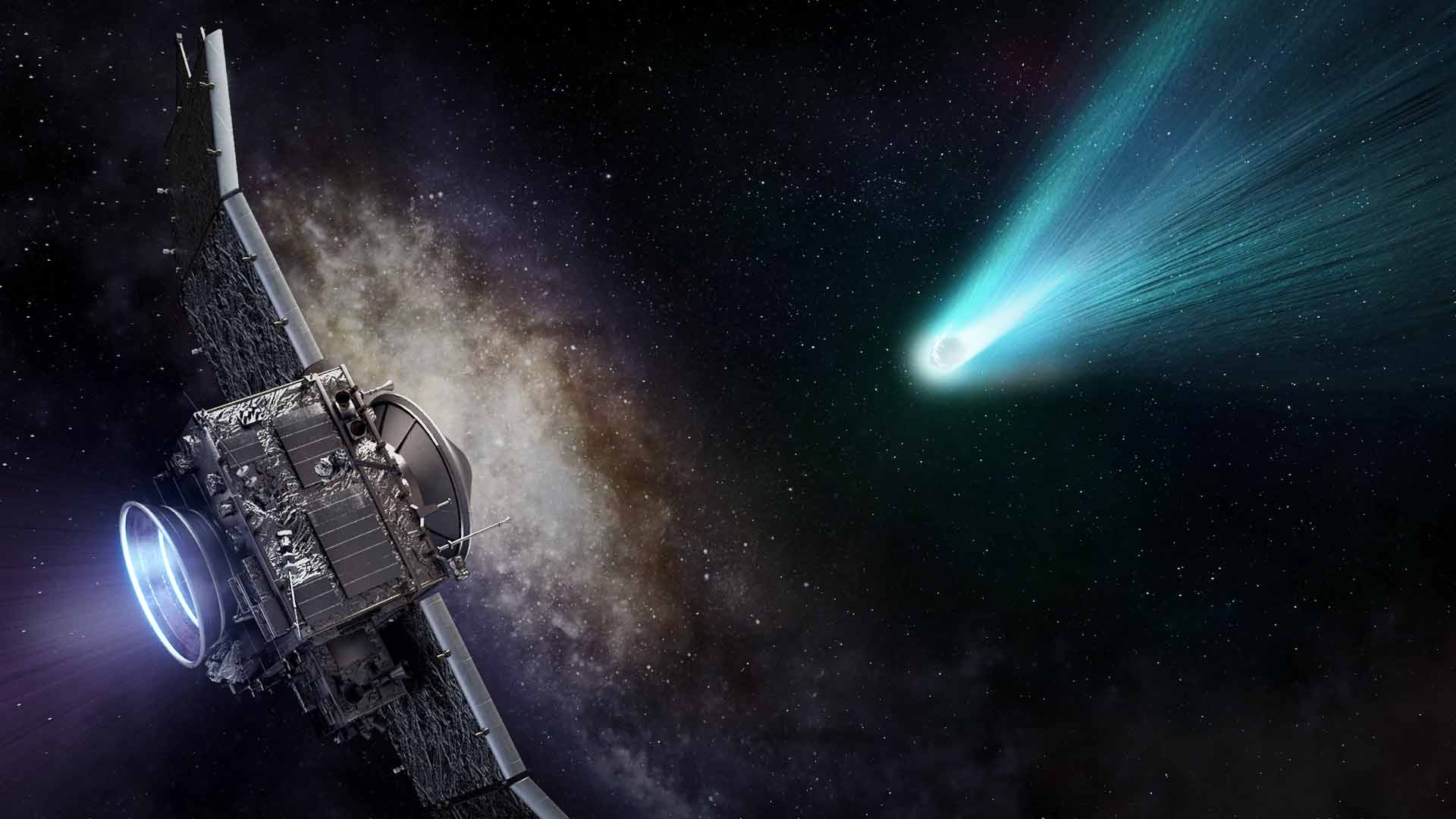
Space photo of the week — Extraordinary images of our sublime universe
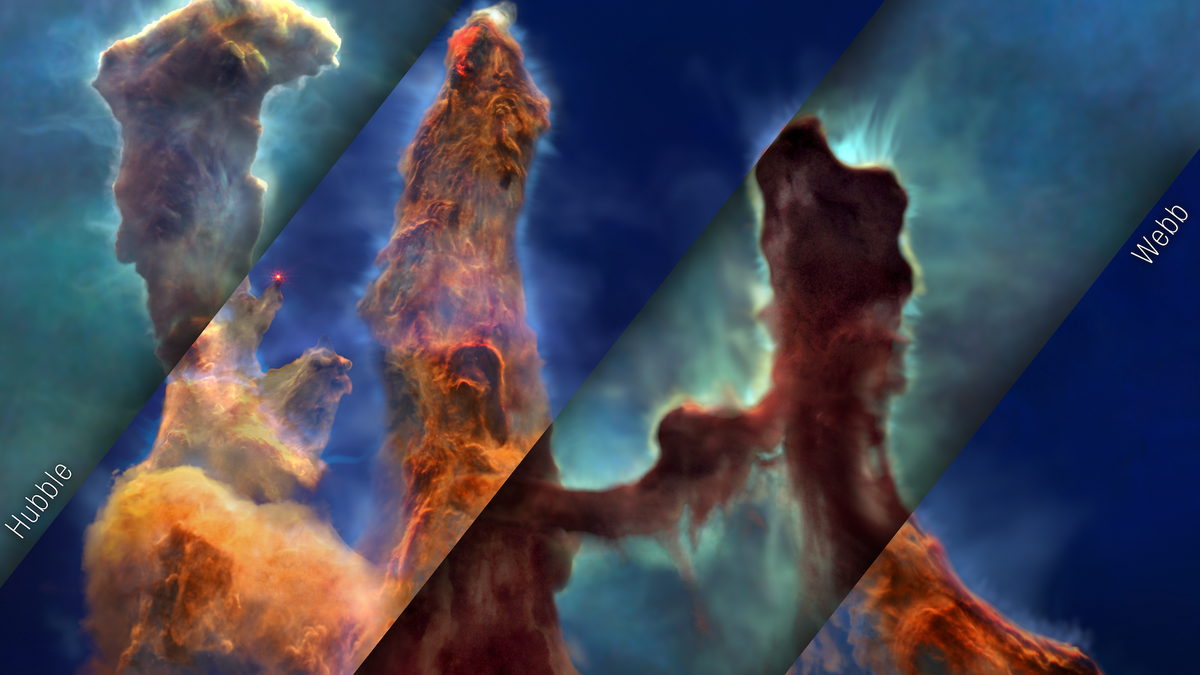
Space photos remind us that, around every corner of our vast universe, something spectacular awaits. From the newest James Webb Space Telescope images to historic photos of groundbreaking space missions, join us every Sunday as we explore the wonders of the universe, and humanity's place in it.
See more incredible space photos:
Latest about space photo of the week

Strange, 7-hour explosion from deep space is unlike anything scientists have seen — Space photo of the week
By Jamie Carter published
Astronomers used major telescopes across the world to probe a cosmic explosion 8 billion light-years from the solar system.

Ethereal structure in the sky rivals 'Pillars of Creation' — Space photo of the week
By Jamie Carter published
The twin telescopes of the Gemini Observatory mark 25 years of discovery as students name distant nebula Ua ʻŌhiʻa Lan.
Scientists map the shape of a supernova for the first time ever: Space photo of the week
By Shreejaya Karantha published
Astronomers using data from the Very Large Telescope (VLT) have revealed that the initial "breakout" phase of a supernova is elongated, not perfectly spherical.

Giant 'diamond ring' sparkles 4,500 light-years away in the Cygnus constellation — Space photo of the week
By Jamie Carter published
NASA's SOFIA observatory captured a rare image of a glowing gas ring in Cygnus X — a vast star-forming region 4,500 light-years away.

First Vera Rubin Observatory image reveals hidden structure as long as the Milky Way trailing behind a nearby galaxy — Space photo of the week
By Jamie Carter published
First-light images from the Vera C. Rubin Observatory have revealed a 163,000-light-year stream of stars emanating from the M61 galaxy, suggesting a violent past.

Unprecedented view of the Milky Way took 40,000 hours to construct — Space photo of the week
By Shreejaya Karantha published
Created using data from two extensive surveys, this spectacular radio image of the galactic plane of the Milky Way provides valuable insights into the birth and death of stars.
Webb reveals a fiery starburst in the Cigar Galaxy — Space photo of the week
By Jamie Carter published
The James Webb Space Telescope has revealed the blazing heart of an iconic nearby galaxy, where rapid star formation and galactic winds light up the cosmos in infrared light.
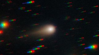
Interstellar object 3I/ATLAS is about to get very active — Space photo of the week
By Brandon Specktor published
The interstellar comet 3I/ATLAS is barreling toward its closest point to the sun as perihelion looms on Oct. 29. How different will it look when it reappears on the other side?
Get the world’s most fascinating discoveries delivered straight to your inbox.


