


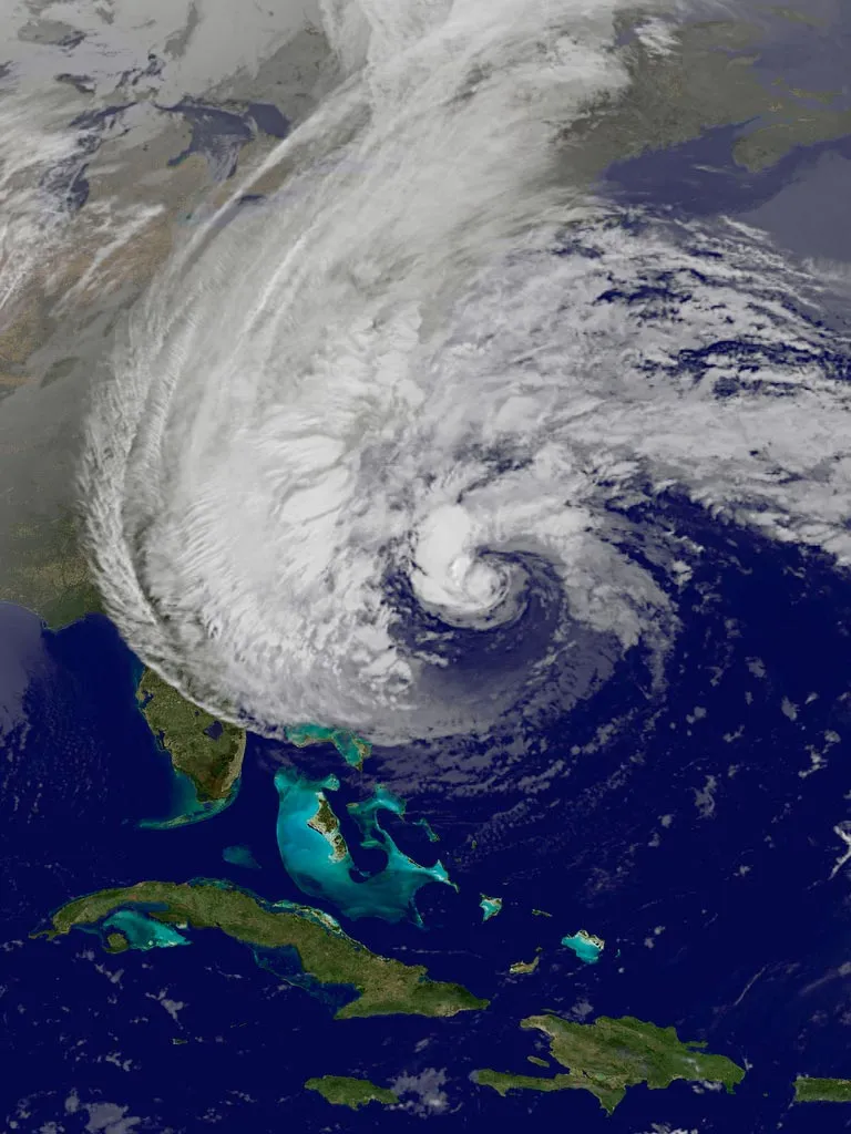
Hurricane Sandy: Photos of a Frankenstorm
Wreaking Havoc

A NASA satellite image of Hurricane Sandy on Oct. 25, 2012, as it moved toward the Bahamas after sweeping through Cuba and Haiti.
In Infrared

A colorized image from infrared bands captured from NASA's GOES East satellite showing Hurricane Sandy on Thursday, Oct. 25.
In Cyan

A panorama of images captured by NASA's MODIS satellite of Sandy off the U.S. eastern seaboard on Oct. 26, 2012.

Orbital Swath

A MODIS orbital swath of the eastern U.S. seaboard showing Hurricane Sandy in the wee hours of the morning on Oct. 27. Here, North and South are on the left and right, respectively.
Scary Swirl

Image of the eastern United States and Hurricane Sandy taken on Oct. 26, 2012, by NASA's GOES East satellite.
Still on the Move
A view of Hurricane Sandy from GOES East satellite on Sunday, Oct. 27.
Stormy Panorama

Panorama of MODIS images from the morning of 27 October 2012 showing Hurricane Sandy threatening the eastern seaboard of the United States. (MODIS, or Moderate Resolution Imaging Spectroradiometer, is a key instrument aboard the Terra (EOS AM) and Aqua (EOS PM) satellites. Terra's orbit around the Earth is timed so that it passes from north to south across the equator in the morning, while Aqua passes south to north over the equator in the afternoon.
Get the world’s most fascinating discoveries delivered straight to your inbox.
Fierce Winds

NOAA's GOES-13 satellite captured this visible image of Hurricane Sandy battering the U.S. East coast on Monday, Oct. 29 at 9:10 a.m. EDT. Sandy's center was about 310 miles south-southeast of New York City. Tropical Storm force winds are about 1,000 miles in diameter.
Hurricane Sandy's Cloud Remnants
This visible image from NOAA's GOES-13 satellite shows the remnant clouds from Sandy at 1:31 p.m. EDT on Nov. 2, 2012.
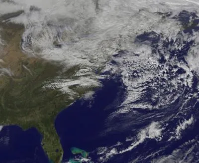
East Coast before Sandy hit

This image was taken on Aug. 31, 2012 before Sandy knocked out the power.
