It's quick and easy to access Live Science Plus, simply enter your email below. We'll send you a confirmation and sign you up for our daily newsletter, keeping you up to date with the latest science news.
As the ice-covered Barðarbunga volcano continues to rumble, Icelandic officials are scanning glaciers for signs of an eruption.
A volcanic blast could unleash a deluge of melted glacial ice into the surrounding area in what's known as an outburst flood, or jökulhlaup. Fearing that floodwaters could wipe out roads and bridges in Iceland's remote highlands, officials have already barred tourists from traveling in the region.
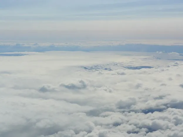
An intense swarm of small earthquakes began earlier this week around the Barðarbunga volcano, which has not erupted since 1794. On Wednesday (Aug. 20), the Icelandic Coast Guard flew over the volcano in an aircraft equipped with a synthetic aperture radar, or SAR, to image the vast Vatnajökull ice cap covering the volcano and the river Jökulsá á Fjöllum, which flows out of the ice cap north into the Greenland Sea. [See Photos of Iceland's Booming Barðarbunga Volcano]
During a flight aboard a TF-SIF aircraft, Iceland's Coast Guard bounced radar beams off the glacier covering the Barðarbunga volcano on Wednesday (Aug. 20). Radar images could reveal if the ice is shifting or melting as a result of seismic activity or an eruption.
(Image credit: Iceland's Coast Guard)
No signs of change were detected during Wednesday's reconnaissance flight. But if an eruption does occur, these baseline radar images could help Icelandic officials estimate the changes that might occur on the glacier and the resulting outburst floods, according to Iceland's Met Office.
Thousands of earthquakes have been recorded since seismic activity started suddenly in the region on Saturday morning (Aug. 16). Nearly 400 tremors were detected today alone (Aug. 22), the Met Office reported. The biggest recent quake to strike near Barðarbunga occurred just before midnight, measuring 4.7-4.8 in magnitude. The shaking has originated from two different areas: one to the east of the Barðarbunga caldera, and one at the edge of Dyngjujökull glacier.
The rumbling suggests magma, or molten rock, is pushing through underground fractures in the Earth's crust. Seismic and GPS data have already revealed that a 15.5-mile (25 kilometers) dyke, or vertical crack, is forming 3 to 6 miles (5 to 10 km) beneath the Dyngjujökull glacier — one of the outlet glaciers flowing from Vatnajökull, according to a report issued yesterday (Aug. 21) from Iceland's Met Office.
Iceland's Civil Protection Authority decided to the preemptively evacuate and close the remote highlands north of the Dyngjujökull glacier, which could be flooded in the event of an eruption. Though largely unpopulated, the area is home to waterfalls, lava fields and bowl-shaped calderas that attract tourists and hikers. (A map of the evacuated region can be found on the Civil Protection Authority's website.)
Sign up for the Live Science daily newsletter now
Get the world’s most fascinating discoveries delivered straight to your inbox.
Barðarbunga's seismic unrest has attracted global attention because past volcanoes in Iceland have had far-reaching consequences. The 2010 Eyjafjallajökull volcano eruption spewed a plume of ash that lingered over Europe, which closed airports, grounded thousands flights and resulted in $5 billion in losses to the world GDP, according to the U.S. Geological Survey.
Megan has been writing for Live Science and Space.com since 2012. Her interests range from archaeology to space exploration, and she has a bachelor's degree in English and art history from New York University. Megan spent two years as a reporter on the national desk at NewsCore. She has watched dinosaur auctions, witnessed rocket launches, licked ancient pottery sherds in Cyprus and flown in zero gravity. Follow her on Twitter and Google+.

 Live Science Plus