See the Severe Storm Walloping the East

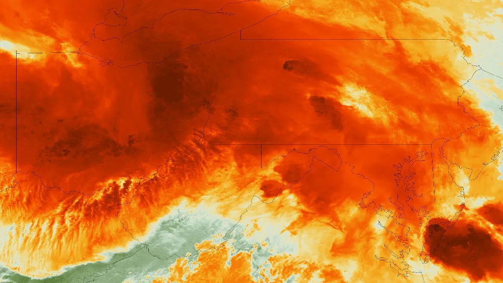
A severe weather system swept from the Midwest to the East from June 12-13, 2012. Overnight, the Suomi NPP satellite took an infrared image of the storm as it flew overhead.
(Image credit: NASA/NOAA)
After sweeping across the Midwest yesterday evening and overnight, a severe storm system has descended on the Mid-Atlantic and Northeast, bringing bolts of lightning and more rain to an already soaked region.
The Suomi NPP satellite snapped an infrared image of the raging storm when it passed overhead at 3 a.m. EDT today (June 13), just when the most intense parts of the system were reaching the spot where Ohio, West Virginia and Pennsylvania come together. The darker the red in the image, the more intense the part of the storm is.