The 21 largest recorded earthquakes in history
A handful of regions around the world regularly unleash terrifyingly large earthquakes. Here are the 21 largest earthquakes on record.
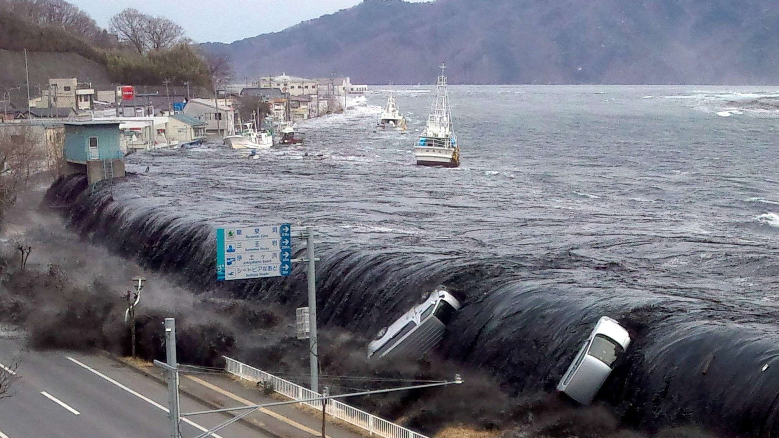
As the world's tectonic plates crash, grind and dive into one another, they release their pent-up energy in giant earthquakes that can rock the ground, trigger volcanic eruptions, move mountains and unleash tsunamis.
And since scientists figured out how to measure earthquake magnitude in the early 1900s, some truly massive quakes have shaken our planet. These are the monstrous "megathrust" earthquakes, the most powerful quakes in the world. A huge fraction of these earthquakes occurred in a handful of subduction zones along the seismically restless "Ring of Fire" in the Pacific, where tectonic plates dive beneath one another.
From the devastating Sumatran quake and tsunami of 2004 to a monstrous temblor in Siberia that, thankfully, killed no one, here are the 20 largest earthquakes ever recorded, according to the U.S. Geological Survey (USGS).
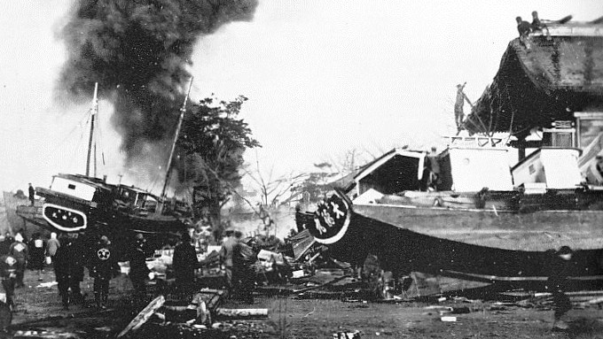
21. Sanriku-Oki, Japan; 1933; magnitude 8.4
A magnitude 8.4 quake struck near the Sanriku region of Japan on March 2, 1933, according to the USGS. The quake occurred about 180 miles (290 kilometers) offshore of Honshu, Japan.
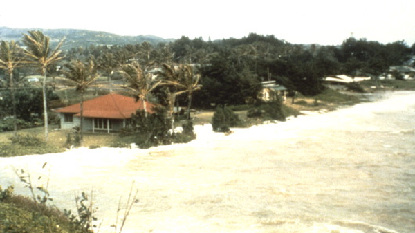
Most of the deaths resulted from the tsunami the quake generated, which swept away 3,000 homes and destroyed 2,000 others and generated nearly 100-foot (29 meters) waves in Honshu, Japan.
Several decades later, a magnitude 9.0 temblor would rock the same general region, causing the Tōhoku earthquake and tsunami of 2011.
This area is part of the Pacific Ring of Fire, a nearly 25,000-mile-long (40,000 km) horseshoe-shaped belt that is known for both earthquakes and volcanic activity. The ring fringes the boundaries of the Pacific Plate wherever it smashes into its neighboring plates; in the region around Tōhoku, the Pacific Plate is colliding with the North American Plate.
Get the world’s most fascinating discoveries delivered straight to your inbox.
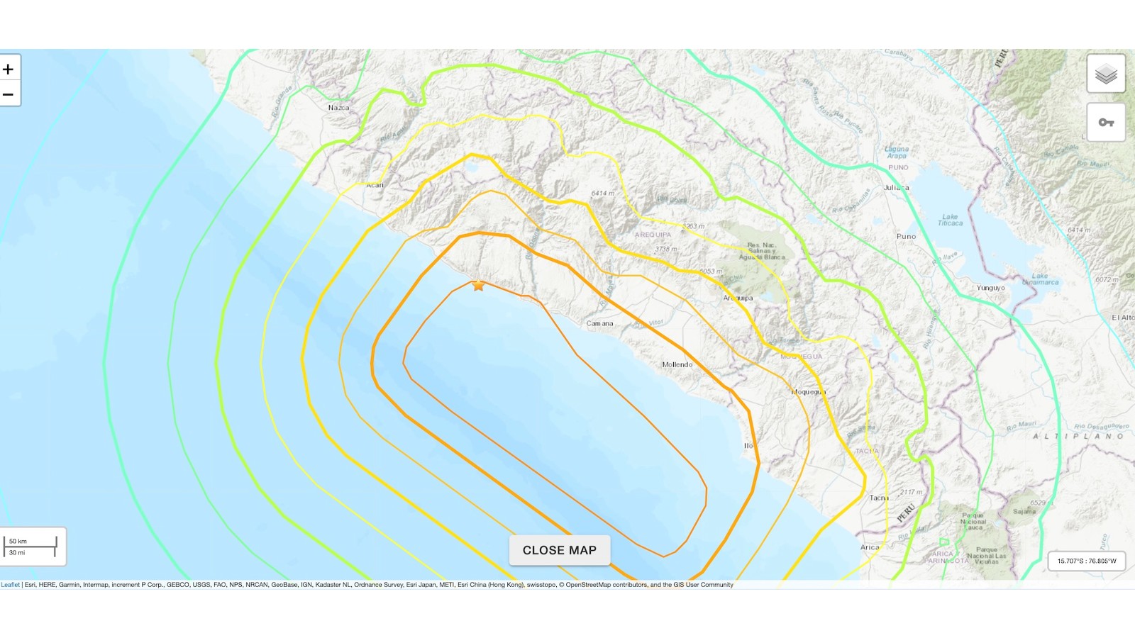
20. Arequipa, Peru; 2001; magnitude 8.4
A magnitude 8.4 earthquake struck 4 miles (6 km) from the coastal town of Atico, Peru, on June 23, 2001. At least 74 people were killed; more than a third of them were swept away by the resulting tsunami. More than 2,600 people were injured, and over 50,000 homes were damaged by the strong ground shaking.
The quake occurred at the boundary of the Nazca and South American plates, where the Nazca Plate is moving northeast at about 3 inches (78 millimeters) per year, smashing into and diving beneath the South American Plate, according to the USGS. Ground shaking as a result of the seismic activity was felt as far away as La Paz, Bolivia.
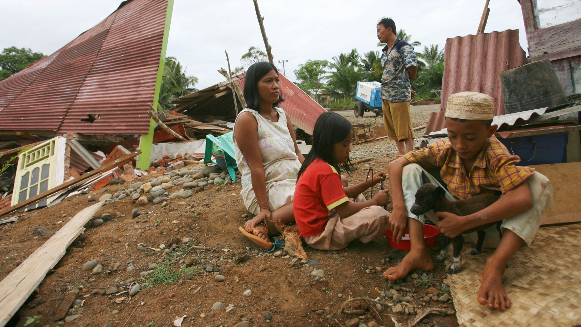
19. South of Sumatra, 2007, magnitude 8.4
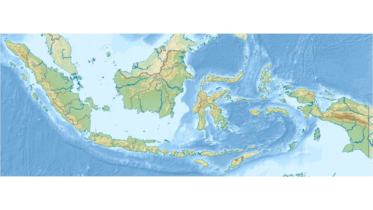
On April 12, 2007, a magnitude 8.4 earthquake struck approximately 76 miles (122 km) offshore of Bengkulu, Indonesia, on the island of Sumatra. The giant quake occurred due to thrust faulting on the boundary between the Sunda and Australian plates.
Around 25 people died, and more than 161 were injured. More than 20,000 buildings were damaged in the cities of Bengkulu and Sumatera Barat, according to the USGS.
The quake marked the fourth magnitude 7.9 or greater temblor to strike the general region that decade; the area was still actively remodeling itself after the monster quake that struck just after Christmas Day in 2004 (see #3).
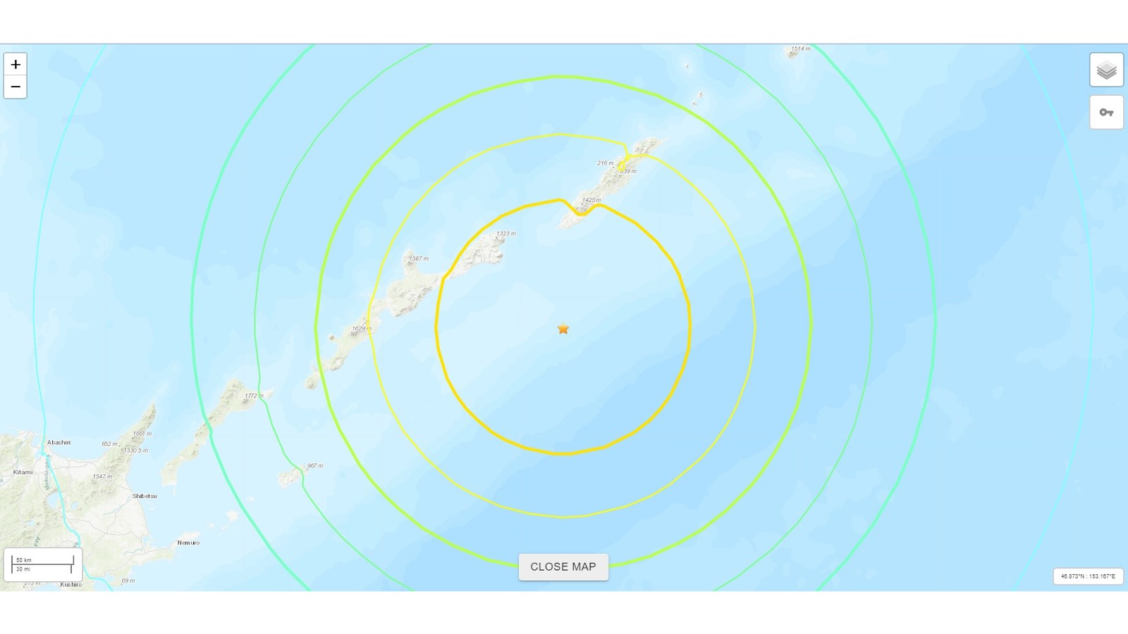
18. Near Kamchatka Peninsula, 1923, magnitude 8.4
Relatively little is known about the magnitude 8.4 quake that struck off the east coast of Kamchatka, Russia, on Feb. 3, 1923. The sparsely populated area of the Russian Far East sits near the Kuril-Kamchatka Trench, where the Pacific Plate is diving beneath the Okhotsk Plate, a teensy plate that was once thought to be part of the North American Plate.
No reported injuries or deaths occurred, but the quake triggered a modest tsunami, according to the USGS.
17. Kuril Islands, Russia; 1963; magnitude 8.5
Relatively little is known about the quakes that struck the remote Kuril Islands on Oct. 13, 1963. This volcanic archipelago stretches between Russia's Kamchatka Peninsula and Hokkaido, Japan.
No deaths, damage or injuries were reported as a result of this temblor, but it triggered a tsunami that reached the northern Pacific Ocean.
16. Atacama, Chile; 1922; magnitude 8.5
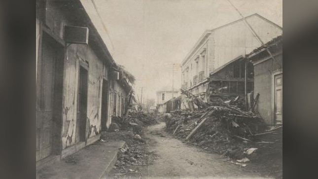
On Nov. 11, 1922, a massive magnitude 8.5 quake struck the Atacama Desert on the border of Argentina and Chile. Even though the epicenter of the earthquake was beneath land, the shaking was so strong that it triggered a tsunami that killed hundreds of people, according to news reports at the time.
15. Banda Sea, Indonesia; 1938; magnitude 8.5
On Feb. 1, 1938, a magnitude 8.5 quake rocked the seafloor about 88 miles (141 km) northwest of Tual, Indonesia. Despite the strength of this temblor, the damage was fairly minor.
Residents of the Banda and Kai islands felt the tremors, while in the city of Tual, glassware broke and a pendulum stopped.
14. Unimak Island, Alaska; 1946; magnitude 8.6
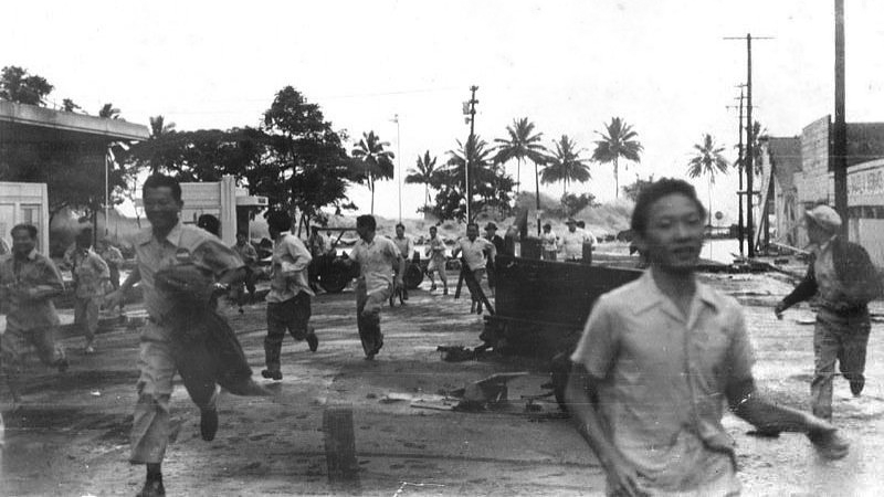
A magnitude 8.6 quake struck Unimak Island on April 1, 1946. Despite its large size, the quake did not destroy any buildings. However, it triggered a 115-foot-high (35 m) tsunami that swept away a lighthouse, along with its five occupants, according to the USGS.
When the tsunami reached Hilo, on the Big Island of Hawaii, it swept away 159 people and caused $26 million in property damage.
Unimak Island is one of the Aleutian Islands, which sit on the restive Ring of Fire, just like many of the other regions struck by large quakes on this list.
13. Andreanof Islands, Alaska; 1957; magnitude 8.6
The quake that struck off of the Andreanof Islands, part of the Aleutian Islands, on March 9, 1957, registered a magnitude 8.6. The quake occurred about 53 miles (86 km) southeast of Adak, Alaska, a tiny village of a few hundred people and the state's southernmost town.
No one was killed, but the quake destroyed two bridges, created a meters-long crack in one road in Adak and damaged houses.
The quake also generated a 49-foot-high (15 m) tsunami that slammed into the nearby Scotch Cap lighthouse, as well as a 26-foot-high (8 m) tsunami that washed away oil lines in Sand Bay. The tsunami then traveled to Hawaii, where it destroyed two villages, and to San Diego, where it also damaged some property.
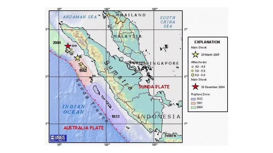
12. Northern Sumatra, Indonesia; 2005; magnitude 8.6
The area around Sumatra is a seismically active one, with the Indonesian island sitting astride the volcanically active Pacific Ring of Fire.
That seismically unsettled region, where the Australian Plate and Sunda Plate meet, unleashed a massive amount of energy on March 28, 2005, when a magnitude 8.6 quake struck 48 miles (78 km) west of Singkil, at a depth of 18 miles (30 km). More than 1,300 people were killed, another 340 were injured and hundreds of buildings were destroyed, mostly on the island of Nias. The quake was felt as far away as India and Sri Lanka.
The earthquake occurred because the Australian Plate is moving to the northeast at a rate of 2 inches (50 millimeters) per year and is diving into the mantle at the Sunda Trench. According to the USGS, the massive quake was unleashed in the aftermath of the massive Indian Ocean earthquake of 2004 as the faults in the region continued to adjust to that seismic shift.
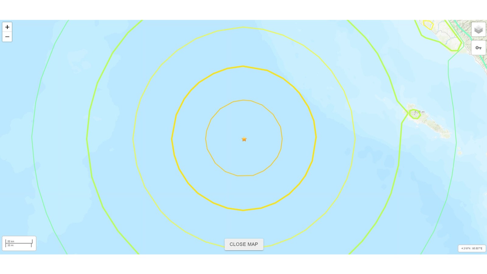
11. Off the west coast of northern Sumatra, 2012, magnitude 8.6
On April 11, 2012, a magnitude 8.6 temblor struck off the coast of northern Sumatra. Because it struck a few hundred miles off the coast, it was felt as strong shaking in only a few population centers, such as Banda Aceh and Meulaboh, Indonesia. It caused only light structural damage in those metropolitan regions, according to the USGS. Light shaking could be felt as far away as Mumbai, India, and Broome, Australia.
Two people were killed directly by the quake, eight died of heart attacks and 12 were injured.
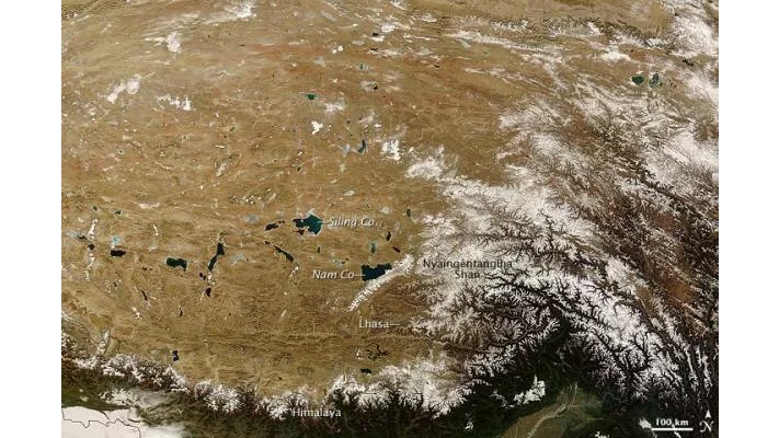
10. Assam-Tibet, 1950, magnitude 8.6
At least 1,500 people died across eastern Tibet and Assam, India, when this temblor shook the region on Aug. 15, 1950. Ground cracks, large landslides and sand volcanoes struck the area. The quake was felt in China's Sichuan and Yunnan provinces, and as far away as Kolkata, India.
The quake caused large landslides that blocked rivers. When the rivers finally burst through the walls of debris, waves inundated several villages and killed hundreds of people.
This quake is commonly called the Assam-Tibet earthquake or the Assam earthquake, even though the epicenter was in Tibet. The quake struck at the intersection of the most vigorous collision of continental plates on the planet, where the Indian Plate smashes into the Eurasian Plate and dives beneath it. The slow-motion crash helped create the massive Himalayas.
9. Rat Islands, Alaska; 1965; magnitude 8.7
Alaska had been a state for only six years when this huge earthquake triggered a tsunami over 30 feet (10 m) high on Feb. 4, 1965. Despite its size, the quake caused little damage due to its remote location at the tip of the Aleutian Islands. The tsunami was reported in Hawaii and spread as far as Japan.
The temblor was the result of the Pacific Plate diving beneath the North American Plate at the Alaska-Aleutian megathrust, which has been the location of many megathrust earthquakes.
The quake cracked wood buildings and split an asphalt runway. Hairline cracks also formed in the runways at the U.S. Coast Guard's Loran Station.
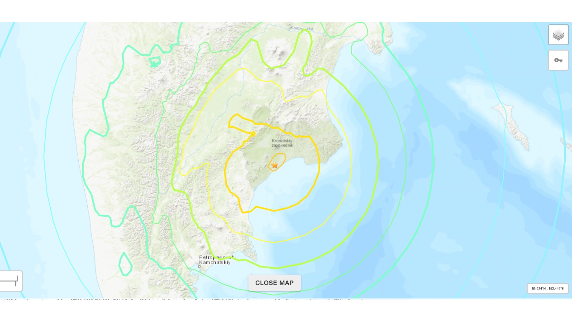
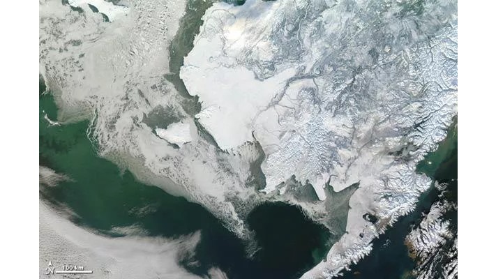
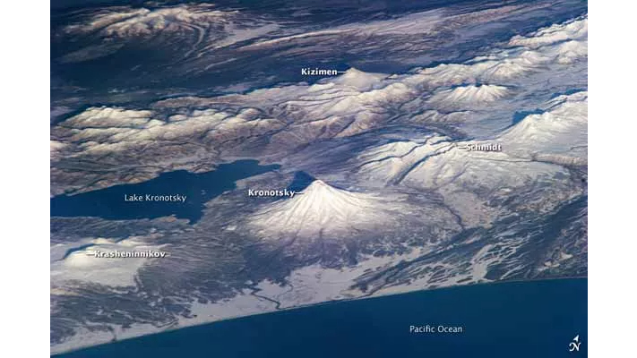
8. Kamchatka Peninsula, Russia; 2025; magnitude 8.8
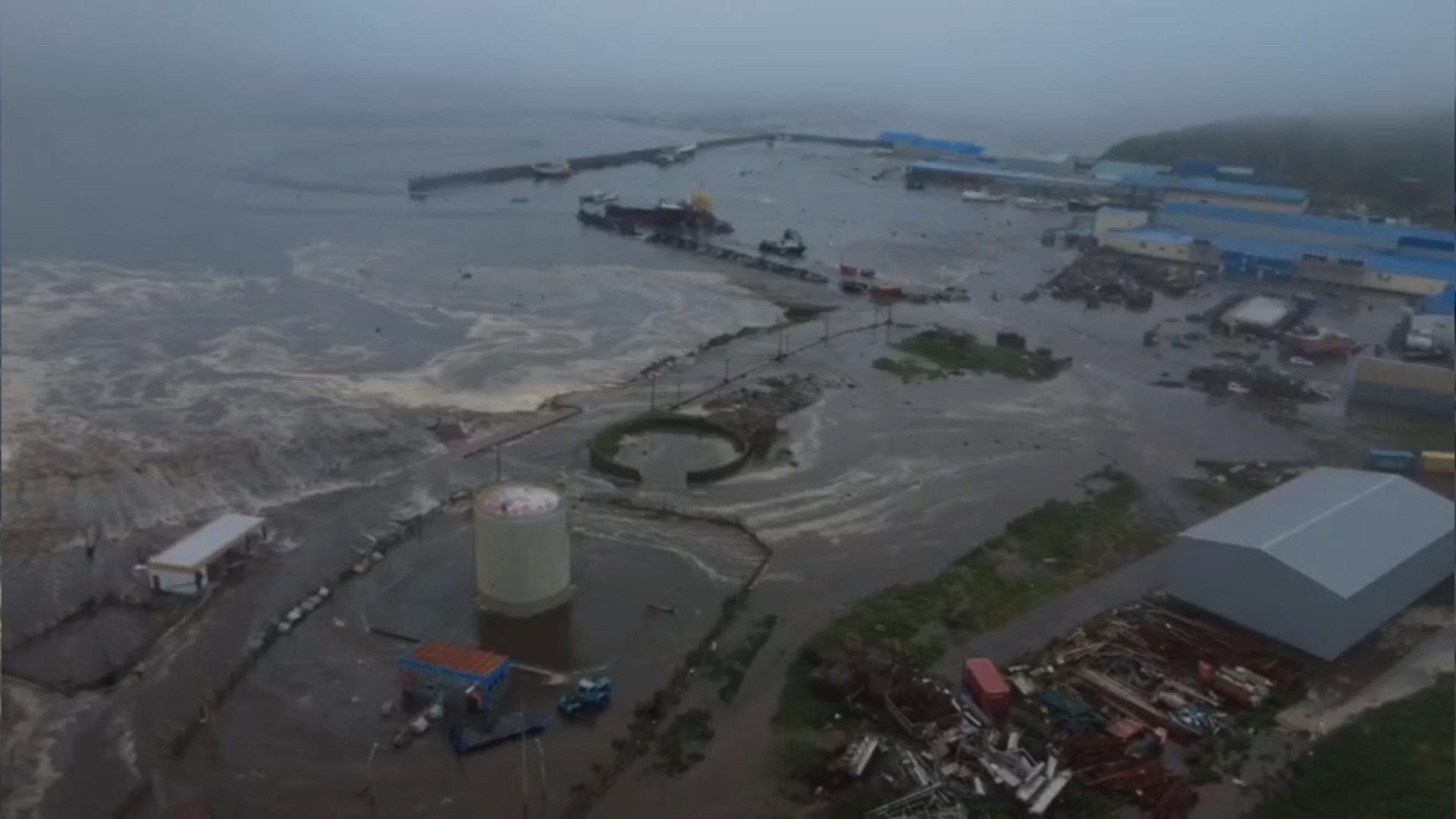
On July 29, 2025, a magnitude 8.8 earthquake struck approximately 40 miles (60 km) from Russia's Kamchatka Peninsula, at a depth of 12.8 miles (20.7 km). The earthquake generated multiple tsunamis, with warnings issued in regions across the Pacific, including North America, South America, Japan, Russia and Pacific island nations.
The earthquake occurred when the Pacific plate rubbed against the North American plate. According to the USGS, the likely cause was a slip over a large fault area. It was the largest earthquake since 2011's magnitude 9 Tohoku earthquake in Japan.
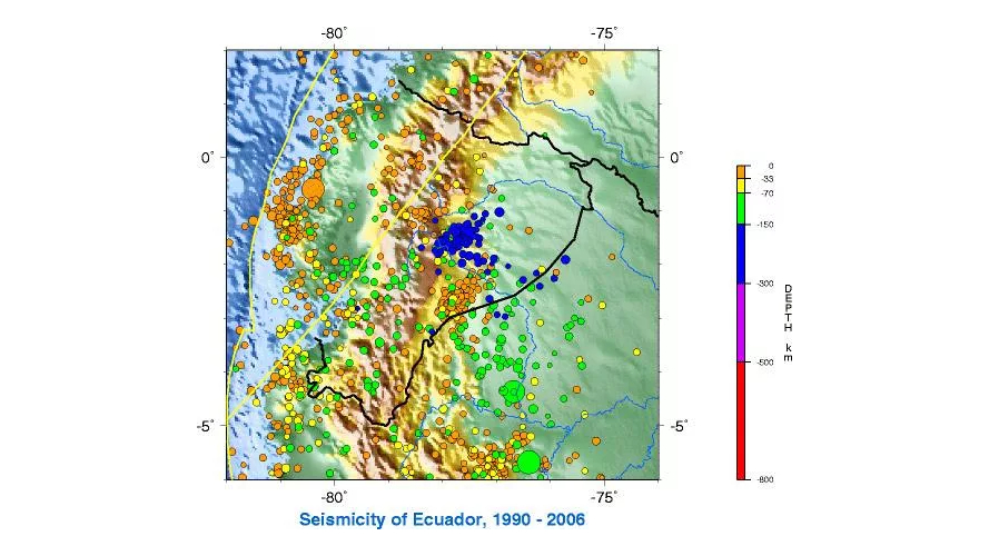
7. Off the coast of Ecuador, 1906, magnitude 8.8
On Jan. 31, 1906, a catastrophic magnitude 8.8 earthquake hit off the coast of Ecuador and Colombia and generated a strong tsunami that killed 500 to 1,500 people. The tsunami spread along the coast of Central America, and even lapped at the shorelines in San Francisco and Japan.
The earthquake occurred along the boundary between the Nazca Plate and the South American Plate. Because it hit more than 100 years ago, reports are spotty. But according to the USGS, witnesses reported a huge rush of water in Honolulu Bay. All the steam and sailboats in the bay were turned around, and then a sudden flood tide roared inland.
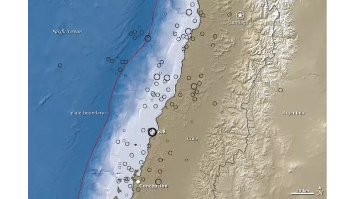
6. Offshore Maule, Chile; 2010; magnitude 8.8
On Feb. 27, 2010, an earthquake and tsunami hit central Chile. At least 500 people were killed and 800,000 were displaced by the natural disaster. More than 1.8 million people were affected, and the total economic loss was estimated at $30 billion.
Like many other quakes on this list, this temblor took place along the seismically active boundary between the Nazca and South American tectonic plates, which can release bone-shatteringly strong shaking.
The quake hit just over a month after the disastrous magnitude 7.0 quake in Port-Au-Prince, Haiti, which killed more than 200,000 people.
5. Kamchatka Peninsula, Russia; 1952; magnitude 9.0
The world's first recorded magnitude 9.0 earthquake struck off the east coast of Kamchatka on Nov. 4, 1952. The quake generated a 43-foot (13 m) tsunami locally. The tsunami rocked Crescent City, California.
No one died, but in Hawaii, property damage was estimated at up to $1 million ($11.12 million in today's dollars). The waves tossed boats onto the beach, caused houses to collide, destroyed piers, scoured beaches and moved road pavement.
4. Tōhoku, Japan; 2011; magnitude 9.1
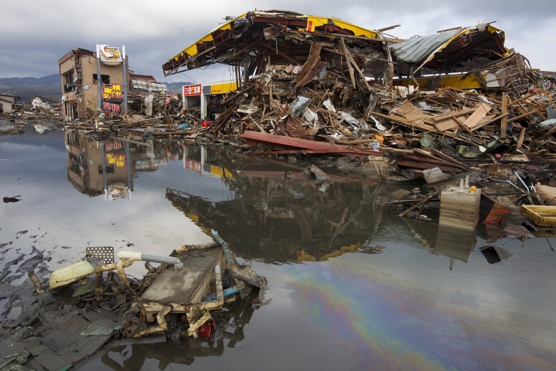
On March 11, 2011, a magnitude 9.1 quake triggered a tsunami that left more than 15,700 people dead, more than 4,600 missing, over 5,300 injured and more than 130,900 displaced, according to the USGS. More than 332,000 buildings, 2,100 roads, 56 bridges and 26 railways were damaged as a result of the quake. The quake also damaged nuclear reactors at the Fukushima Daiichi Nuclear Power Plant, leading to one of the biggest nuclear disasters in history. This earthquake was the largest ever recorded in Japan, and cost an estimated $309 billion in damage.
For weeks afterward, strong aftershocks above magnitude 6.0, and even 7.0, continued to rock the region, and the quake sent tsunami waves as far as Hawaii, California and the Galapagos Islands. Even in distant Antarctica, the quakes cracked large slabs of ice from the Sulzberger Ice Shelf, according to the USGS.
The quake was caused by thrust faulting near the Japan Trench, the boundary between the Pacific and North American plates.
3. Sumatra-Andaman Islands, 2004, magnitude 9.1
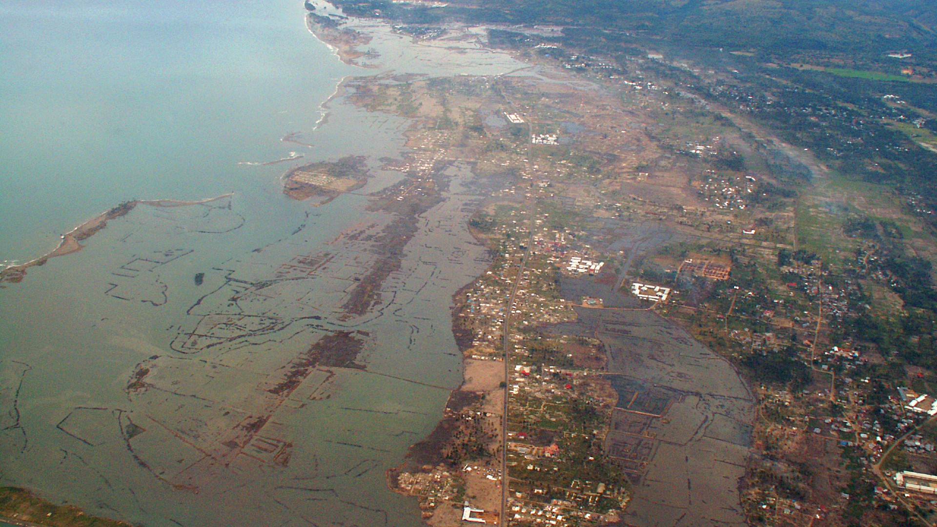
This quake was the third-largest earthquake in history and the largest since the 1964 earthquake in Prince William Sound, Alaska (see #2). In total, nearly 300,000 people were killed or presumed dead, and about 1.2 million people were displaced by the earthquake and subsequent tsunami in 10 countries in Southeast Asia and East Africa.
Extremely strong shaking was felt in Banda Aceh, but the deadliest aspect of this quake was the resulting tsunami, which caused more deaths than any other in recorded history up to that point. The tsunami was recorded nearly worldwide on tide gauges in the Indian, Pacific and Atlantic oceans.
The massive quake struck one day after Christmas along the interface of the Indian and Burma tectonic plates and was caused by the release of stress that developed as the Indian Plate dived beneath the Burma microplate. The massive fault zone, which was offshore, was as long as California, according to the USGS.
2. Prince William Sound, Alaska; 1964; magnitude 9.2
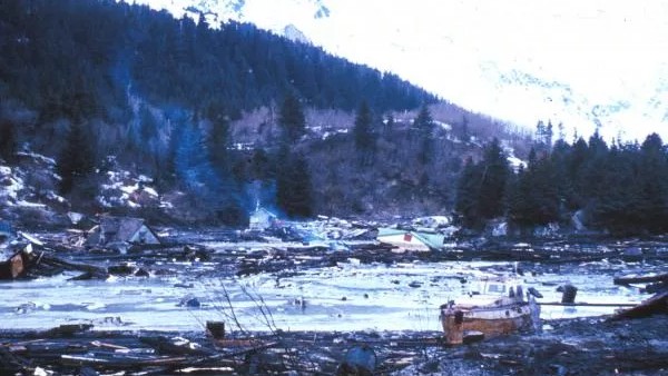
This great earthquake and ensuing tsunami took 128 lives and caused about $311 million in property loss. The earthquake damage was heavy in many towns, including Anchorage, which was about 75 miles (120 km) northwest of the epicenter. The quake, which struck on March 27, 1964, ruptured along a seismically active fault between the North American and Pacific plates. The shaking lasted about 3 minutes.
Landslides in Anchorage caused heavy damage. Huge slides occurred in the downtown business section, and water mains and gas, sewer, telephone and electrical systems were disrupted throughout the area.
1. Valdivia, Chile; 1960; magnitude 9.5
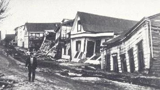
Approximately 1,655 people died in the largest earthquake ever recorded, which struck Valdivia, Chile, on May 22, 1960. Thousands more were injured, and millions were left homeless. Southern Chile suffered $550 million in damage.
The quake triggered a tsunami that killed 61 people in Hawaii, 138 in Japan and 32 in the Philippines.
The earthquake struck where the Nazca Plate dives underneath the South American Plate, on the Peru-Chile Trench.
Editor's Note: This article was originally published on 2012.

Tia is the editor-in-chief (premium) and was formerly managing editor and senior writer for Live Science. Her work has appeared in Scientific American, Wired.com, Science News and other outlets. She holds a master's degree in bioengineering from the University of Washington, a graduate certificate in science writing from UC Santa Cruz and a bachelor's degree in mechanical engineering from the University of Texas at Austin. Tia was part of a team at the Milwaukee Journal Sentinel that published the Empty Cradles series on preterm births, which won multiple awards, including the 2012 Casey Medal for Meritorious Journalism.
You must confirm your public display name before commenting
Please logout and then login again, you will then be prompted to enter your display name.
