 Live Science Plus


What Caused Iran's Deadly Earthquake?
You are now subscribed
Your newsletter sign-up was successful
Want to add more newsletters?

Delivered Daily
Daily Newsletter
Sign up for the latest discoveries, groundbreaking research and fascinating breakthroughs that impact you and the wider world direct to your inbox.

Once a week
Life's Little Mysteries
Feed your curiosity with an exclusive mystery every week, solved with science and delivered direct to your inbox before it's seen anywhere else.

Once a week
How It Works
Sign up to our free science & technology newsletter for your weekly fix of fascinating articles, quick quizzes, amazing images, and more

Delivered daily
Space.com Newsletter
Breaking space news, the latest updates on rocket launches, skywatching events and more!

Once a month
Watch This Space
Sign up to our monthly entertainment newsletter to keep up with all our coverage of the latest sci-fi and space movies, tv shows, games and books.

Once a week
Night Sky This Week
Discover this week's must-see night sky events, moon phases, and stunning astrophotos. Sign up for our skywatching newsletter and explore the universe with us!
Join the club
Get full access to premium articles, exclusive features and a growing list of member rewards.
Crashing continents caused today's (April 9) deadly earthquake in Iran, which killed dozens, according to news reports.
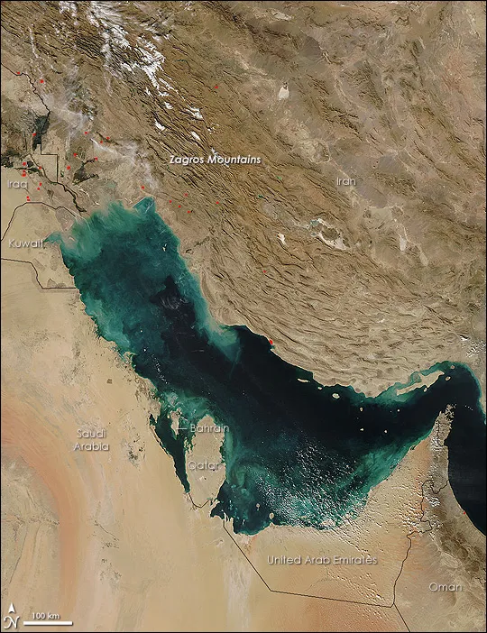
The magnitude-6.3 Iran earthquake hit in the southern Zagros Mountains, a stunning range that marks the boundary between the Arabian and Eurasian tectonic plates, said Bill Barnhart, a research geophysicist at the U.S. Geological Survey's (USGS) Denver office. The Arabian plate is grinding northward at about 0.4 inches (10 millimeters) a year, pushing the boot-shaped Arabian peninsula into the Eurasian plate, which covers most of Europe and Asia.
Today’s quake was a thrust fault earthquake, meaning the ground on one side of the fault moved vertically up and over the other side, shortening the distance between the two sides. The epicenter was 55 miles (89 kilometers) southeast of Bushehr, the city where Iran's only nuclear power station is located. The quake originated 6.2 miles (10 km) below the Earth's surface and struck at 4:22 p.m. local time (7:52 a.m. EDT), the USGS reported.
The magnitude-6.3 earthquake was not unusual for southwestern Iran.Thanks to the region's long historical record, scientists know temblors along the plate boundary typically range from magnitude 5.5 to 6.3, Barnhart said. And small earthquakes ranging from magnitude 4 to magnitude 5 frequently shake the region. "Earthquakes are very, very common here," he said. [Video: What Does Earthquake Magnitude Mean?]
But poor construction means these magnitude 6 quakes are often very destructive. "When these moderate earthquakes happen close to cities, they're not prepared for this level of shaking. That's why Bam was so destructive and deadly," Barnhart said, referring to the huge earthquake that struck the historic city in 2003.

In 2003, some 26,000 people were killed by a 6.6 magnitude quake that flattened Bam, located about 400 miles (650 km) east of today's earthquake. The Bam earthquake was a strike-slip, meaning the ground on either side of the faults moved mostly horizontally, as California's San Andreas fault does.
The Zagros Mountains are known for their unusual rock formations, including ancient salt layers that formed in the Precambrian Era, before complex life appeared in Earth's fossil record. As the tectonic plates have slammed into each other, contorting the mountains, the salt layers have pushed to the surface like toothpaste from a tube, forming salt domes and salt glaciers called namakiers.
Email Becky Oskin or follow her @beckyoskin. Follow us @OAPlanet, Facebook or Google+. Original article on LiveScience's OurAmazingPlanet.

