


NASA Drone Will Fly Into Hurricanes to Look at Lightning
Lightning strikes are known to increase as swirling tropical cyclones change in intensity, but whether the flashes are a signal of an impending monster hurricane, or a sign of a fizzling storm, has eluded researchers for decades.
To make the connection between lightning and intense hurricanes, NASA scientists will attempt a first-of-its-kind research mission. Three aircraft, including an unmanned drone, will fly over tropical cyclones (the generic name for tropical storms and hurricanes) in the Gulf of Mexico, Atlantic Ocean and Caribbean Sea during the agency's first major U.S.-based hurricane field campaign since 2001.
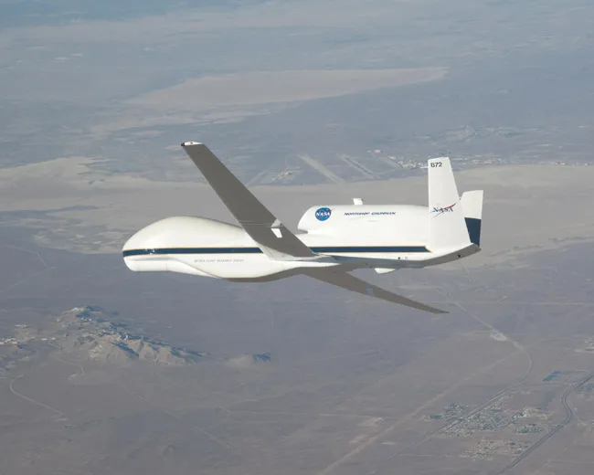
While all three aircraft will gather crucial data, the remotely piloted Global Hawk airplane — the same drone model flown by the U.S. Air Force — is the main event, so to speak. The Global Hawk can fly for up to 20 hours and will carry what's known as the Lightning Instrument Package (LIP), a high-tech flight instrument that will track and document lightning as hurricanes develop and intensify.
LIP has flown nearly 100 missions already, but flying aboard the unmanned drone will give scientists an unprecedented, sustained look at the inner workings of hurricanes and is a "game changer," said study team member Ramesh Kakar of NASA.
"The availability of the Global Hawk makes this a very exciting and unique experiment," Kakar said.
The Global Hawk will carry the LIP over the Gulf of Mexico and Atlantic Ocean at an altitude of more than 60,000 feet (18,000 meters) for 40 days during August and September.
The lightning research is a part of the larger NASA hurricane study called the Genesis and Rapid Intensification Processes mission, or GRIP. The mission will study how tropical storms form and develop into major hurricanes, as well as how they strengthen, weaken and die. Knowing when a tropical cyclone is going to form is one of the major challenges in storm forecasting.
Get the world’s most fascinating discoveries delivered straight to your inbox.
LIP and the other instruments used by the mission will work together to create the most complete view of hurricane intensification to date. If the Global Hawk completes its mission, it would be the longest continuous observation of tropical cyclone development ever recorded by an aircraft.
"We'll be able to see a storm in a way we've never seen it before," said LIP team leader Richard Blakeslee at NASA's Marshall Space Flight Center in Huntsville, Ala. "We'll see how the storm develops over the long term, and how lightning varies with all the other things going on inside a hurricane. It's the difference between a single photograph and a full-length movie. That's quite a paradigm shift."
If scientists can figure out the ties between lightning and hurricane severity, meteorologists may be able to greatly improve their short-term forecasts for these potentially destructive storms. Researchers have connected lightning to everything from strong winds to flooding to tornadoes, and a few extra minutes of warning time can save lives each year.
"We can use lightning as a natural sensing tool to see into the heart of a storm," Blakeslee said. "Lightning allows us to get at rain and other processes going on within a storm."
This article was provided by OurAmazingPlanet, a sister site to LiveScience.