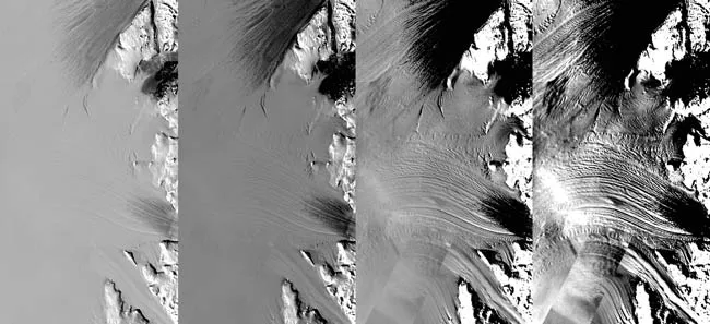
The frozen landscape of Antarctica can be seen in more detail than ever before. Scientists have stitched together more than a thousand satellite images to make a new, true-color map of the southernmost continent, unveiled by NASA today.
The map, dubbed the Landsat Image Mosaic of Antarctica, is a realistic, nearly cloudless view of the southernmost continent with a resolution 10 times greater than in previous images.
The mosaic is made up of about 1,100 images from the NASA-built Landsat 7 satellite, nearly all of which were captured between 1999 and 2001. The only gap in the images is a doughnut hole-shaped area at the South Pole. Features half the size of a basketball court are visible on the map, making it the most detailed view of Antarctica yet.
Latest Videos From
"This innovation is like watching high-definition TV in living color versus watching the picture on a grainy black-and-white television," said Robert Bindschadler, chief scientist of the Hydrospheric and Biospheric Sciences Laboratory at NASA's Goddard Space Flight Center in Greenbelt, Md. "These scenes don't just give us a snapshot, they provide a time-lapse historical record of how Antarctica has changed and will enable us to continue to watch changes unfold."
The first satellite images of Antarctica were taken in 1972, though these provided much less detail. Prior to satellite, images of Antarctica came from airplanes and survey ships.
Researchers hope that the more detailed map can be used to better plan scientific expeditions and help geologists map the continent's rock formations.
"This mosaic of images opens up a window to the Antarctic that we just haven't had before," Bindschadler said. "It will open new windows of opportunity for scientific research as well as enable the public to become much more familiar with Antarctica and how scientists use imagery in their research."
The map mosaic is freely available to the public on the Web, with eight different versions available for download.

 Live Science Plus