Medieval Earthquake Moved River 12 Miles

An earthquake in 1570 changed the course of the Po River in Italy, new research finds.
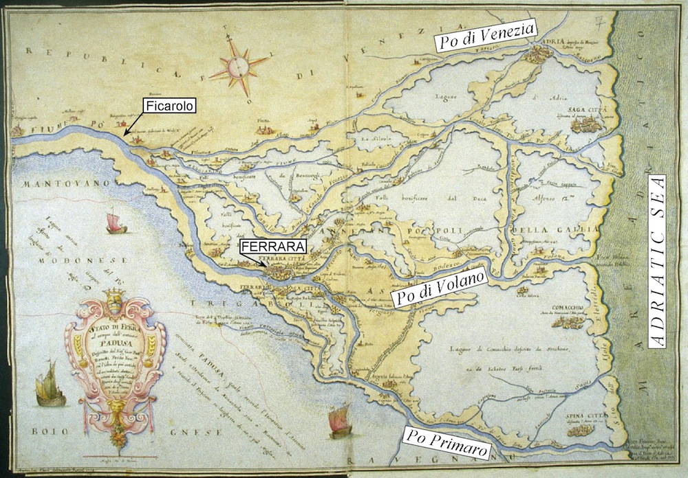
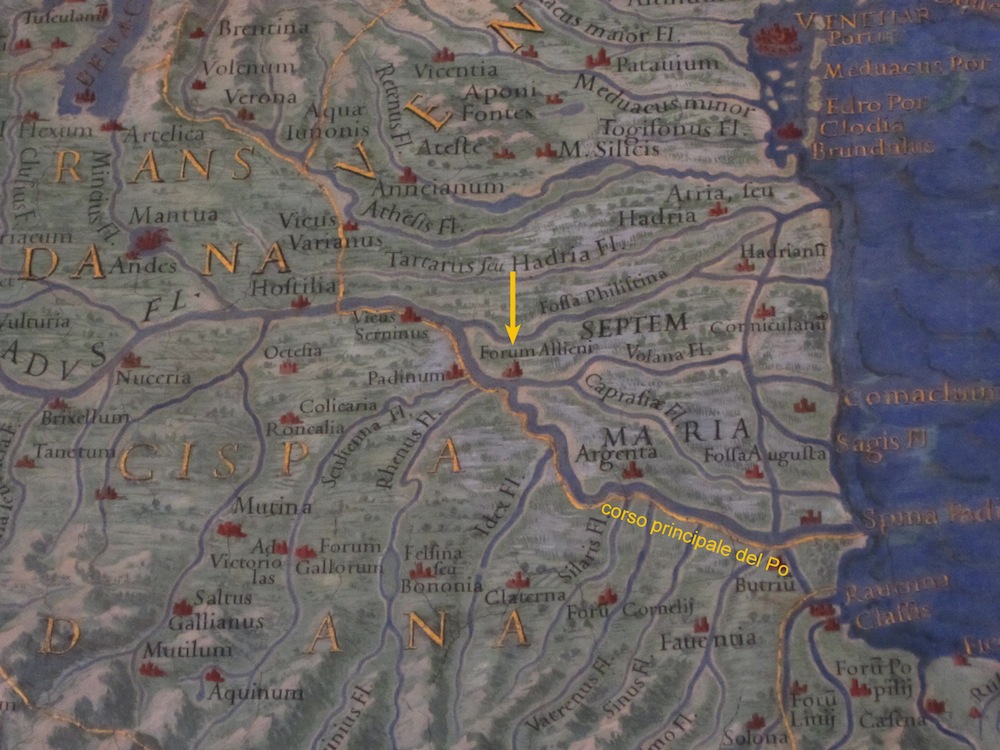
The Po, the longest river in Italy, has shifted northward about 12 miles (20 kilometers) between the towns of Guastella and Ficarolo over the past 2,800 years, researchers reported July 20 in the Journal of Geophysical Research: Solid Earth. This shift likely happened in spurts, forced by quakes.
The 1570 temblor caused a 4- to 6-inch (10 to 15 centimeters) uplift of the right flank of the river and resulted in a major one-time shift of the final portion of the waterway, according to geoscientists Livio Sirovich and Franco Pettenati of the National Institute for Oceanography and Experimental Geophysics (OGS) in Trieste. As a result of the quake, the river's delta moved 25 miles (40 kilometers) north, to its current position. [7 Ways the Earth Changes in the Blink of an Eye]
The 1570 quake was a 5.8-magnitude event and caused widespread damage in the city of Ferrara. At the time, Pope Pius V blamed God's wrath for the destruction, because the city was a refuge for Jews. The damage prompted Italian architect Pirro Ligorio to invent the first buildings designed to withstand earthquakes, according to Italian historians.
Extensive records of the damage to Ferrara survive, allowing modern geophysicists to reconstruct many details of the 16th-century quake. Using those historical records plus modern modeling techniques, the researchers located the fault that ruptured in 1570: It sits 9 miles (14 km) north-northeast of the city. The fault is a so-called blind fault, meaning it sits under sediment, so the break isn't visible from the surface.
On May 20, 2012, a magnitude-6.1 earthquake struck the Emilia-Romagna region in northern Italy, damaging historical buildings in the cities of Finale Emilia, Ferrara and Modena. At the time, it seemed the quake could have been caused by the same fault that broke in 1570. But this new discovery reveals that the two quakes were not caused by the same fault, Pettenti said in a statement.
The study found that the May 20, 2012, quake transferred stress to a nearby fault in the area, which then triggered a magnitude-5.8 quake on May 29 of that year, Sirovich said in a statement.
Get the world’s most fascinating discoveries delivered straight to your inbox.
"Conversely, fortunately, the shock of May 20 did not transmit significant stress towards the fault found today by OGS, that ruptured in 1570," Sirovich said.
Follow Stephanie Pappas on Twitter and Google+. Follow us @livescience, Facebook & Google+. Original article on Live Science.

Stephanie Pappas is a contributing writer for Live Science, covering topics ranging from geoscience to archaeology to the human brain and behavior. She was previously a senior writer for Live Science but is now a freelancer based in Denver, Colorado, and regularly contributes to Scientific American and The Monitor, the monthly magazine of the American Psychological Association. Stephanie received a bachelor's degree in psychology from the University of South Carolina and a graduate certificate in science communication from the University of California, Santa Cruz.


