













New Roadkill Map Finds California 'Ring of Death'

Northern California's car-clogged freeways run through thousands of acres of protected wetlands, creating a "ring of death" east of San Francisco, according to an ongoing study.
Scientists at the University of California, Davis, have plotted some 29,000 reports of roadkill to identify the most hazardous roadways for the state's wildlife. The volunteer reports, collected over the past five years, cover more than 40 percent of California's highways and roads.
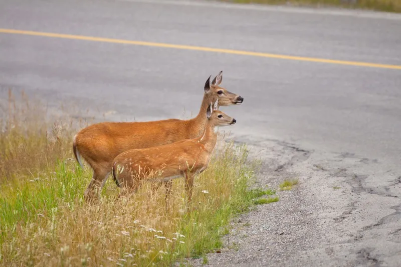
Tracking roadside carcasses may sound odd, but the endeavor can reduce deaths for both drivers and wildlife, the scientists said. For instance, the study found many hotspots where animals are repeatedly killed by cars and trucks. Adding crossings at these hotspots, such as underpasses or land bridges, could improve safety. "Larger animals can cause fatal collisions and people will sometimes swerve to avoid smaller animals," said Fraser Shilling, co-director of the UC Davis Road Ecology Center, which coordinates the study.
In Southern California, the California Department of Transportation (Caltrans) plans to build five new wildlife crossings along state Route 94 in San Diego County, where the study identified roadkill hotspots, Shilling said. [In Images: 100 Most Threatened Species]
In the San Francisco Bay area, the map of carcasses resembles a "ring of death" because of the round shape of the Bay and its roads, Shilling said. Protected marshes and undeveloped land line the shoreline, and these refuges are adjacent to, or crossed by, highways and roads. "We've created a situation where there's no barrier between highway and habitat," Shilling said. "If we have busy highways adjacent to where we attract birds, then we are setting up conflicts."
A similar problem exists near Sacramento, where Interstate 5 runs through the Sacramento National Wildlife Refuge, a stopover for migrating birds.
One way to prevent bird deaths is to plant vegetation that keeps them from flying across drivers' paths, Shilling said. For low-diving birds of prey, such as barn owls and marsh hawks, that means 25-foot-tall (7 meters) plants or trees bordering the highway, he said.
Get the world’s most fascinating discoveries delivered straight to your inbox.
"The key is to pop them up over the roadway above the airstream of trucks," Shilling told Live Science. "That will help reduce the chance of collisions."

For ecologists, the roadkill map also highlights how animals can or can't move through wild and urban landscapes in California.
In some regions, the deaths are spread all along a highway, such as with Route 17 in the Santa Cruz Mountains and Interstate 80 through the Sierra Nevada. Both roadways have wildlife undercrossings, but only a handful of species use them, according to cameras that Shilling uses to monitor the tunnels. The study logged deaths from 390 species between 2009 and 2014; California has some 680 vertebrate species. (To file a roadkill report, visit wildlifecrossing.net.)
The roadkill patterns suggest these routes are barriers that separate many wildlife populations.
"Where the whole highway is a barrier, it bisects very important ecoregions," Shilling said. "California's fishnet of roads has effectively fragmented many populations into little populations, which effectively spells their doom."
In Southern California, it's so rare for a mountain lion to successfully cross the region's multilane freeways that such an event makes the evening news. The fragmented Southern California mountain lion population is struggling to survive amidst the region's freeways. One male lion, known as P-22, is hemmed in by roads without the chance of a mate, unless a female also races across a freeway without dying.
Here are the five worst wildlife roadkill spots in California, as identified by the study.
- Interstate 5: Awful for owls between Willows and Williams. Bad for bears near Mount Shasta. Worrisome for all wildlife in the Tejon Pass.
- State Route 17: Disastrous for large animals such as mountain lions, bobcats and deer.
- Interstate 280 near San Francisco: Deadly for deer.
- State Route 50 in the Sierra Nevada: Bad for several species.
- State Route 101 in Northern California: Fatal for many forms of wildlife.
Follow Becky Oskin @beckyoskin. Follow Live Science @livescience, Facebook & Google+. Originally published on Live Science.
