Lightning Electrifies Cyclone's Eye in Dramatic Space Photo

Get the world’s most fascinating discoveries delivered straight to your inbox.
You are now subscribed
Your newsletter sign-up was successful
Want to add more newsletters?
Join the club
Get full access to premium articles, exclusive features and a growing list of member rewards.
From a quiet perch above a huge and threatening storm is a hauntingly beautiful view.
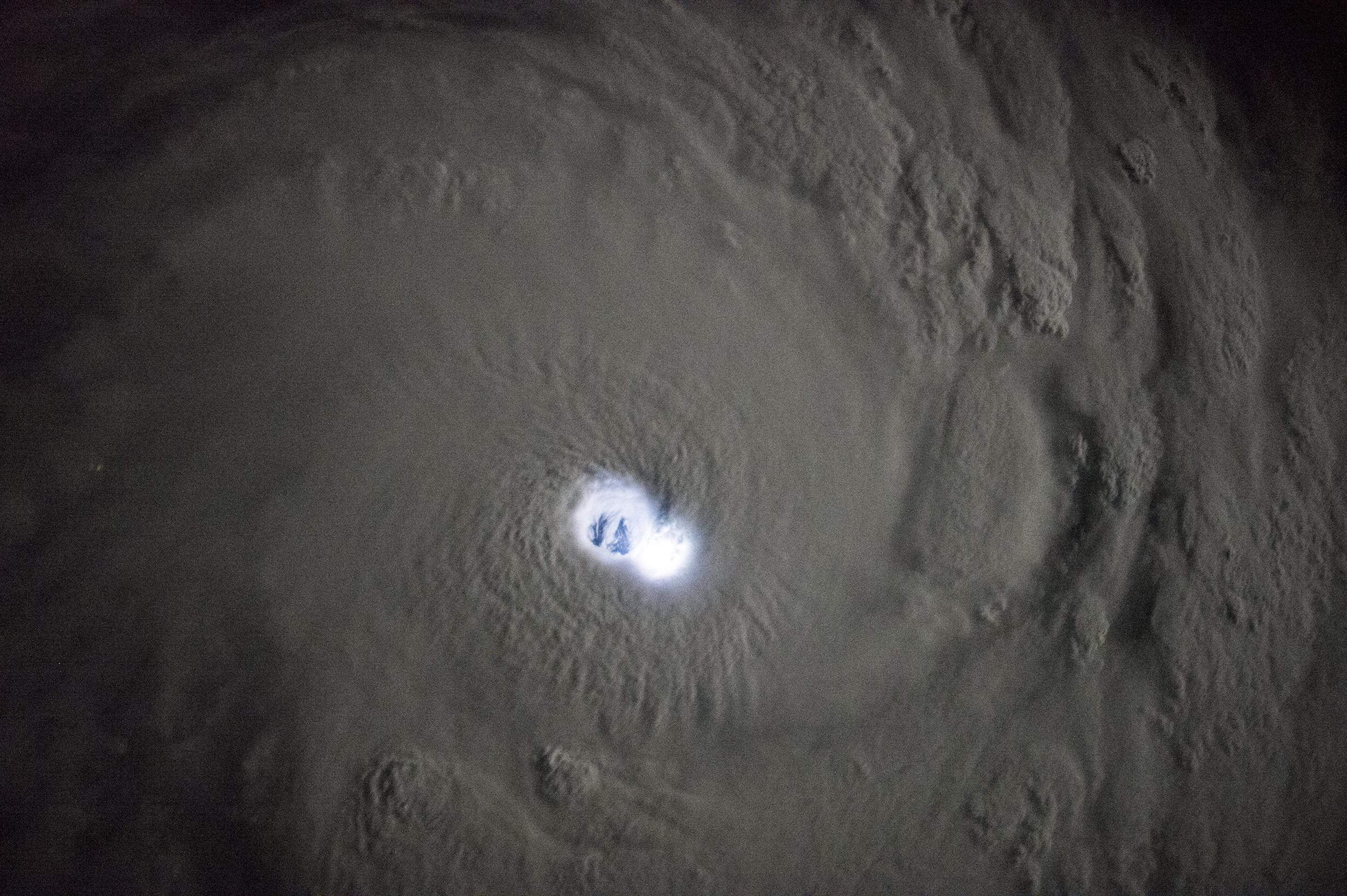
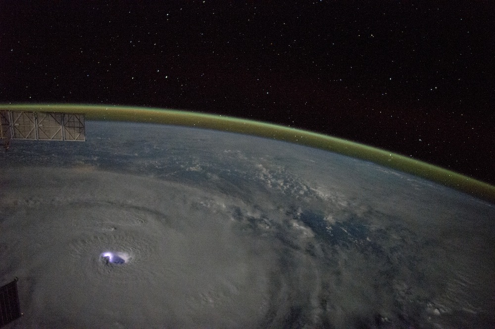
Italian astronaut Samantha Cristoforetti captured this jaw-dropping photo on Jan. 12, at the exact moment when lightning struck the eye of Cyclone Bansi. The International Space Station was passing east of Madagascar as the cyclone churned below over the Southern Indian Ocean.
The soot-colored clouds can be seen spiraling inward toward the eye of the storm, the cloud-free zone that forms in the storm's center where the air sinks. Cyclone Bansi's eye extended 20 to 40 miles (32 to 64 kilometers) across before it hit the so-called eyewall, a ring of towering thunderstorms. [Hurricanes from Above: See Nature's Biggest Storms]
Article continues belowBefore this photo was captured, Cyclone Bansi was just a tropical disturbance — a significant cluster of showers and thunderstorms. But, conditions in the region were just right for a cyclone to form. The water was warm, the air was moist, the winds were turbulent and the air pressure varied greatly with altitude. (Cyclones are the same phenomenon as hurricanes and typhoons; they are just called different names in different ocean basins.)
As winds picked up, the disturbance became slightly more organized, and by Jan. 11, it reached tropical cyclone status, with winds gusting at more than 115 mph (185 km/h).
Cyclone Bansi eventually reached Category 4 strength, with winds strong enough to tear roofs off homes and uproot trees. Storms of this strength often leave areas uninhabitable for weeks or even months. Luckily, Bansi remained over the Indian Ocean throughout its lifetime.
In these photos, the storm's eye wreaked havoc over water. Inside, waves from all directions slammed into each other, creating monster waves as tall as 130 feet (40 meters). On land, however, this would have surprisngly been the calmest part of the storm, with skies mostly clear of clouds, wind and rain.
Get the world’s most fascinating discoveries delivered straight to your inbox.
The storm has since weakened and dissipated.
Follow Shannon Hall on Twitter @ShannonWHall. Follow Live Science @livescience, Facebook & Google+. Original article on Live Science.
 Live Science Plus


