
Deadly New Zealand Earthquakes Weakened Earth's Crust
A series of deadly earthquakes that shook New Zealand in 2010 and 2011 may have weakened a portion of Earth's crust, researchers say.
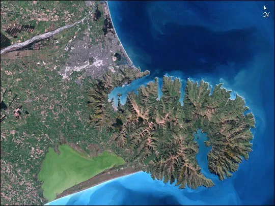
New Zealand lies along the dangerous Ring of Fire — a narrow zone around the Pacific Ocean where about 90 percent of all the world's earthquakes, and 80 percent of the largest ones, strike.
A devastating magnitude- 6.3 quake struck New Zealand's South Island in 2011. Centered very close to Christchurch, the country's second-largest city, it killed 185 people and damaged or destroyed 100,000 buildings. The earthquake was the costliest disaster to ever strike New Zealand, consuming about one-sixth of the country's gross domestic product.
This lethal earthquake was the aftershock of a magnitude-7.1 temblor that struck 172 days earlier (in 2010) in the area, causing millions of dollars in damage to bridges and buildings, and seriously injuring two people. Although the 2010 temblor was stronger than its aftershock, it caused less damage because it occurred farther away from any city. The 2011 earthquake was, in turn, followed by a number of large aftershocks of its own. [Image Gallery: This Millennium's Destructive Earthquakes]
Scientists found that most of the earthquakes that struck New Zealand during these two years released abnormally high levels of energy, consistent with those seen from ruptures of very strong faults in the Earth's crust. To learn more about this long series of energetic quakes, researchers analyzed the rocks beneath the area hit, known as the Canterbury Plains.
Widespread weakening
Approximately 6 miles (10 kilometers) below the Canterbury Plains lies a large, extremely strong block of volcanic rock called the Hikurangi Plateau, which was pulled underground about 100 million years ago, when the portion of the Earth's surface it rested on dove under the edge of the ancient supercontinent Gondwana. It remains attached to Earth's crust, welded to chunks of a dark, gray sandstone known as greywacke.
The scientists analyzed seismic waves detected before and after the quakes by GeoNet, a network of seismographs across New Zealand. Based on this data, including seismic waves from more than 11,500 aftershocks of the 2010 quake, they mapped the 3D structure of the rock under the Canterbury Plains, similar to the way ultrasound data can provide an image of a fetus in a womb.

Beneath the surface broken by the quakes, the researchers identified a broad region that appeared to be dramatically weaker after the quakes. This suggests there was widespread cracking of greywacke 3 miles (5 km) around the fault. In contrast, earthquakes of similar magnitude in the crust elsewhere typically only "produce zones of cracked rock around the fault which are a few hundred meters wide," said study lead author Martin Reyners, a seismologist at research institute GNS Science in Lower Hutt, New Zealand.
Until now, scientists had assumed that the strength of Earth's crust remains constant during aftershocks. But these new findings, detailed online Nov. 24 in the journal Nature Geoscience, suggest energetic quakes can lead to widespread weakening of the crust.
"Such widespread weakening is not common, and has not been reported previously," Reyners told LiveScience's OurAmazingPlanet.
Why there?
To explain why weakening was seen in that particular region and not elsewhere after strong quakes, Reyners noted the increasing pressure and temperature seen with increasing depth in the crust that usually means that at depths of more than about 6.8 miles (10.9 km), rocks are no longer brittle. As a result, the rocks often flow, not crack, when force is applied to them.
"This is known as the brittle-plastic transition," Reyners said.
However, "because of the very strong rock unit underlying Canterbury, the brittle-plastic transition is very deep — it lies at about 35 kilometers [22 miles] depth," Reyners said. As such, widespread cracking and weakening of the rock occurred.
The researchers will now focus on figuring out how widespread this strong block of rock is at shallow depths throughout the eastern portion of the South Island of New Zealand. "This is important for defining the seismic hazard for communities in this region," Reyners said.
Follow OurAmazingPlanet @OAPlanet, Facebook and Google+. Original article at LiveScience's OurAmazingPlanet.

